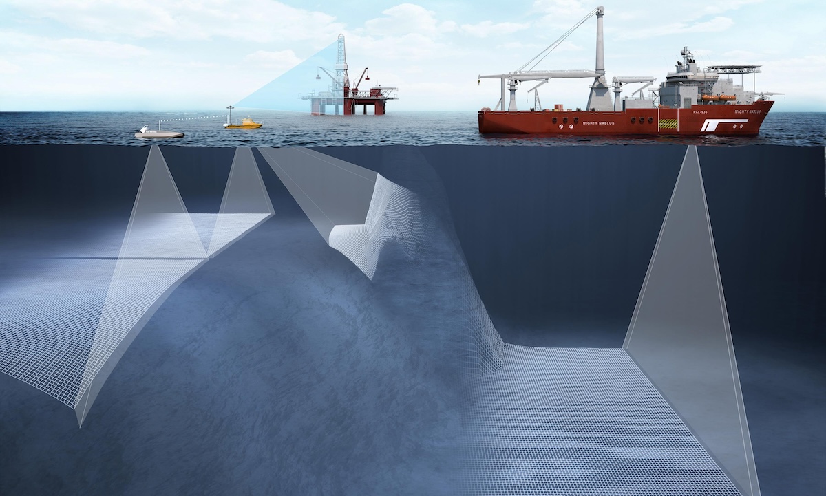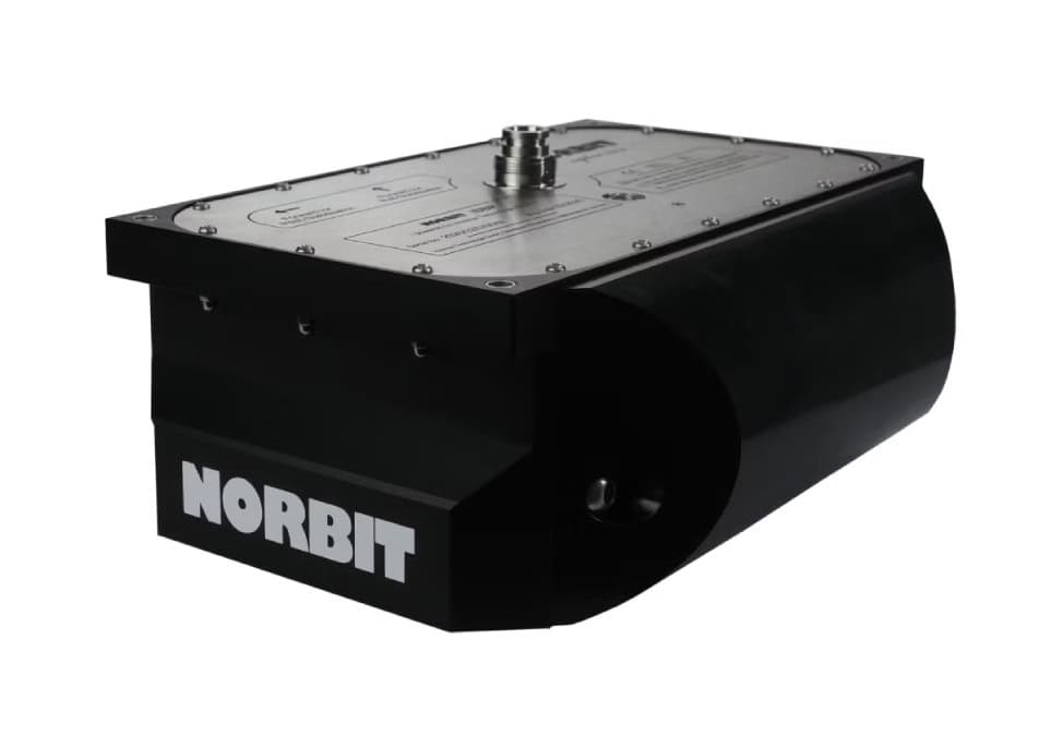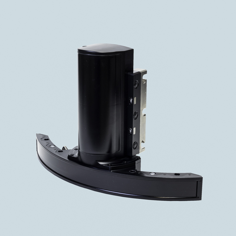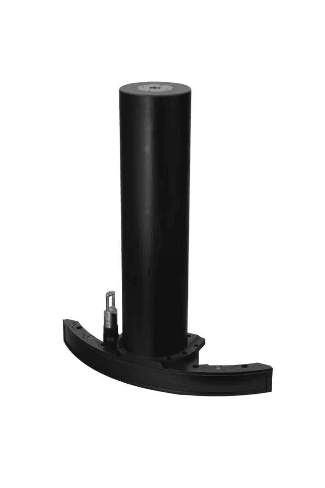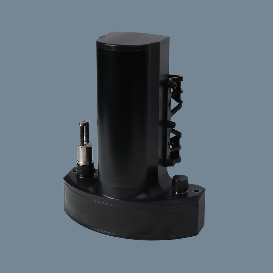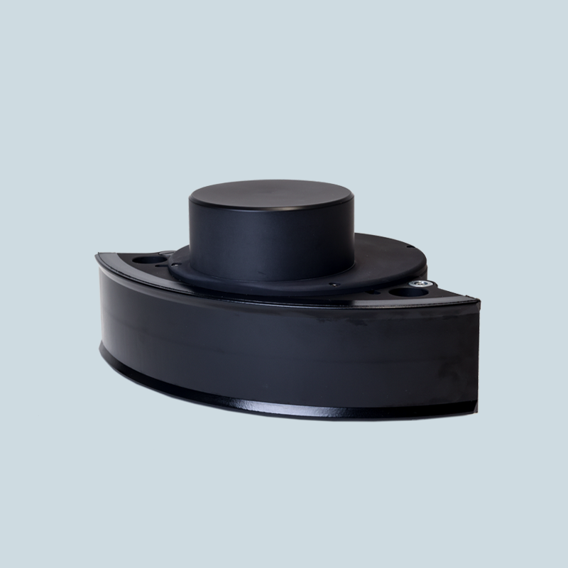

NORBIT Subsea conducted a bathymetric survey on the Qing River in Hubei Province to document the capability of the NORBIT WINGHEAD ultra-high-resolution multibeam sonar in shallow to mid-depth freshwater environments.
The survey objective was to demonstrate the system’s ability to achieve full bank-to-bank coverage in a single pass by using its wide swath angle.
River Background and Survey Setting
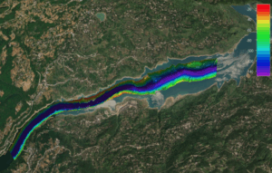
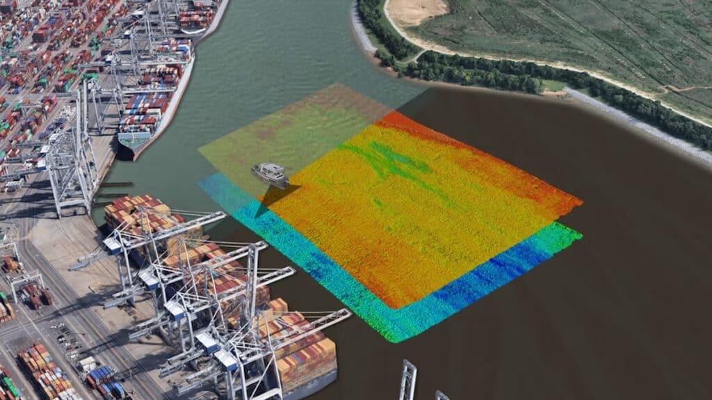
Figure 1: Overall Survey Area approximately 5km of Qing River, Hubei
The Qing River, a major Yangtze tributary, has been reshaped by three hydropower dams constructed during the 1980s: Shuibuya at 230 meters depth, Geheyan, and Gaobazhou.
The Qing River includes the deepest inland water body in China, providing a suitable location for evaluating wide-swath multibeam performance across varied depths. The NORBIT WINGHEAD sonar and NORBIT DCT Acquisition Software were used during the operation, and the full installation on an ad hoc vessel took approximately one hour before the survey began.
Installation at Qing Jiang Jetty
The WINGHEAD multibeam sonar was mounted on the port side of the vessel, with Antenna 1 and Antenna 2 positioned at the bow. Real-time GNSS RTK NTRIP corrections were supplied through the integrated NTRIP client within the NORBIT interface. The system was operated with frequency in automatic mode, vessel speed maintained near 3 to 4 knots, and surveyed depths reaching approximately 190 meters.
Vessel Characteristics
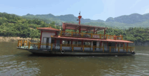
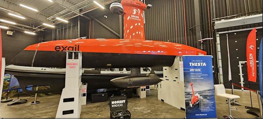
Figure 2: Survey Vessel
The vessel used for the survey had the following particulars:
- Length overall: 44 meters
- Breadth overall: 12 meters
- Gross tonnage: 180 tons
- Net tonnage: 150 tons
- Height: 8.1 meters
- Draft: 2 meters
Survey Data Outputs
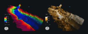
Figure 3: Survey Area with Elevation Data (Left) & Intensity Data (Right)
Real-time displays showed point cloud information and elevation data produced during the survey, along with intensity data in which brighter areas were linked to sand or rock and dimmer areas to mud. Processed results in QPS Qimera illustrated coverage at a 180-degree swath angle, while the comparison figure showed that a traditional 140-degree angle would not include a substantial portion of the same bathymetric area.
The sonar interface presented live data together with a 3D point cloud at the 180-degree swath setting, and the survey outputs included elevation and intensity data for the mapped section of the river.
Outcome
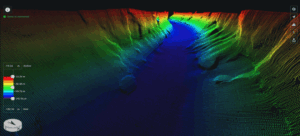
Figure 4: 3D Point Cloud of the Qing River
The NORBIT WINGHEAD ultra-high-resolution multibeam sonar produced complete bank-to-bank mapping of the Qing River channel in a single pass. The tightly coupled POSMV OEM Applanix OceanMaster GNSS/INS system reduced installation-related offsets compared with arrangements that use multiple standalone sensors.
The Norbit WINGHEAD system design supported rapid mobilization, enabling survey work to begin within one hour of installation.