


Oceanbotics | 3 ROVs 1 Unified Platform
SAE Media | Maritime Reconnaissance

Advanced Navigation

verified This business has been claimed by Advanced Navigation and verified by OS&T.
Verified companies work with us to ensure we display the most up-to-date and comprehensive product information, articles and other material to help you choose the right solution for your requirements.
High-Accuracy Inertial Navigation & Underwater Acoustic Positioning Systems for Marine Applications Australia
Visit Website
Saved
Save
Contact
Advanced Navigation

High-Accuracy Inertial Navigation & Underwater Acoustic Positioning Systems for Marine Applications

Advanced Navigation is a leading developer and manufacturer of high-performance inertial navigation, positioning, and underwater acoustic technologies for marine, maritime, and offshore applications. The company’s advanced MEMS, fiber optic gyroscope (FOG), and acoustic-based systems deliver accurate and reliable navigation data for surface vessels, autonomous underwater vehicles (AUVs), remotely operated vehicles (ROVs), and offshore platforms.

Designed to perform in demanding environments, Advanced Navigation’s solutions support a wide range of applications, including hydrographic surveying, subsea inspection, oceanographic research, vessel motion monitoring, and platform stabilization. Its technologies provide precise positioning, heading, and orientation data, including in challenging conditions where GNSS signals may be degraded or unavailable.
High-Performance FOG Inertial Navigation Systems

Boreas A70 & A90

Ultra-high-performance FOG IMUs with north-seeking gyrocompassing

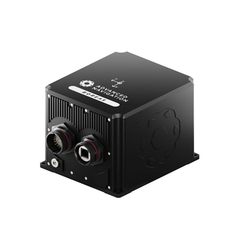
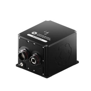
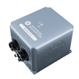
Boreas A90 FOG IMU/AHRSThe Boreas A70 and A90 are rugged, high-performance inertial navigation systems incorporating advanced digital fiber optic gyroscope (DFOG) technology for precise heading and orientation in demanding marine and offshore environments.

Featuring north-seeking gyrocompassing capabilities, the systems provide accurate heading without relying on GNSS or magnetic references, making them ideal for offshore platform stabilization, marine surveying, vessel attitude monitoring, and navigation in GNSS-denied environments.

The Boreas A70 and A90 deliver roll and pitch accuracy of 0.01° and 0.005° respectively, with high-frequency data output at up to 1000 Hz. Their compact, IP67-rated construction provides reliable performance in harsh operating conditions, while integration with external positioning sources enables full inertial navigation capabilities.

More information: Boreas A70 & A90 FOG IMUs

Boreas D90

Strategic-grade digital FOG GNSS-INS for marine surveying

digital FOG GNSS-INSThe Boreas D90 is a strategic-grade GNSS-aided inertial navigation system combining advanced digital fiber optic gyroscope technology with a dual-antenna RTK GNSS receiver to deliver highly accurate position, velocity, heading, and orientation data.

Featuring precision gyrocompassing capabilities, the system provides reliable heading information without reliance on GNSS or magnetic references. Its advanced sensor fusion and high-accuracy positioning make it ideal for demanding offshore surveying, hydrographic data acquisition, vessel motion monitoring, and marine platform stabilization.

Housed in a rugged IP67-rated aluminium enclosure and designed to withstand challenging environmental conditions, the Boreas D90 provides dependable navigation performance for marine and offshore operations.

More information: Boreas D90 digital FOG GNSS-INS

High-Accuracy MEMS GNSS/INS Solutions

GNSS Compass

All-in-one GNSS/INS navigation and heading solution

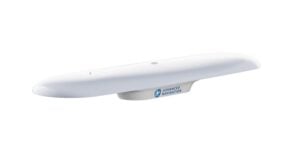
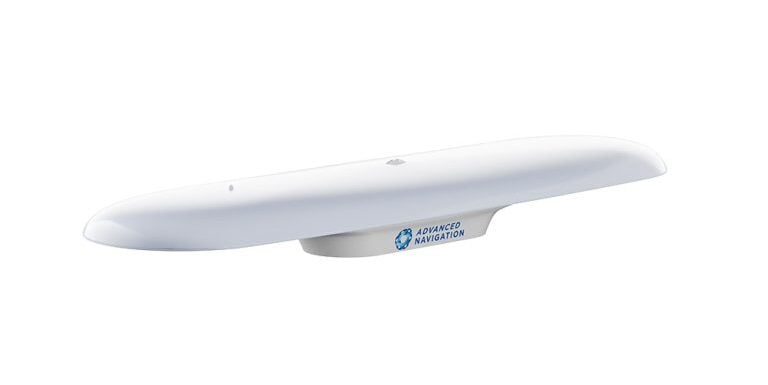
Advanced Navigation GNSS CompassGNSS Compass is an integrated GNSS/INS navigation and heading system designed to provide accurate positioning and orientation for marine vessels and autonomous surface platforms.

Combining dual-antenna GNSS heading with inertial navigation technology, the system delivers precise heading measurements without susceptibility to magnetic interference. It can maintain accurate heading during GNSS outages of up to 20 minutes, supporting reliable navigation in challenging maritime environments.

Featuring centimetre-level RTK positioning accuracy and plug-and-play connectivity through NMEA 0183, NMEA 2000, and Ethernet interfaces, GNSS Compass is ideal for USV navigation, hydrographic surveying, vessel heading determination, and marine equipment integration.

Mor information: Integrated GNSS/INS navigation & heading system

Certus & Certus Evo

Rugged GNSS-aided navigation and positioning solutions

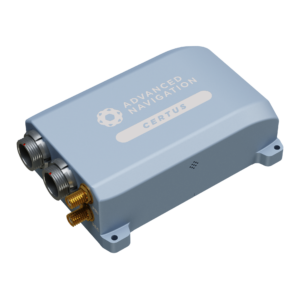
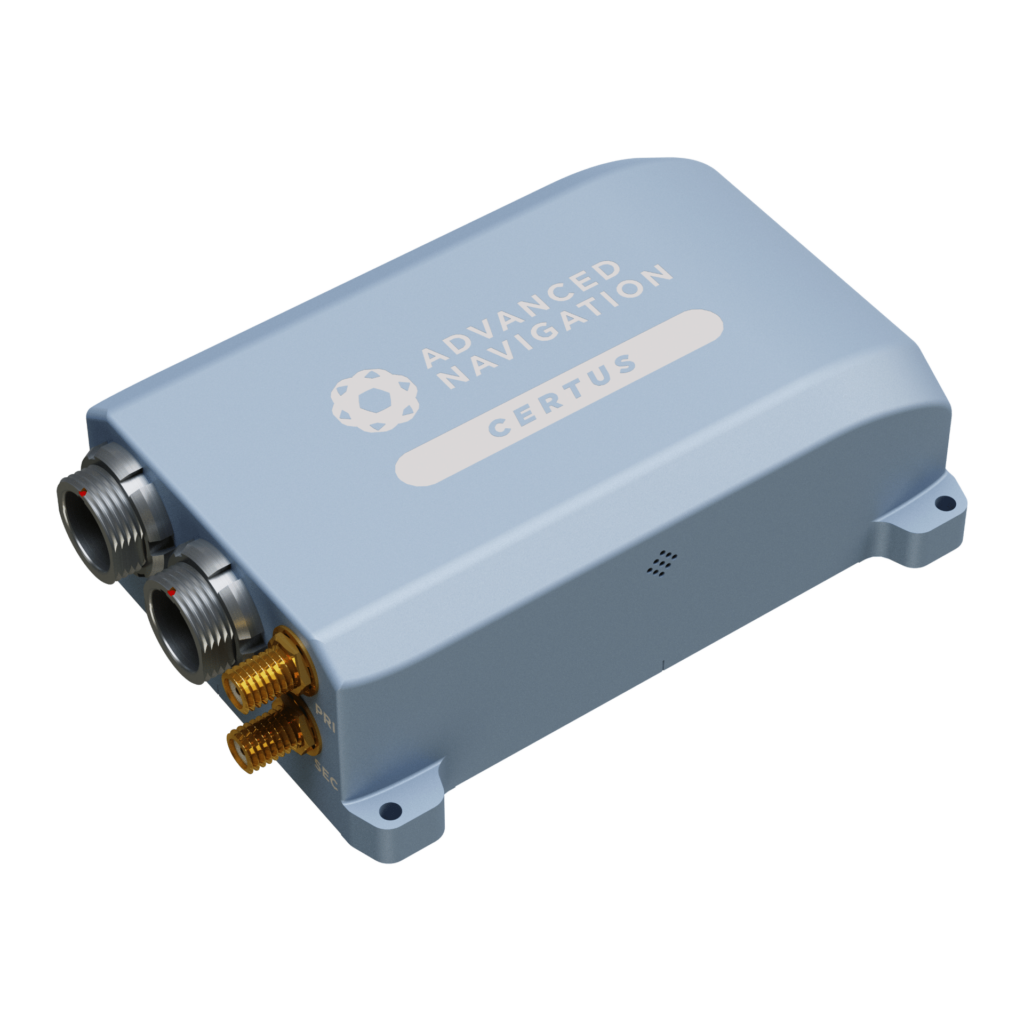
high accuracy MEMS INSCertus and Certus Evo are compact, high-performance GNSS-aided inertial navigation systems designed to deliver accurate position, velocity, heading, and orientation data for marine and offshore applications.

Combining temperature-calibrated MEMS accelerometers, gyroscopes, magnetometers, and pressure sensors with advanced AI-based sensor fusion algorithms, the systems provide reliable navigation performance in challenging operating conditions.

Dual-antenna moving baseline RTK GNSS enables precise positioning and heading determination, making Certus and Certus Evo ideal for hydrographic surveying, vessel motion monitoring, platform stabilization, and autonomous marine navigation.

Certus Mini N & Mini D

Compact and lightweight MEMS GNSS/INS solutions

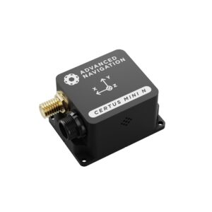
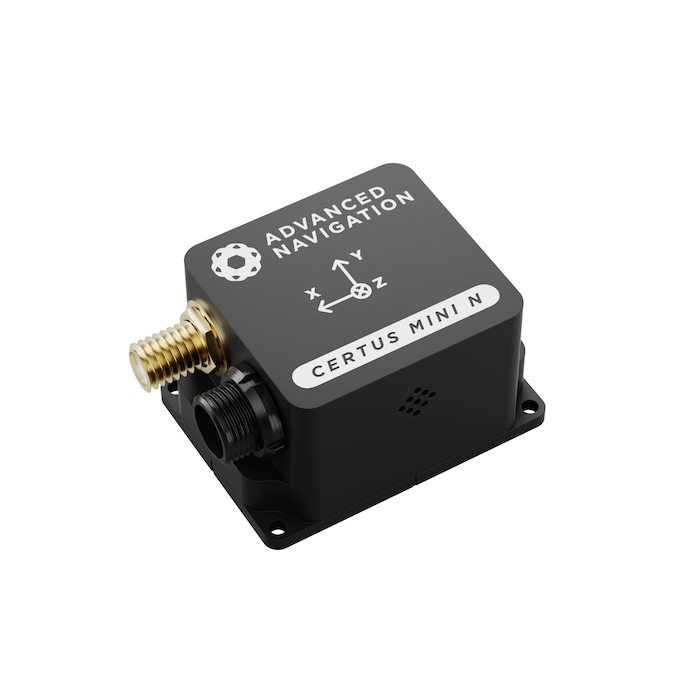
Certus Mini N miniature GNSS-aided INSCertus Mini N and Mini D are miniature GNSS-aided inertial navigation systems providing accurate positioning, velocity, heading, and orientation data for space- and weight-constrained marine platforms.

Combining high-performance MEMS inertial sensors with single- or dual-antenna GNSS receivers, the systems support multi-constellation RTK positioning and advanced AI-powered sensor fusion for reliable navigation performance.

Certus Mini D miniature dual antenna GNSS-aided INSAvailable in rugged enclosed and OEM configurations, the compact units are ideal for USVs, marine survey equipment, and navigation systems requiring minimal size, weight, and power consumption. Compatibility with industry-standard communications protocols enables straightforward integration into autonomous and remotely operated platforms.

Miniature IMUs & Attitude Heading Reference Systems

Certus Mini A

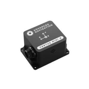
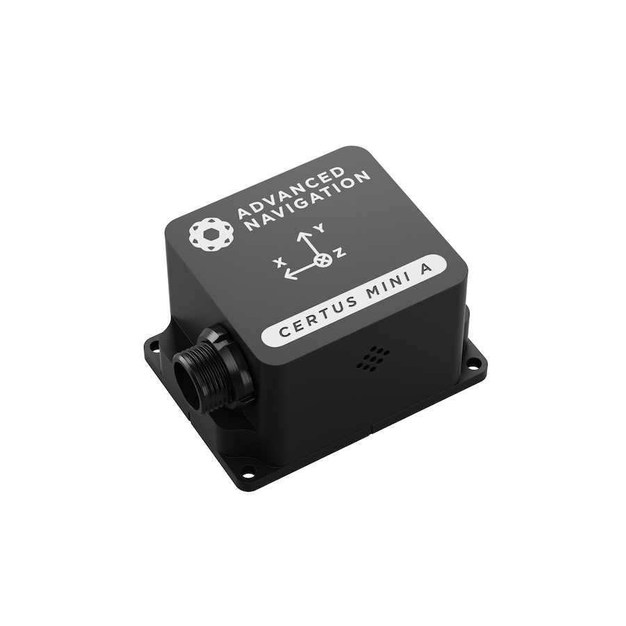
Miniature high-performance MEMS AHRSCertus Mini A MEMS AHRS Sensor

Certus Mini A is a compact attitude and heading reference system (AHRS) designed to provide accurate roll, pitch, heading, and inertial measurements for marine and subsea applications.

Incorporating advanced MEMS sensors and AI-based sensor fusion algorithms, the system delivers stable orientation data in a miniature, low-power form factor.

Its compact design makes Certus Mini A ideal for integration into AUVs, ROVs, marine instrumentation, stabilized sensor platforms, and other equipment requiring precise attitude and motion measurements.

More information: Certus Mini A Compact MEMS AHRS

Motus

Ultra-high accuracy miniature MEMS IMU

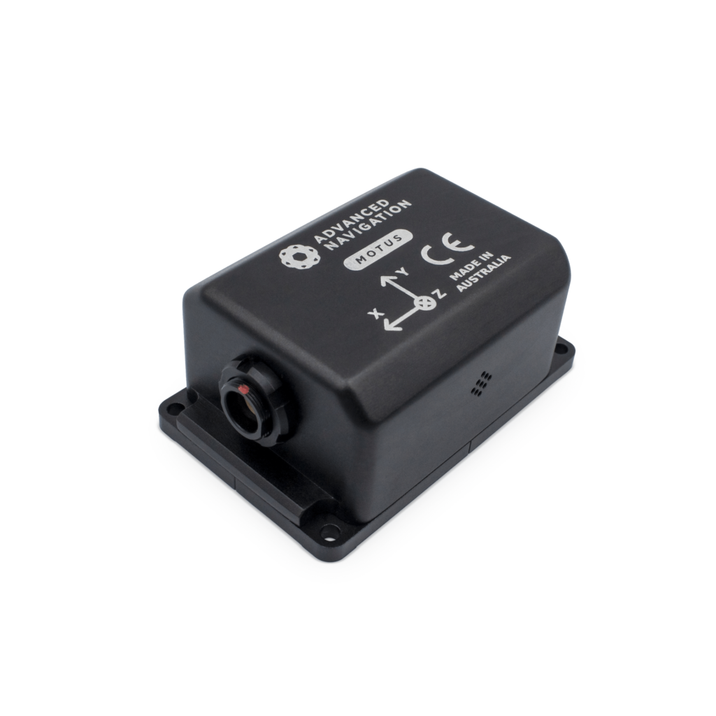
miniature MEMS IMUMotus is a high-performance miniature inertial measurement unit (IMU) providing precise acceleration and angular rate measurements for marine navigation, motion sensing, and stabilization applications.

Featuring advanced MEMS inertial technology and precision calibration, the sensor delivers highly stable motion data in a compact, lightweight package.

With a volume of just over one cubic inch and a weight of approximately 26 grams, Motus is particularly suited to size- and weight-constrained marine survey instruments, autonomous underwater platforms, and motion monitoring systems. It is available as an OEM board or in a ruggedized enclosure.

More information: Motus miniature MEMS IMU

Subsea Acoustic Navigation & Positioning Systems

Subsonus

Underwater acoustic positioning system for AUVs and ROVs

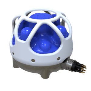
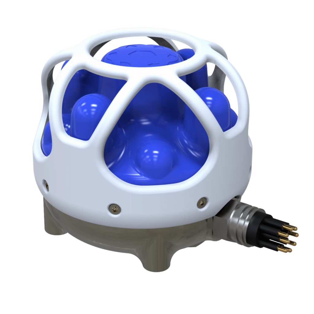
USBL underwater acoustic positioning systemSubsonus is a compact ultra-short baseline (USBL) underwater acoustic positioning system designed to provide accurate tracking, navigation, and positioning for subsea vehicles and marine operations.

Combining an eight-channel hydrophone array with a tightly coupled inertial navigation system, Subsonus fuses acoustic positioning, Doppler velocity, inertial measurements, and depth sensor data to deliver precise position, velocity, and heading information.

Capable of operating at depths of up to 1000 metres, the system is ideal for AUV and ROV tracking, underwater surveying, subsea inspection, marine platform stabilization, and station-keeping applications.

Case Study: Subsonus USBL2 Technology Accelerates JM Robotics Small-Scale ROV Program With Accurate Acoustic Heading

Subsonus Tag

Long-endurance acoustic tracking for underwater vehicles

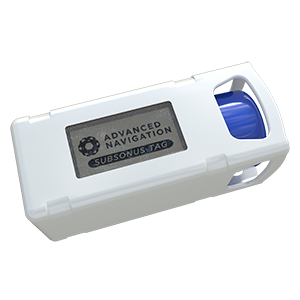
Subsonus Tagacoustic positioning transponder is a compact, cost-effective underwater acoustic positioning transponder designed to operate with the Subsonus USBL system for tracking AUVs, ROVs, and other subsea assets.

Featuring an integrated battery, wireless charging, and a low-power pressure-tolerant e-paper display, the transponder provides reliable underwater tracking with minimal maintenance requirements.

Rated for depths of up to 2000 metres and offering battery life of up to 18 months, Subsonus Tag is ideal for long-duration subsea deployments, underwater vehicle tracking, marine research, and offshore asset monitoring. A single surface Subsonus unit can support tracking of up to 65,000 individual tags.

Products

Boreas A70 & A90
Boreas A70 & A90

FOG navigation for subsea and hydrographic operations

Certus Mini A
Certus Mini A

Compact & lightweight MEMS AHRS

Certus Mini N & Mini D

Compact & lightweight MEMS GNSS/INS

Certus & Certus Evo
Certus & Certus Evo

Rugged GNSS-aided navigation & positioning solutions

Motus
Motus

Ultra-high accuracy miniature MEMS IMU

Subsonus Tag
Subsonus Tag

Low-cost tracking capability for underwater vehicles

Boreas D90
Boreas D90

Strategic-grade digital FOG GNSS-INS

Subsonus
Subsonus

Miniature underwater acoustic positioning system for AUVs and ROVs

GNSS Compass
GNSS Compass

GNSS/INS heading and positioning for marine navigation and hydrography

Articles

Modular Assembly & Validation Processes in Advanced Navigation Manufacturing
Latest
Modular Assembly & Validation Processes in Advanced Navigation Manufacturing

Advanced Navigation outlines its integrated manufacturing, validation, and quality management approach to ensure consistent performance and reliability across high precision navigation systems for demanding applications

Apr 30, 2026
Delivering Precision & Efficiency in Deepwater Navigation Systems

Advanced Navigation’s case study explores how Tamboritha balanced cost, performance, and rapid deployment using the Boreas A70 for precise deepwater ROV navigation

Apr 20, 2026
Ensuring Reliable Naval Navigation Under GPS Disruption

Advanced Navigation outlines how it protects naval vessels from GPS interference, detailing resilient inertial navigation systems, electronic protection strategies, and solutions for both surface and underwater platforms

Apr 09, 2026
Advanced Navigation Outlines Supply Chain Sovereignty in Inertial Navigation Systems

As supply chain risk grows, Advanced Navigation explains how AUKUS-aligned sourcing, vertically integrated manufacturing, and flexible system design help defense INS programs maintain continuity and compliance

Feb 05, 2026
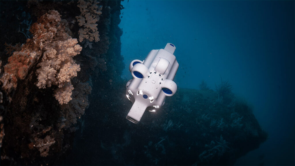
Hovering Micro AUV from Advanced Navigation Uncovers Coral Bleaching at Hall Bank

Advanced Navigation’s AUV Hydrus, in collaboration with O2 Marine, was used to capture high-resolution data revealing climate change’s impact on vulnerable coral reef ecosystems

Jun 16, 2025
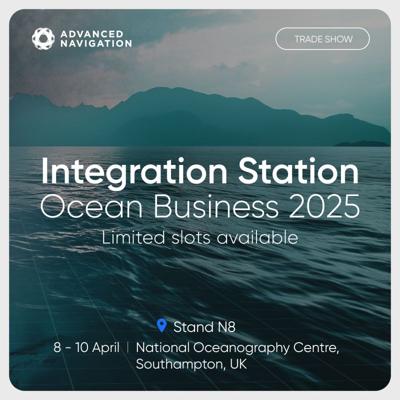
Ocean Business Integration Station with Advanced Navigation

Advanced Navigation, a global leader in high-accuracy inertial navigation solutions, will be providing hands-on experience for subsea and marine professionals on Stand N8 during Ocean Business, 8th-10th April 2025

Apr 02, 2025
New Advanced Navigation Appointment to Drive Deep Tech Innovation

Advanced Navigation has appointed Maximilian Doemling, a recognized expert in the sensor fusion market of air, land, and maritime autonomous systems, as Head of Product

Feb 19, 2025
Hydrus AUV Captures High-Resolution Seabed Imagery for Benthic Inspection

Advanced Navigation’s Hydrus AUV navigated dynamic currents and challenging seabed terrain to deliver high-resolution imagery for benthic inspection off Rottnest Island, Western Australia

Nov 21, 2024
Sustainable Approaches to Decommissioning Oil Rigs

Advanced Navigation examines the push to transform oil rigs into thriving marine habitats, exploring ecological impacts, regulatory hurdles, and underwater inspection technologies

Oct 17, 2024
Revolutionizing Underwater Exploration with the Subsonus Acoustic Compass


Advanced Navigation has released an article outlining the difficulties that come with precision navigation deep underwater, positing their Subsonus acoustic compass as an advanced solution

Sep 23, 2024
Profile Spotlight: Advanced Navigation’s INS & Acoustic Positioning Systems

Advanced Navigation has been showcasing its marine inertial sensors and acoustic-based navigation products on OST, focusing on the revolutionary Hydrus miniature AUV

Sep 19, 2024
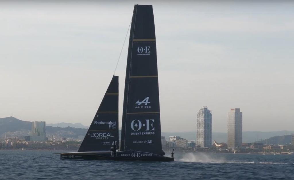
Advanced Navigation to Deliver INS & FOG Systems for America’s Cup

Advanced Navigation will equip the Orient Express Racing Team with its Spatial FOG Dual and Certus INS for the 37th America’s Cup, enhancing their yacht’s precision navigation

Aug 30, 2024
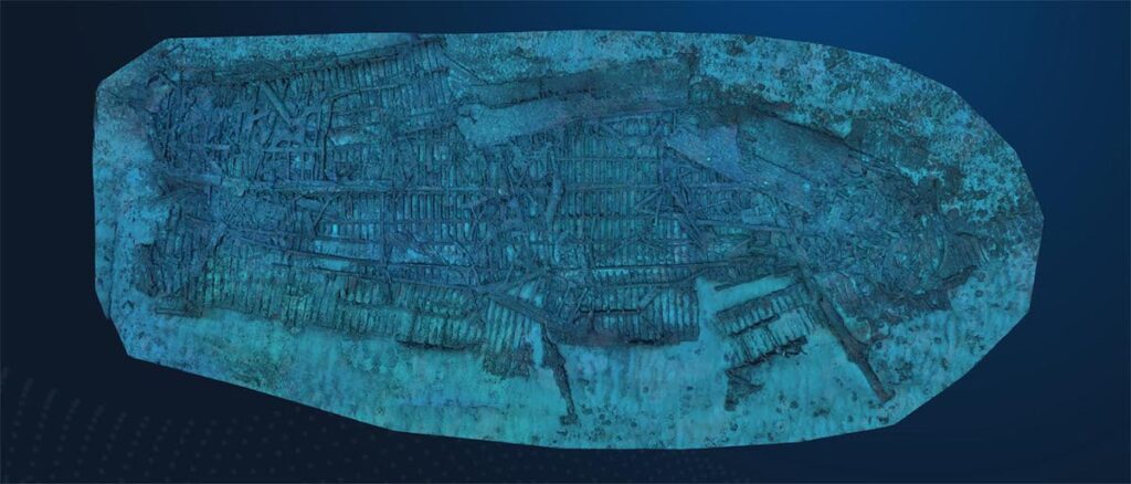
3D Shipwreck Model Built with AUV Imagery

Using the Hydrus AUV to capture geo-referenced imagery from Rottnest ship graveyard, Advanced Navigation worked with Curtin University HIVE and the WA Museum to curate and display a high-resolution replica of a 100-year-old shipwreck

Apr 04, 2024
Revolutionizing Underwater Data Capture

In this white paper, Advanced Navigation outlines how its Hydrus ROV is facilitating underwater data capture, making it affordable while...

Mar 15, 2024
High-Tech Robotics Facility Opens in Australia

Advanced Navigation’s new facility in New South Wales will scale up the manufacturing of it’s world-first AI navigation systems for GPS-denied environments

Oct 02, 2023

Videos

Webinars

Watch anytime
The Future Of Underwater Drones
Advanced Navigation
Jun 30, 2022
Regional Offices & Locations
APAC Australia Level 12, 255 George Street, Sydney, NSW 2000 +61 2 7908 9385 Contact Website
Americas United States of America 1301 19th Street, Beck Venture Center, Golden CO 80401-1705 +1 213 377 6807 Website
EMEA United Kingdom The Stanley Building, 7 Pancras Square, London N1C 4AG +31 85 888 3803 Website

THE WEEKLY eBRIEF

The latest offshore, subsea & marine technology news, straight to your inbox.

Get our weekly roundup of technology developments, new products and industry news.

By subscribing, you agree to receive the weekly OST eBrief newsletter from EchoBlue Ltd. Unsubscribe at any time using the link in every email. See our Privacy Notice.