


SAE Media | Maritime Reconnaissance
Oceanbotics | 3 ROVs 1 Unified Platform
Leading Suppliers in Turkey

Seismic & Geophysical Survey Suppliers in Turkey

Sub-bottom profiling, magnetometers, geospatial technology and GIS solutions

Discover Turkey-based suppliers of Seismic & Geophysical Survey

Suppliers: Seismic & Geophysical Survey

2 Leading Suppliers
Grid List
Filtered by:
SatLab Geosolutions
SatLab Geosolutions
Turkey (7 locations)

Cutting-Edge Surveying, Positioning & Sensing Solutions for Hydrographic & Oceanographic Applications

AGISTAR
AGISTAR
Turkey (2 locations)

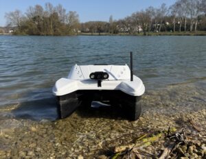
Robotic & Remote-Controlled Solutions for Waste Collection, Rescue Operations, & Aquatic Data Collection

Browse suppliers by country
Showcase your capabilities

If you design, build or supply Seismic & Geophysical Survey, create a profile to showcase your capabilities and connect with visitors who have an active requirement for your solutions.
Create Supplier Profile

Products

4 Cutting-edge Solutions
Add your solutions
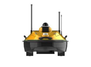
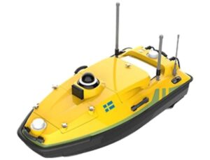
HydroBoat 1200MB USV

Integrated USV with Multibeam Sonar for Hydrographic Surveying

Integrated USV with Multibeam Sonar for Hydrographic Surveying
The HydroBoat 1200MB USV by SatLab is a lightweight, uncrewed surface vessel engineered for hydrogra...
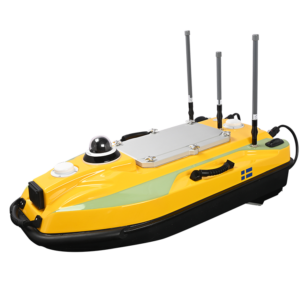
HydroBoat 1200
HydroBoat 1200

Multi-mission USV for surveying & monitoring

Multi-mission USV for surveying & monitoring
The HydroBoat 1200 is a versatile USV designed with cutting-edge CFD technology for maximum hydrodyn...
HydroBoat 990
HydroBoat 990

Single-operator USV with built-in echosounder

Single-operator USV with built-in echosounder
...d hydrographic survey platform designed to be launched and operated by just one person. With a...
BX USV
BX USV

Highly reconfigurable USV with enhanced mission endurance

Highly reconfigurable USV with enhanced mission endurance
The BX-USV is a compact and lightweight autonomous robotic platform designed to offer a low-cost and...

Related Articles

UMag Solutions Drone Magnetic Payloads Join OST Ecosystem

UMag Solutions develops high-sensitivity, drone-based quantum magnetic sensing systems for detecting naval mines, submarines, UUVs and other submerged threats in real time

Oct 14, 2026
Partners Launch Major Offshore Brazil 3D Seismic Survey

SLB and Shearwater GeoServices have launched the Amapá 3D seismic survey offshore Brazil to expand regional exploration coverage and provide critical subsurface intelligence following a recent offshore hydrocarbon discovery nearby

Sep 22, 2026
New Portable Bathymetric Survey Pole Supports USV Hydrographic Surveying

AGISTAR has introduced the GEOSTIX, a portable bathymetric survey pole combining GNSS positioning, sonar compatibility and real-time data communications for manual and USV-based hydrographic surveying

Sep 01, 2026
3D Seismic Survey to Assess Bonaparte Basin Carbon Storage

Shearwater Geoservices will conduct a 50-day 3D seismic survey in Australia’s Bonaparte Basin to assess carbon storage potential, support future injection well planning and establish baseline data for possible 4D seismic monitoring

Aug 04, 2026
Deepwater Survey Programme Supports Timor-Leste Pipeline Development

Fugro will conduct geophysical, seismic, AUV and environmental surveys for Greater Sunrise and Bayu Undan, supporting pipeline planning and offshore infrastructure development in Timor-Leste waters

Jul 31, 2026
SubC Imaging Updates DVR+ Software for Subsea Inspection Workflows

SubC Imaging has released new DVR+ software features that enable live event tagging, post-dive review, and structured export of subsea survey and inspection data

May 11, 2026
Compact Autonomous Robot & Advanced Sensors Map Arctic Seafloor

Engineers from MBARI’s CoMPAS Lab successfully deployed the portable MOLA AUV beneath two meters of Arctic sea ice to conduct high-resolution mapping surveys in demanding conditions

Apr 30, 2026
Blue Marble Geographics Launches Global Mapper 27 with Integrated Geodetic Capabilities

Blue Marble Geographics has introduced Global Mapper 27, embedding its GeoCalc geodetic library within the platform and expanding capabilities for LiDAR validation, terrain modeling, and data interoperability

Apr 27, 2026
applied acoustics Discusses HydraSeis Multichannel Seismic System for Offshore Surveys

Michael Calvert, Geophysical Product Manager at applied acoustics, outlines the design, performance characteristics, and deployment of the HydraSeis multichannel seismic system, with a focus on its use in shallow offshore subsurface imaging and site investigation

Apr 23, 2026

THE WEEKLY eBRIEF

The latest offshore, subsea & marine technology news, straight to your inbox.

Get our weekly roundup of technology developments, new products and industry news.

By subscribing, you agree to receive the weekly OST eBrief newsletter from EchoBlue Ltd. Unsubscribe at any time using the link in every email. See our Privacy Notice.