AGISTAR, in collaboration with GEOBSYS and DIRECT TOPO, has introduced the GEOSTIX, a portable bathymetric survey pole designed for hydrographic data acquisition in lakes, rivers, reservoirs, canals, and other inland waterways.
Measuring approximately 70 cm in length, the system is designed to support mobile field operations and can be extended when additional reach is required. After a survey, the pole can be separated into compact sections for transport in a case or travel luggage, supporting movement between job sites and travel to international projects.
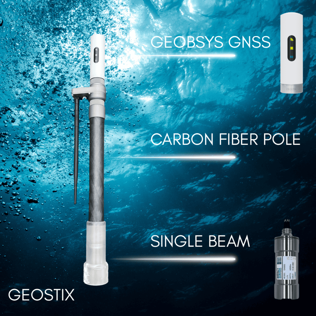
The GEOSTIX combines positioning, depth measurement, onboard data storage and communications within a single portable surveying platform. A GEOBSYS GNSS receiver is positioned at one end of the pole to provide the positioning data required for hydrographic surveys, while the opposite end is designed to accommodate a range of compatible single beam echo sounders, including the ISA500, PA500 and VA500.
During operations, survey information is recorded to an integrated SD card while positioning and depth data are also transmitted in real time to a tablet or computer. This allows operators to monitor data collection as the survey progresses. Bluetooth connectivity is additionally available for wireless data transfer and system communication.
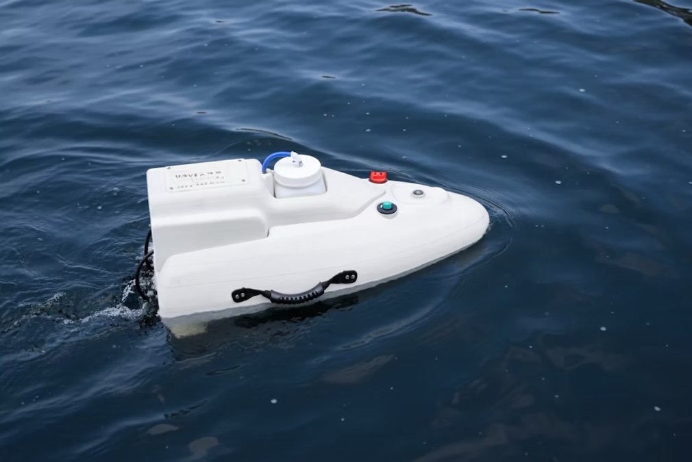
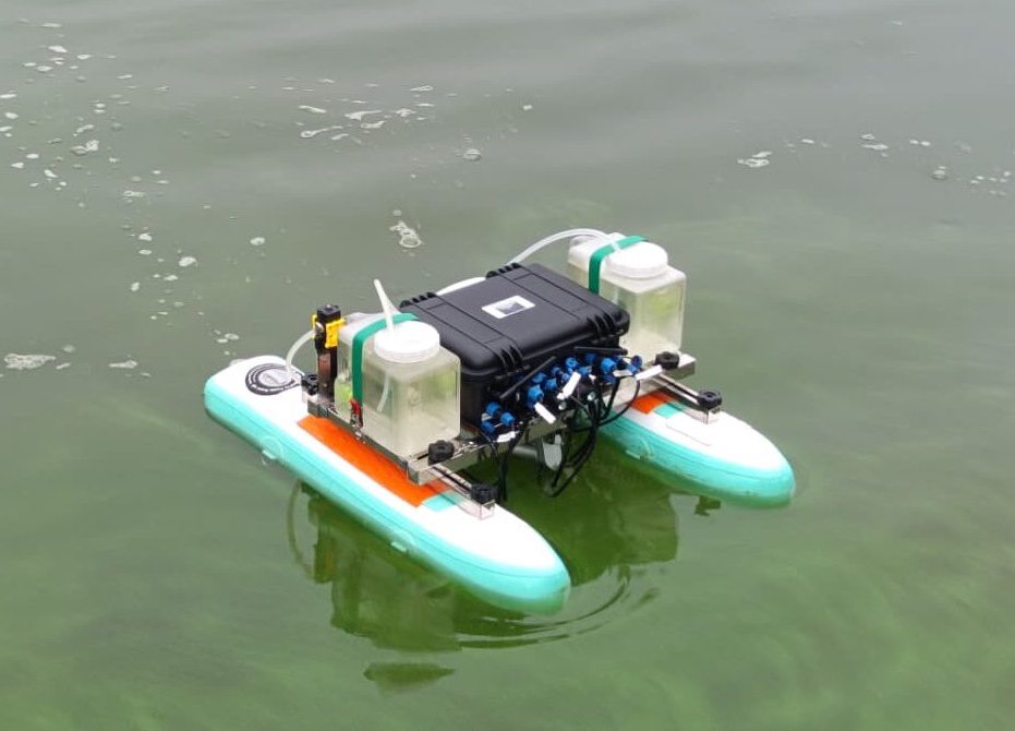
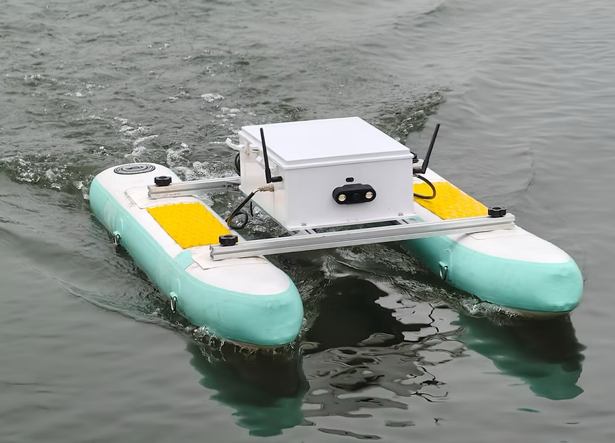
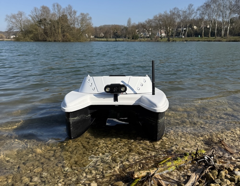
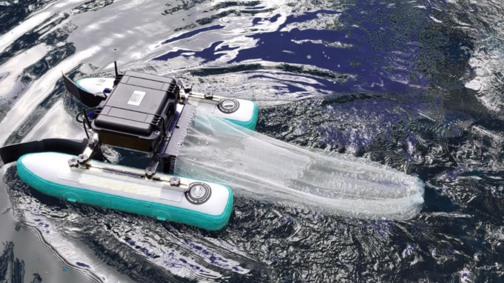
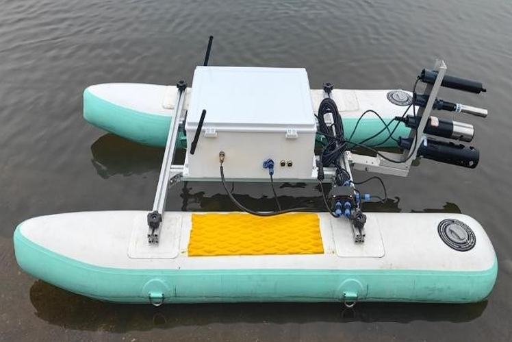
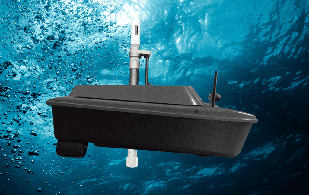
The GEOSTIX has also been designed for integration with AGISTAR’s complete range of Uncrewed Surface Vehicle (USV) platforms. Using a dedicated mounting bracket, the survey pole can be installed on an AGISTAR USV for bathymetric surveying operations.
The system can be used as a portable manual survey pole or deployed aboard AGISTAR USVs. Its lightweight construction is intended to complement the mobility of AGISTAR’s USVs, particularly for surveying areas that may be difficult or hazardous to access using conventional methods.
Potential applications identified for the system include environmental monitoring, reservoir management, engineering projects, dredging surveys and scientific research. Across these applications, the GEOSTIX brings together GNSS positioning, compatible sonar, onboard data storage and real-time communications in a system that can be used for both manual and autonomous surveying operations.