Suppliers
Add your company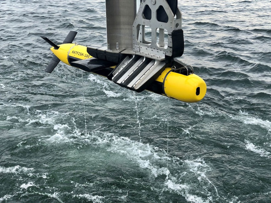
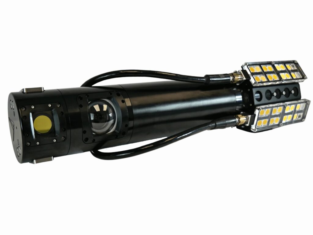
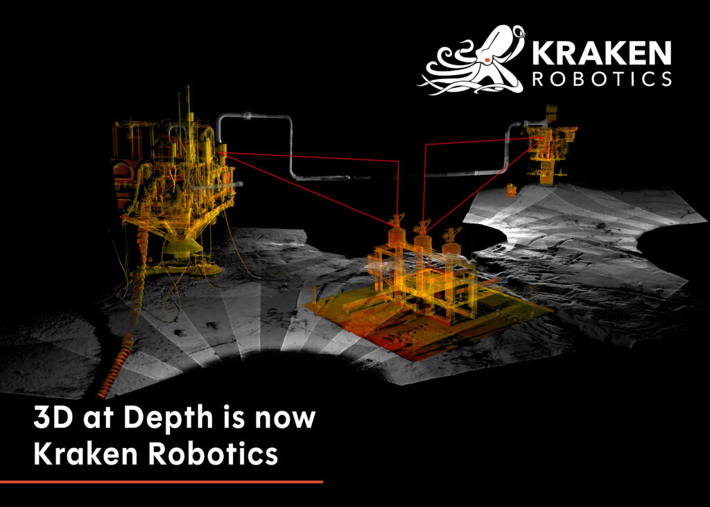
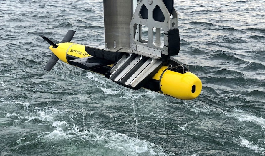
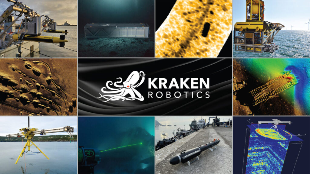
Kraken Robotics
Industry-Leading Underwater Imaging and Power Solutions for Demanding Professional Survey Applications
Gold Partner
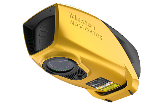
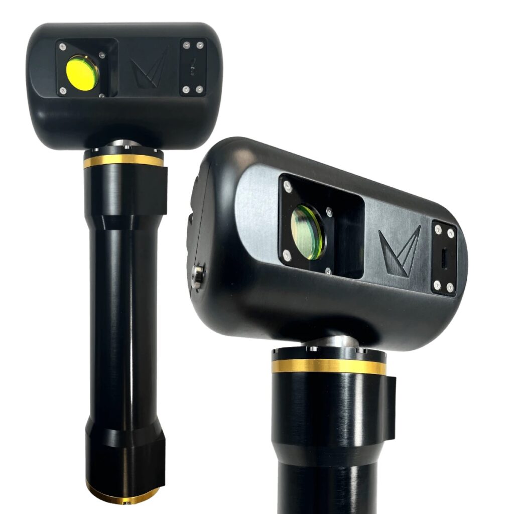
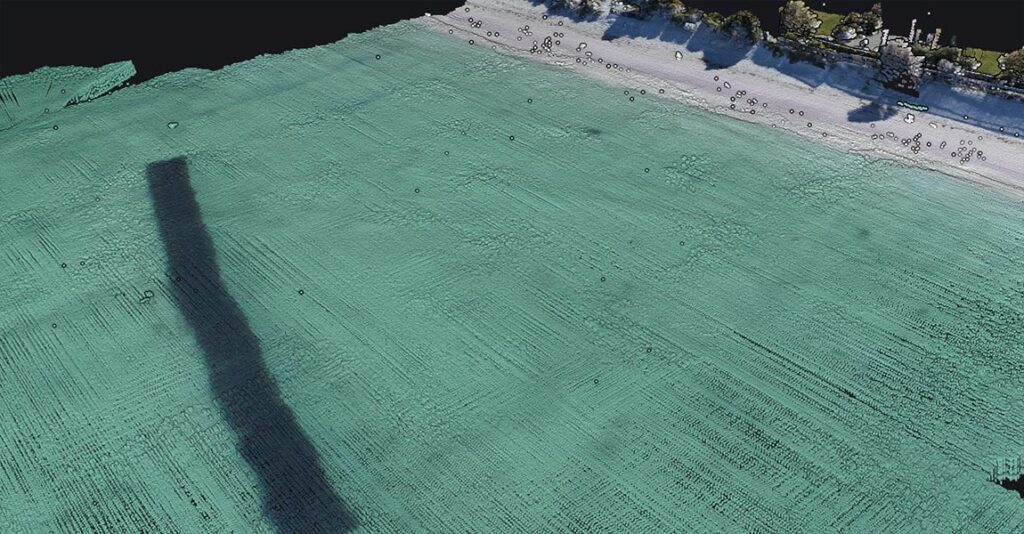
YellowScan
Innovative Bathymetric LiDAR Scanning Solution for Professional 3D Mapping & Surveying Applications
Gold Partner
Showcase your capabilities
If you design, build or supply LiDAR Systems, create a profile to showcase your capabilities on this page