YellowScan will host a live demonstration of its topo bathymetric LiDAR system, the YellowScan Navigator, on Thursday June 26th in Montpellier, France.
Running from 9:30am to 4pm, the event will spotlight advanced technologies designed for precise land and water surface mapping.
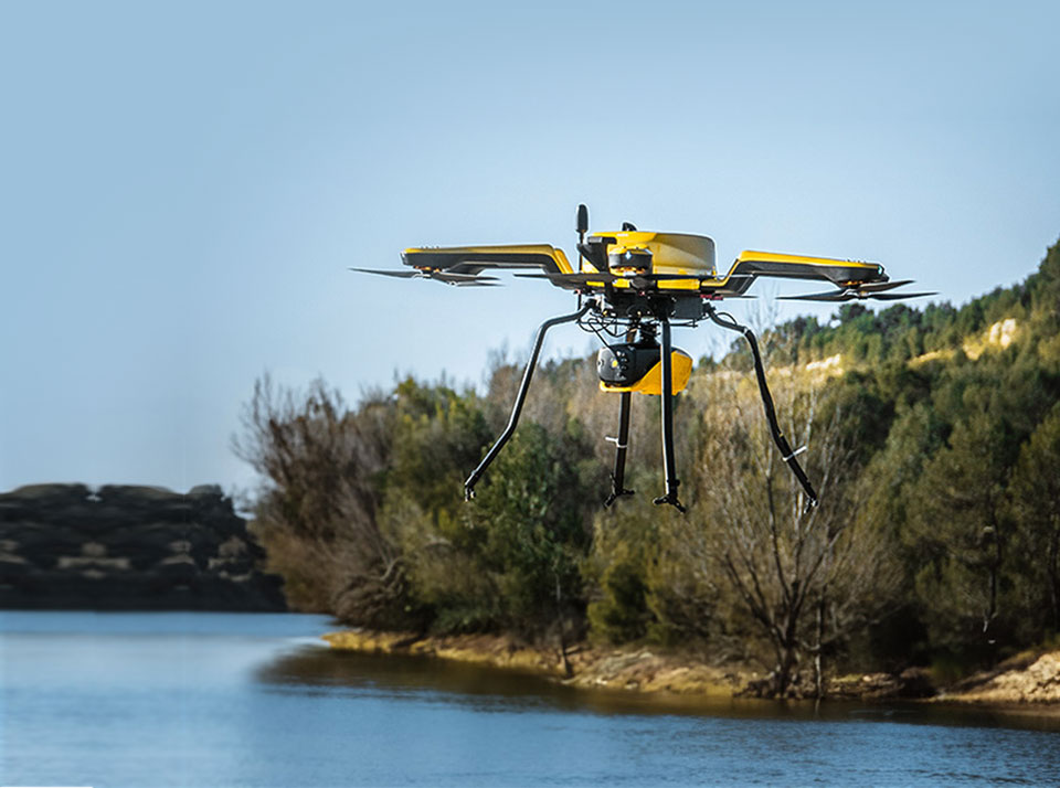
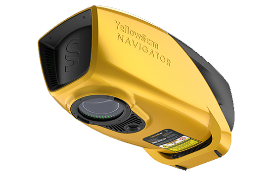
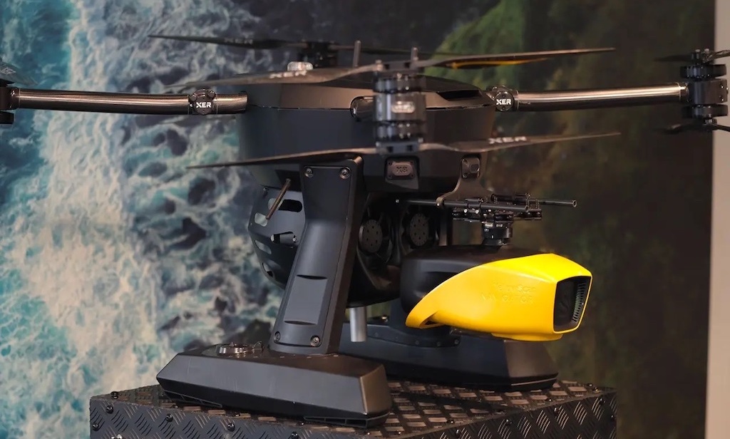
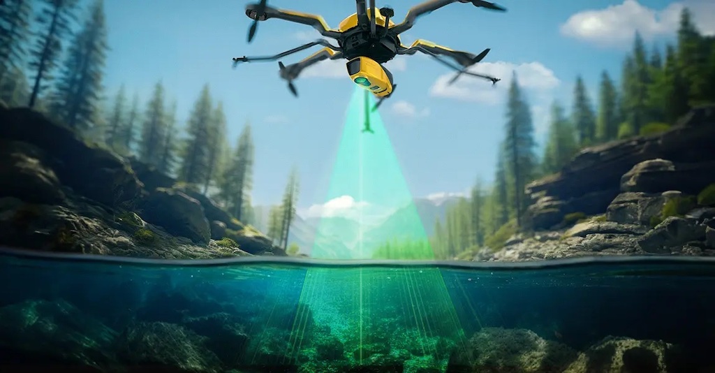
The YellowScan Navigator is engineered to capture both topographic and bathymetric data in a single pass, making it ideal for coastal studies, riverbed modeling, and hydrographic surveying. The system’s compact form factor and single-button operation make it highly efficient for deployment on UAV platforms in challenging aquatic environments.
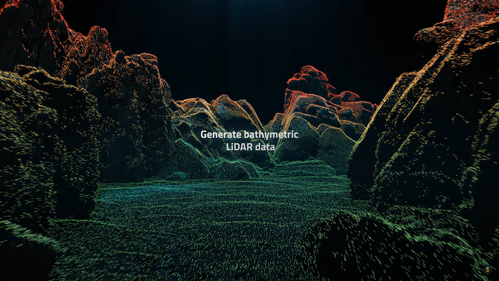
Attendees will also see YellowScan’s CloudStation software in action, which streamlines processing with features such as automated water classification and underwater point correction. These capabilities are crucial for generating accurate elevation models and waterway maps with minimal manual intervention.
The full-day event includes live data acquisition flights, real-time data processing demonstrations, and a presentation of YellowScan’s product lineup. Experts from the company will be available for in-depth discussions during a Q&A session.
YellowScan specializes in UAV LiDAR systems tailored for demanding environmental and geospatial missions. Its solutions are increasingly used in hydrology, marine infrastructure inspection, and coastal zone monitoring, where rapid and precise data collection is essential.
This event offers ocean science professionals a chance to experience the capabilities of topo bathymetric LiDAR technology that bridges the gap between terrestrial and aquatic mapping.