YellowScan develops and manufactures impressive bathymetric LiDAR scanning solutions designed for marine and maritime applications, in particular 3D mapping and surveying. Read more >>
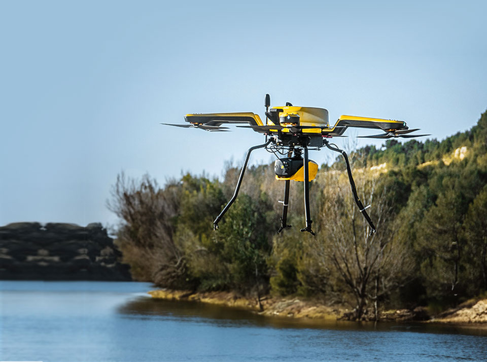
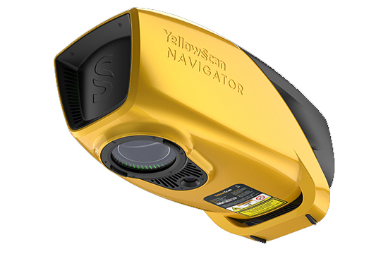
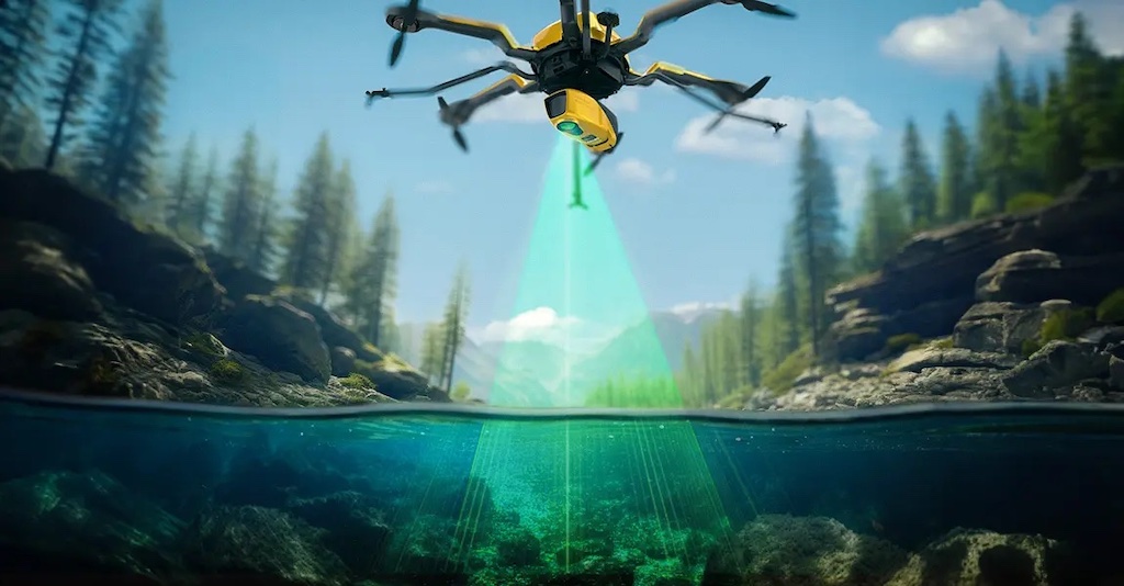
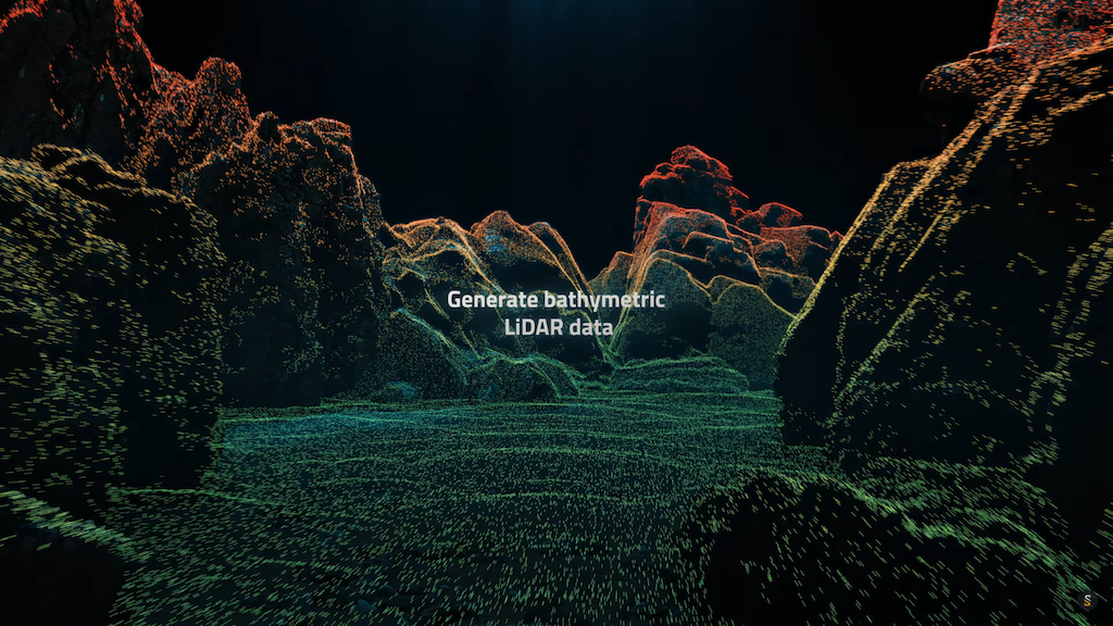
The company’s unique bathymetric LiDAR solution, Navigator, provides high-precision, continuous measurement of water environments such as rivers, lakes, coasts, and open water, as well as the surrounding terrain.
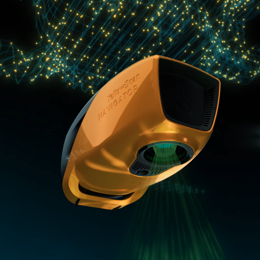
YellowScan Navigator is lightweight and compact, with the ability to be installed on a variety of aerial platforms without compromising water penetration. Capable of penetrating down to 2 Secchi depths, it is ideal for characterizing a wide range of environments including shorelines, rivers, lakes, estuaries, ponds and gravel pits.
The system also uses a proprietary green laser with a field of view selected for maximum underwater performance, coupled with an integrated global shutter RGB camera for full colorization.
As well as the easy integration and impressive efficiency that comes with Navigator, YellowScan offers full calibration and support, including a two-day training course and unlimited tech support for a year.
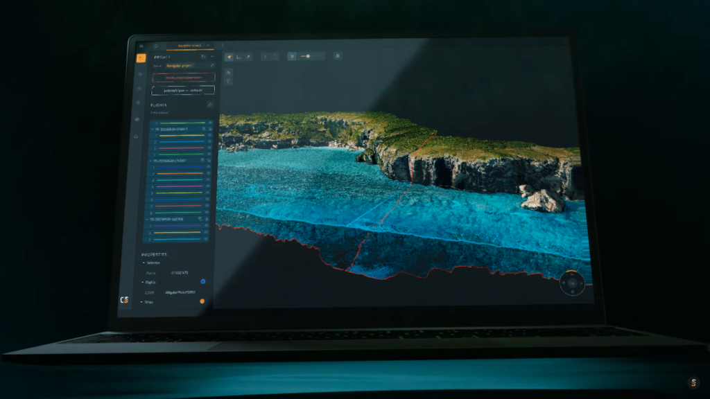
The company’s CloudStation software is a processing suite, designed to enhance bathymetric surveys with full generation and visualization of LiDAR point clouds, among other helpful features including, but not limited to, underwater point correction and automated water surface detection.
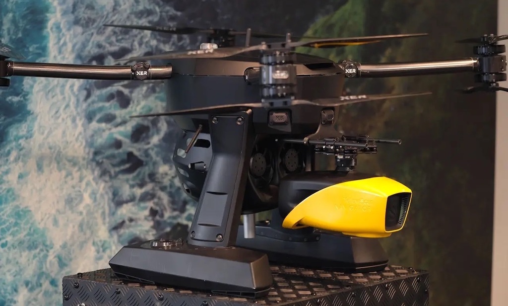
YellowScan is constantly forming new partnerships and developing new technology, but since its launch in January of this year, the company’s Navigator has been integrated into Xer Technologies’ heavy-payload drones for long-range bathymetric inspections.
The Navigator can be used in a range of maritime applications, excelling in areas where water meets land, such as:
- River & Lake Analysis
- Coastal Oceanography
- Underwater Infrastructure Inspection
- Marine Archaeology
- Marine Construction & Dredging
This versatile, robust, and unique piece of technology sets the company’s innovations apart from other bathymetric LiDAR solutions, allowing users to simultaneously carry out underwater and ground topography.
Visit the company’s supplier profile, or find out more on the YellowScan website.