SubC Imaging outlines how metadata adds context to subsea imagery by recording information such as time, depth, position, environmental conditions, and camera settings alongside images and video.
This information can support accurate analysis, repeatable observations, and traceability across subsea inspection, research, and defense applications.
Underwater imaging metadata can include GPS coordinates, heading, depth and altitude, precise timestamps, frame rates and capture intervals. Environmental information may cover water temperature, salinity, turbidity, and other sensor inputs, while system data can include exposure, focus, gain, bitrate, and camera mode.
Modern underwater cameras can embed this information within image or video files using standardized formats such as Exchangeable Image File Format (EXIF). Keeping details including time, position, and camera settings within the file reduces reliance on manual records and helps preserve context when imagery is transferred or processed.
Improving Repeatability and Analysis
Positional and temporal metadata allows operators to return to the same weld or structure for subsequent integrity inspections, while researchers can revisit individual habitats or seafloor features. New imagery can also be aligned with previous datasets to support change detection and documentation over time.
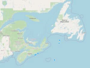
Using metadata, you can create a map of ROV dive locations.
Metadata can be cross-referenced with complementary information from sonar, LiDAR, and mapping systems. Synchronized timestamps and positional data also help software align imagery for photogrammetry, 3D reconstruction, and machine learning workflows, including the creation of 3D models and maps of subsea assets or environments.
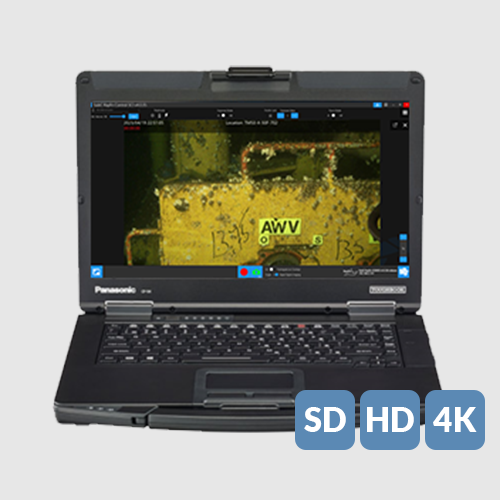
For data management, files can be organized and searched according to details such as dive number, date, or location. Metadata overlays can also display time, depth, or heading during playback, allowing footage to be interpreted without relying on separate logs.
Supporting Data Integrity and Traceability
When underwater imagery is used for inspection reports, environmental submissions, scientific archives, or defense documentation, metadata provides information needed to verify and trace the material.
Embedding timestamps, positional information, and device identifiers within files can establish a verifiable chain of custody for imagery. It can also help align visual evidence with dive logs and operational records, maintain comparable scientific datasets over time, and validate the source and authenticity of imagery used in defense applications.
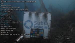
Underwater image captured by a SubC Rayfin camera showing a calibration target and on-screen metadata including GPS coordinates, time, and camera settings.
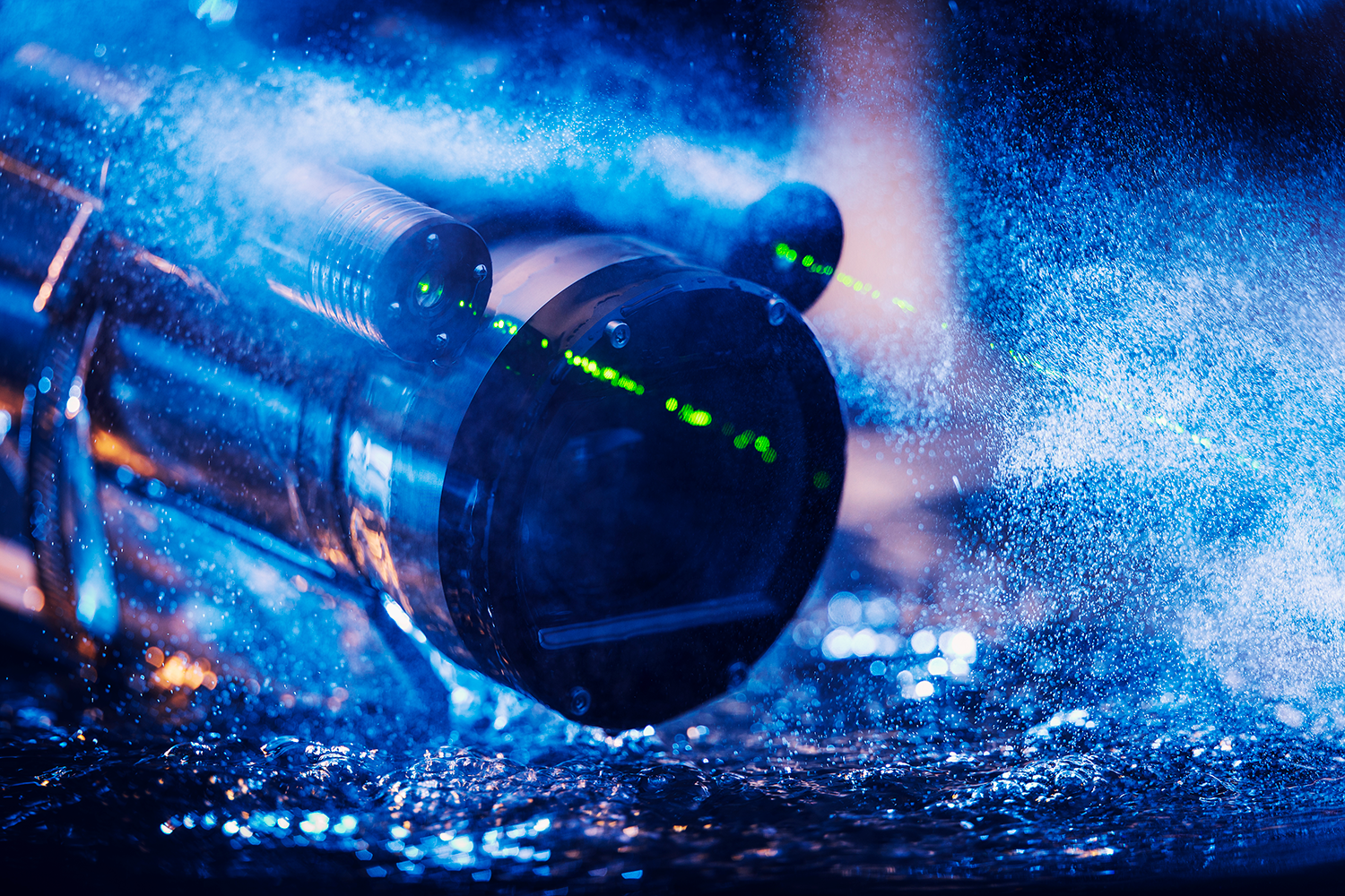
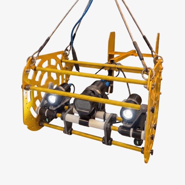
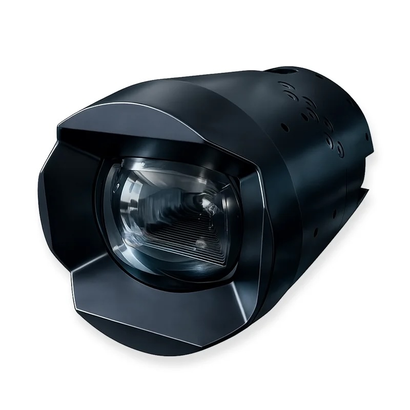
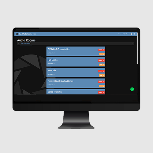
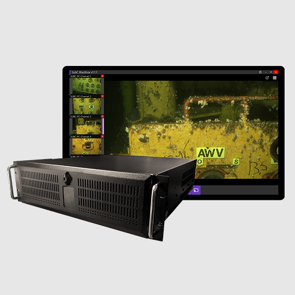
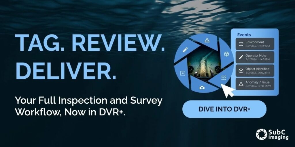
SubC Imaging’s Rayfin cameras and DVR+ Overlay system can synchronize video, audio, positional information, and environmental inputs. This supports real-time streaming and remote operations with synchronized metadata, automated event tagging for subsequent review, and cloud-based management of metadata-rich imagery for ongoing analysis and AI-assisted insights.
By maintaining the connection between underwater imagery and the circumstances in which it was captured, metadata supports data integrity, repeatability, and the long-term value of subsea observations.