Seismic & Geophysical Survey

Seismic and geophysical survey systems provide critical subsurface insight for marine science, offshore development, and seabed characterization, supporting accurate mapping of geological layers and structural features. These tools cover a broad range of capabilities, from sub bottom imaging and profiling to advanced geospatial processing and autonomous data collection.

This category features suppliers of acoustic imaging systems, geodetic and GIS software, sub bottom profiling equipment, and autonomous survey platforms designed to deliver reliable data for complex marine and offshore operations.

Suppliers

Add your company
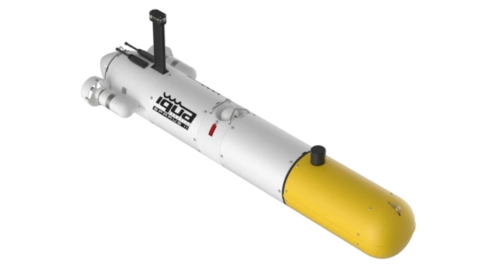
IQUA Robotics

Next-generation autonomous underwater vehicles for inspection and reconnaissance
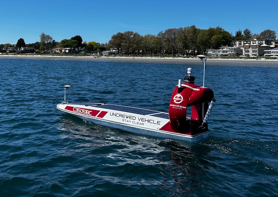
Open Ocean Robotics

Reliable Solar-Powered USVs for Real-Time Oceanographic & Maritime Data Acquisition
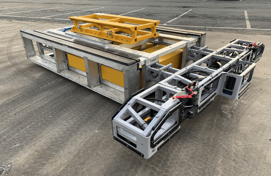
Kraken Robotics

Industry-Leading Underwater Imaging and Power Solutions for Demanding Professional Survey Applications
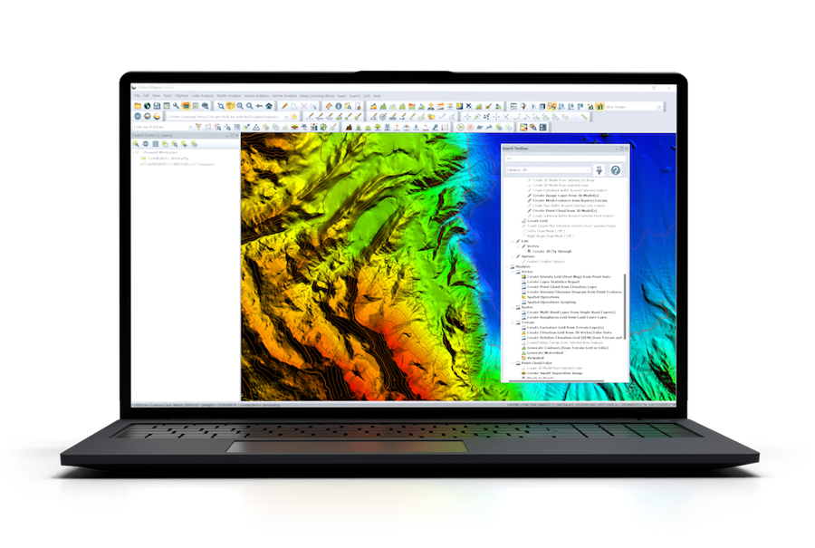
Blue Marble Geographics

Powerful Geospatial Software Solutions for Marine, Coastal and Offshore Mapping & Surveying
Applied Acoustics

Innovative Subsea & Marine Navigation, Positioning & Survey Solutions

Showcase your capabilities

If you design, build or supply Seismic & Geophysical Survey, create a profile to showcase your capabilities on this page

Create Supplier Profile

Products

SPARUS II

Small hovering AUV for high-accuracy mapping, surveying & inspection

Small hovering AUV for high-accuracy mapping, surveying & inspection
IQUA Robotics' SPARUS II is a compact AUV platform that is ideal for a variety of scientific, indust...
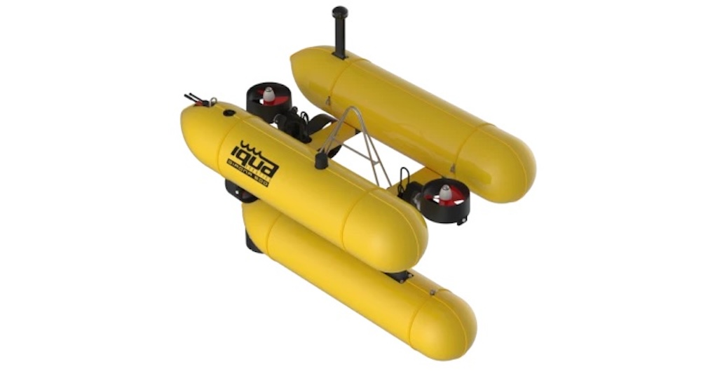
GIRONA 500

Medium-sized hovering AUV for complex payload deployment

Medium-sized hovering AUV for complex payload deployment
GIRONA 500 is a flexible high-stability AUV platform designed for the most challenging and complex m...
DataXplorer™ Survey

Solar-powered USV for high-resolution spatial data acquisition

Solar-powered USV for high-resolution spatial data acquisition
DataXplorer™ Survey is a solar-powered, zero-emissions uncrewed vessel that has been purpose-built...
Sub-Bottom Imaging Services

Advanced acoustic technology providing highly accurate 3D data collection for subsea applications

Advanced acoustic technology providing highly accurate 3D data collection for subsea applications
Our Sub-Bottom Imager (SBI) uses state-of-the-art beamforming SAS arrays to image up to 5 meters ben...
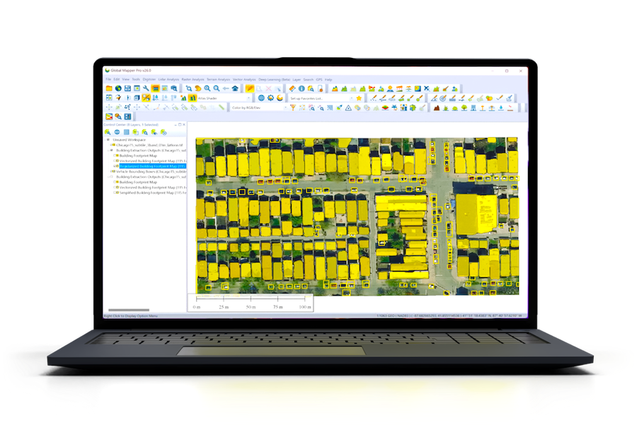
Global Mapper

GIS & data analysis software for marine mapping & bathymetric survey

GIS & data analysis software for marine mapping & bathymetric survey
Global Mapper is an industry-leading geospatial software suite designed for a wide variety of marine...
Global Mapper Pro

Enhanced 2D & 3D data processing & analysis

Enhanced 2D & 3D data processing & analysis
...nd bathymetric survey. These advanced features perfectly complement and extends the software’s...
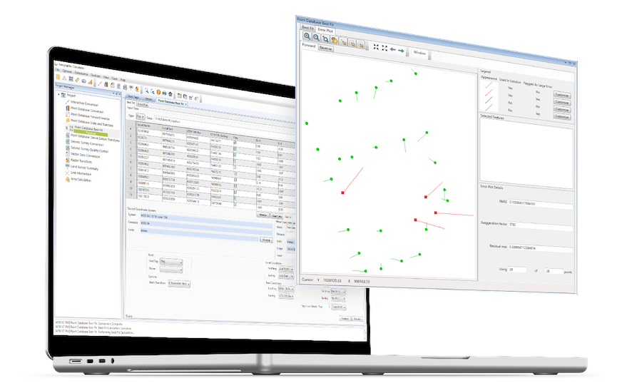
Geographic Calculator

Geodetic software for marine surveying data

Geodetic software for marine surveying data
...... surveying applications such as construction, offshore energy, and coastal and seismic...
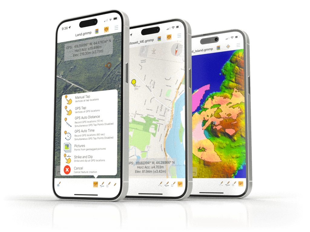
Global Mapper Mobile

Advanced Mobile GIS Application for Oceanic and Coastal Fieldwork

Advanced Mobile GIS Application for Oceanic and Coastal Fieldwork
Global Mapper Mobile is a cutting-edge iOS and Android application designed to support the seamless ...
Sub-Bottom Profiling Systems

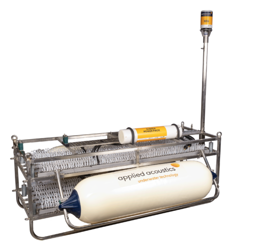
Seafloor surveying tools and accessories

Seafloor surveying tools and accessories
...ng systems use seismic energy sources and hydrophones to create a 2D picture of the geology beneath...

Related Articles

Strategic Partnership to Deliver High-Resolution Deep-Sea Seafloor Intelligence & Insights

PlanBlue and Orpheus Ocean have collaborated to integrate advanced AI-driven imaging with autonomous underwater vehicles, enabling enhanced monitoring and analysis of critical deep-sea environments

Nov 17, 2025
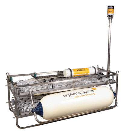
Exploring Applied Acoustics’ Sub-Bottom Profiling Systems

Applied Acoustics' sub-bottom profiling systems offer advanced solutions for detailed seabed imaging, combining cutting-edge technology and flexible designs to support diverse marine surveying applications

Nov 10, 2025
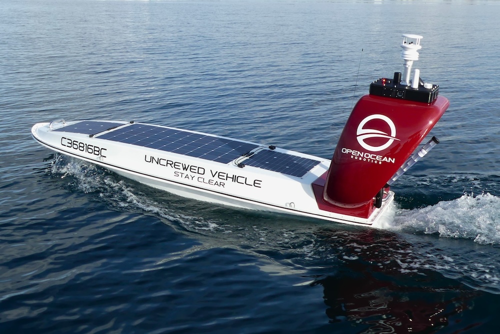
Profile Spotlight: Open Ocean Robotics for Autonomous Marine Data Collection

Open Ocean Robotics is presenting its solar-powered USVs on OST, providing reliable, zero-emission platforms for real-time oceanographic and maritime data acquisition across commercial, defense, and scientific applications

Nov 03, 2025
GIS Software Update Enhancing Geospatial Workflows & Visualization Tools

Blue Marble Geographics has introduced Global Mapper v26.2, an updated version of its GIS software that brings usability improvements, new visualization tools, and expanded LiDAR and file format support

Oct 27, 2025
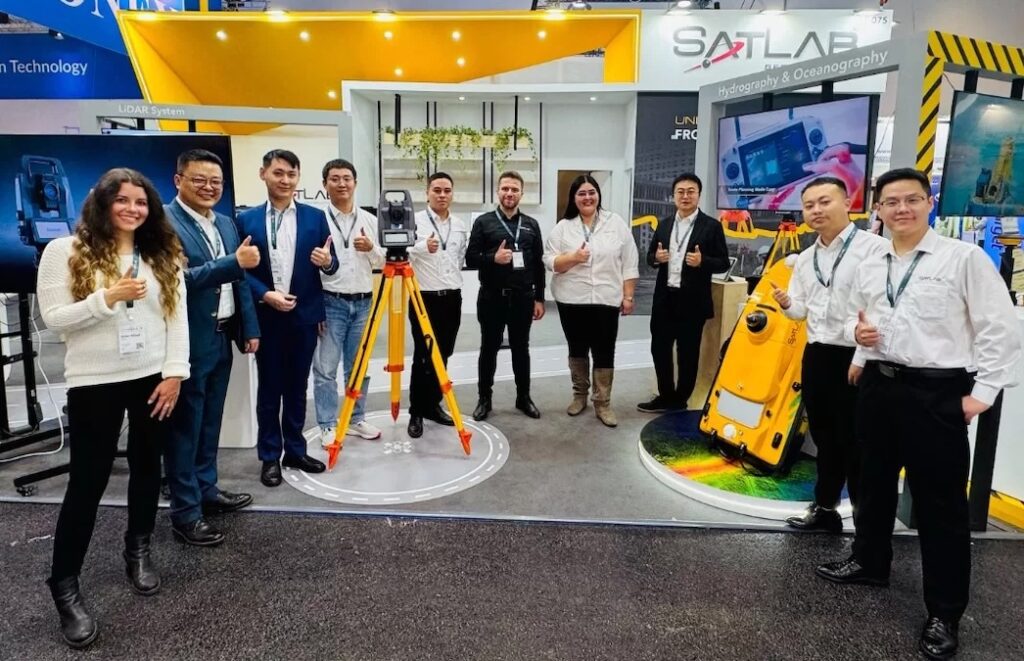
SatLab Presented End-to-End Geospatial Technologies at INTERGEO 2025

SatLab Geosolutions showcased its complete geospatial solutions, including integrated surveying, LiDAR, hydrographic, and machine control technologies, at INTERGEO 2025 in Frankfurt, demonstrating end-to-end workflows for land, air, and water

Oct 23, 2025
Coastal Ecosystem Monitoring & Mapping with GIS Technologies

Blue Marble Geographics highlights research using GIS technologies, specifically the Global Mapper Pro®, to map and monitor eelgrass and aquatic vegetation in Casco Bay, Maine, supporting coastal ecosystem conservation

Oct 07, 2025
Teledyne Introduces eXtreamer for High-Resolution Marine Seismic Surveys

Teledyne Geophysical Instruments, a Teledyne Marine brand, has introduced eXtreamer, a small form factor streamer built for ultra-high-resolution marine seismic surveys

Sep 18, 2025
Applied Acoustics Broadens Deployment Options for Pyxis INS + USBL Systems

Applied Acoustics has added its Pyxis INS + USBL systems to STR’s rental fleet, expanding global access to advanced subsea positioning technology

Sep 18, 2025
Applied Acoustics Survey Equipment Enables Ultra High-Resolution Seabed Mapping

T.T. Surveys employs Applied Acoustics’ seismic survey technologies to deliver ultra high-resolution seabed data, supporting offshore engineering, UXO clearance, and renewable energy projects

Sep 09, 2025