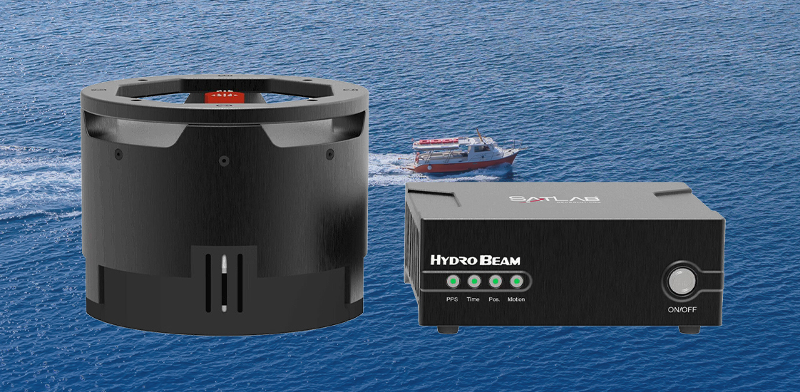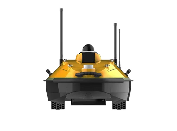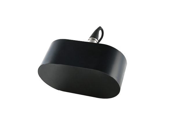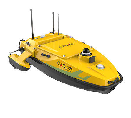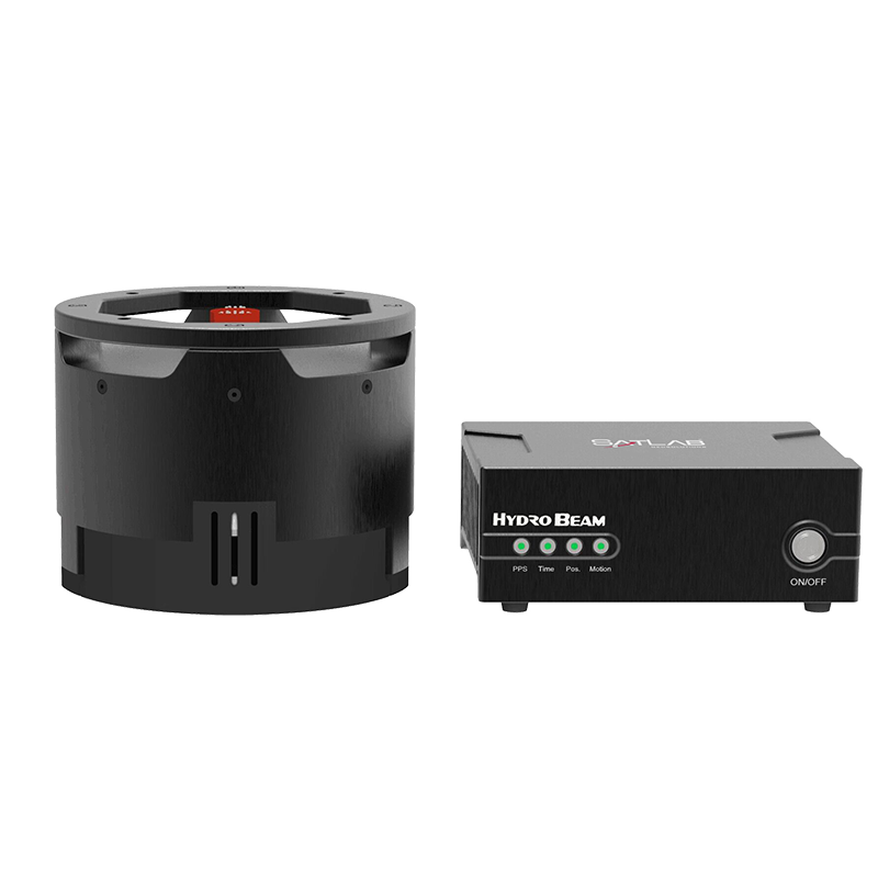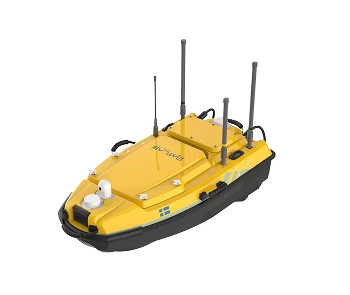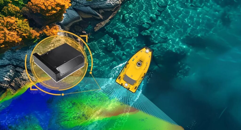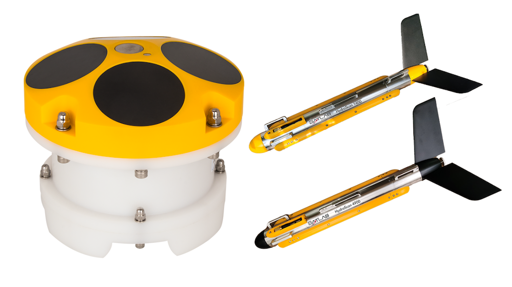




SatLab Geosolutions details the deployment of the HydroBoat 1200 Unmanned Surface Vehicle (USV) with the HydroBeam M2 multibeam echosounder for land reclamation progress monitoring in an undisclosed country in 2026. Read more >>
The system was used to survey seabed topography for land reclamation progress monitoring, with the overall project covering more than 5,000 hectares and the training and test area exceeding 12 hectares.
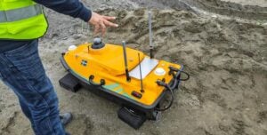
The project required high-precision multibeam surveying in shallow water, with the shallowest depth below 0.5 m, where traditional manned vessel-based multibeam operations are extremely limited. Additional challenges included overland transportation between survey areas, rapid deployment without complex disassembly, and the need for an efficient, repeatable survey workflow that minimized field equipment.
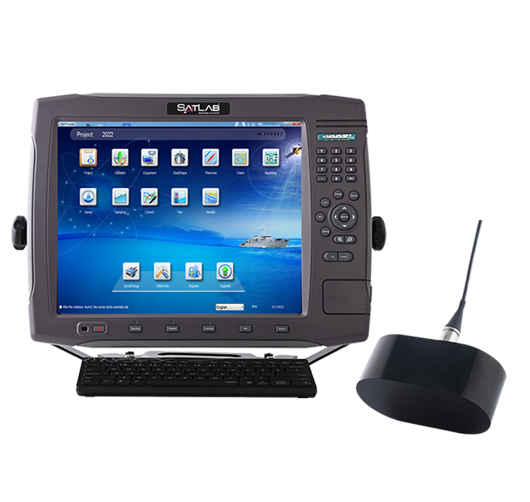
The HydroBoat 1200, which can perform multibeam surveys in water depths of approximately 0.2–200 m, was deployed with the HydroBeam M2 and SLHydro USV software. Using an Android controller, operators could connect to the USV, create projects, configure the differential, acquire data, and view survey data in real time without a laptop.

The integrated system took approximately five minutes to set up and commission. Its Auto-SPIN function replaces the need for an SVP, while Auto-Survey automatically plans intermediate survey lines based on the required overlap rate after the start and end lines are selected. Two survey areas were tested during the training day, with no acquisition issues reported.
Data stored onboard the USV could be copied to a working computer via an external hard drive for review. The system directly outputs XYZ point cloud data, which can undergo noise removal using SLHydroBeam Processing software before conversion into formats such as .xyz and .las.
The resulting survey data met IHO Special Order accuracy requirements and was consistent with the client’s previously acquired multibeam data. The project passed acceptance, with the client also providing positive feedback on data quality, operational efficiency, ease of learning, and suitability for the project.
Read ‘Multibeam Survey for Land Reclamation Progress Monitoring’ for more information.