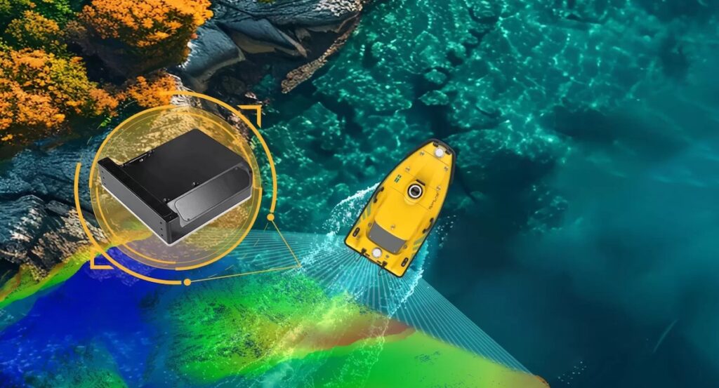

SatLab Geosolutions’ HydroBeam M4 multibeam echosounder was deployed to support a hydropower canyon survey characterized by steep, near-vertical terrain.
Purpose-built for high-precision hydrographic measurement in complex underwater environments, the system enabled accurate, high-resolution bathymetric mapping in areas where conventional survey methods often fail to deliver complete or consistent data.
Project Background
A narrow river flows through a steep-sided canyon where depths range from shallow one-meter sections to deep pools approaching twenty meters. Reliable bathymetric data are essential for hydropower operations, where terrain awareness is critical to both efficiency and safety. Traditional sonar systems often struggle to capture accurate data along near-vertical walls, resulting in incomplete models and uncertainty in downstream analysis.
Challenges Beneath the Surface
Figure 2: Vertical Rock Walls on Both Sides of the River Channel
Surveying this environment presented several challenges:
- Limited channel width: Some sections measured less than 20 meters across, restricting vessel maneuverability.
- Vertical slopes: Near-vertical walls caused beam deflection and variable acoustic reflections.
- Depth variability: Rapid transitions between shallow and deep water complicated uniform data capture.
- Acoustic interference: Multiple reflections between the canyon walls, riverbed, and surface produced additional signal noise.
Deploying the Solution
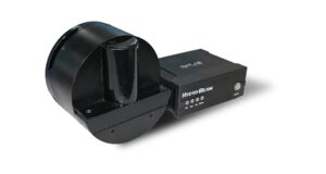
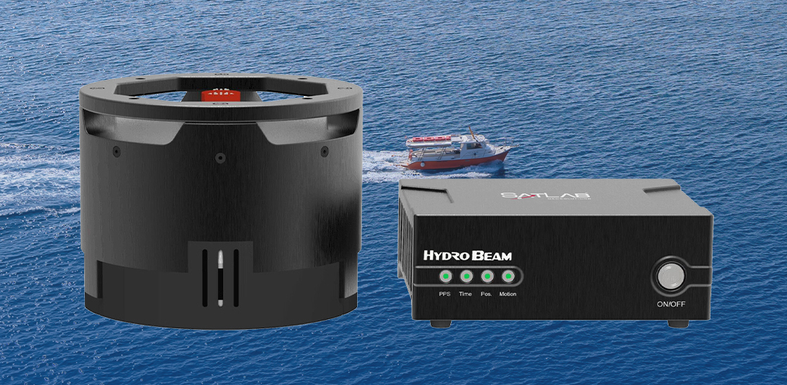
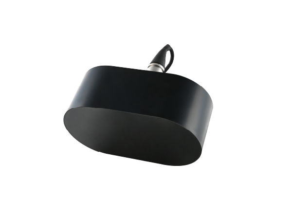
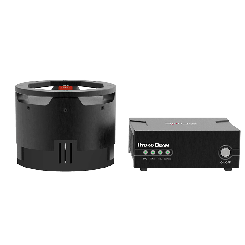
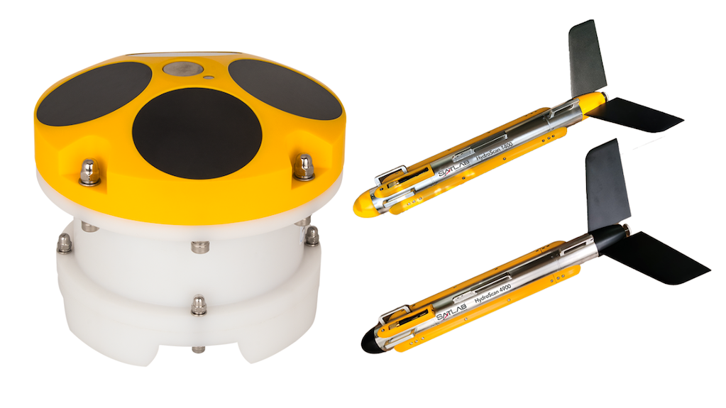
Figure 3: HydroBeam M4 Multibeam Echosounder
To address these conditions, the project team selected SatLab Geosolutions’ HydroBeam M4 multibeam echosounder. The system is designed to deliver precise measurements in steep and confined underwater environments through a combination of wide coverage, high beam density, and motion-compensated positioning.
Key features included:
- 150° swath coverage enabling extended side-wall mapping
- 1024 beams producing dense, high-resolution bathymetric point clouds
- A Vertical Terrain Algorithm that maintains measurement stability on steep slopes and vertical faces
- Integrated GNSS, IMU, and SVS supporting accurate positioning and simplified installation
Data Acquisition Workflow
- Survey Line Planning:Parallel survey lines were defined with a minimum 30% overlap to ensure full coverage. Calibration measurements were collected at representative terrain points.
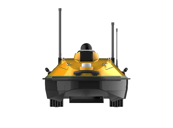
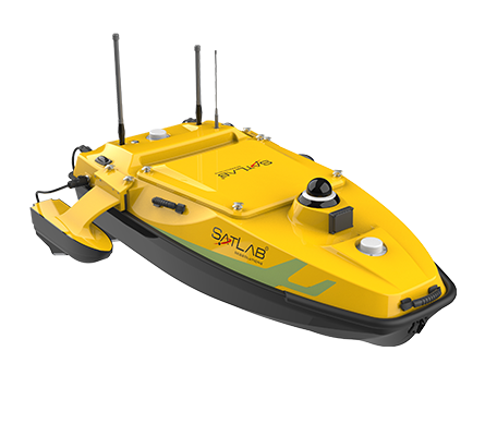
- Field Survey: A small manned survey vessel was fitted with the HydroBeam M4. Sound velocity profiles were measured in multiple locations to correct for local variations in propagation.
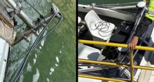
Figure 4: HydroBeam M4 Installed on Small Manned Survey Vessel
- Real-Time Acquisition: HydroBeam Monitor software automatically optimized system parameters throughout the survey. SLHydro Survey software simultaneously captured and displayed real-time bathymetric data for immediate validation.
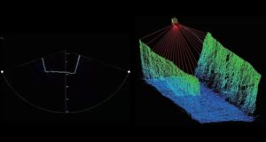
Figure 5: Real-Time Data Visualization
Data Processing
Processing was completed using SLHydro Survey software.
- Integration: GNSS, IMU, and multibeam data were merged using calibration parameters.
- Noise reduction: Erroneous or unstable depth points were filtered from the dataset.
- Output: The final deliverables included high-resolution 3D point clouds, bathymetric contour maps, and cross-sectional profiles suitable for engineering and operational analysis.
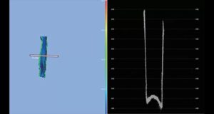
Figure 6: Post-Processing of Survey Data
Deliverables
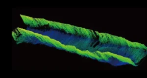
Figure 7: 3D Underwater Point Cloud Visualization
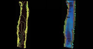
Figure 8: Bathymetric Contour Map
The HydroBeam M4 provided complete bathymetric coverage across the canyon environment, producing consistent and detailed data suitable for hydropower infrastructure assessment. The system demonstrated its capability to maintain precision on vertical and irregular surfaces while operating within confined channels.
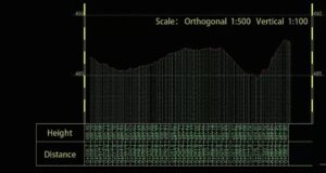
Figure 9: River Cross-Section Profile
Project Outcome
The HydroBeam M4 multibeam echosounder enabled efficient and accurate bathymetric mapping in a challenging vertical canyon setting. Through a combination of wide-angle coverage, dense data capture, and integrated motion compensation, SatLab Geosolutions’ solution delivered dependable underwater mapping results that support safe and informed hydropower operations.