Oceanbotics | 3 ROVs 1 Unified Platform
SAE Media | Maritime Reconnaissance
Leading Suppliers in Denmark

Hydrographic Survey Suppliers in Denmark

Discover Denmark-based suppliers of Hydrographic Survey

Suppliers: Hydrographic Survey

1 Leading Supplier
Grid List
Filtered by:
Teledyne Marine
Teledyne Marine
Denmark (6 locations)

High-Performance Instruments, Sensors & Technologies for Exploring & Monitoring Subsea Environments

Browse suppliers by country
Showcase your capabilities

If you design, build or supply Hydrographic Survey, create a profile to showcase your capabilities and connect with visitors who have an active requirement for your solutions.
Create Supplier Profile

Products

1 Cutting-edge Solution
Add your solutions
PDS Hydrographic Software

Hydrographic software for survey and dredging operations

Hydrographic software for survey and dredging operations
...edyne PDS is a hydrographic software package designed for survey and dredging operations, providing... ...e PDS supports marine survey workflows including seabed mapping, dredging operations, construction...

Related Articles

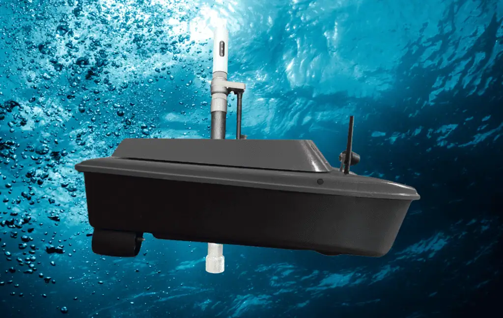
New Portable Bathymetric Survey Pole Supports USV Hydrographic Surveying

AGISTAR has introduced the GEOSTIX, a portable bathymetric survey pole combining GNSS positioning, sonar compatibility and real-time data communications for manual and USV-based hydrographic surveying

Sep 01, 2026
SubC Imaging Updates DVR+ Software for Subsea Inspection Workflows

SubC Imaging has released new DVR+ software features that enable live event tagging, post-dive review, and structured export of subsea survey and inspection data

May 11, 2026
Compact Autonomous Robot & Advanced Sensors Map Arctic Seafloor

Engineers from MBARI’s CoMPAS Lab successfully deployed the portable MOLA AUV beneath two meters of Arctic sea ice to conduct high-resolution mapping surveys in demanding conditions

Apr 30, 2026
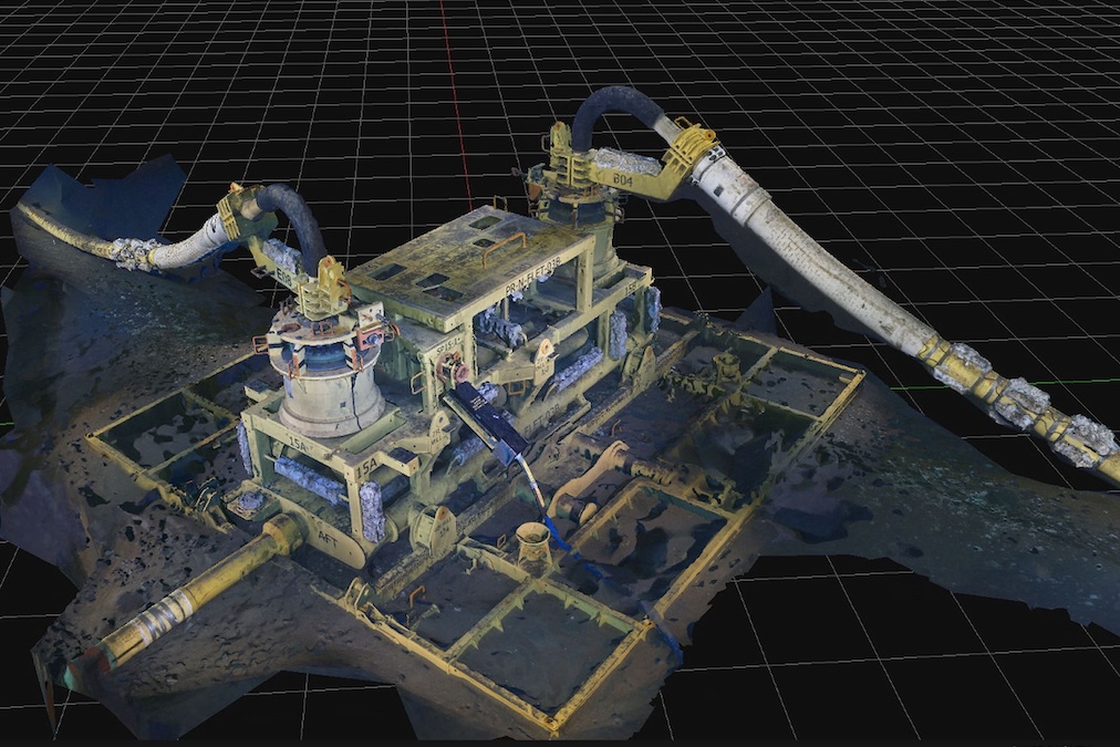
Simultaneous Subsea Inspection & 3D Scanning Performed at Sangomar Field

DeepOcean and Woodside Energy have completed a simultaneous subsea inspection and 3D scanning campaign across 69 structures at the Sangomar Field offshore Senegal, reducing offshore time while increasing data output

Apr 22, 2026
UK Scientists Launch Seabed Mapping Survey & Environmental Research Initiative

A four-week seabed mapping survey will deploy cutting-edge technology to explore the south-west coastline to support offshore energy and marine ecosystem science

Apr 21, 2026
applied acoustics Outlines Offshore Energy Survey Technologies

applied acoustics presents its range of subsea and marine survey, navigation and positioning technologies for hydrographic and geophysical applications supporting offshore energy development

Apr 08, 2026
Teledyne Marine Delivers First Four GAVIA AUVs to Swedish Defense

Teledyne Marine has delivered the first four GAVIA AUV systems to Sweden under a multi-year agreement, enhancing underwater surveillance, mine countermeasures, seabed mapping and intelligence capabilities for the Swedish Armed Forces

Feb 23, 2026
Deep Water Testing of Impact Subsea’s ISA200 Altimeter & Echosounder at Loch Ness

Impact Subsea discusses the deep-water field testing of its ISA200 Altimeter and Echosounder at Loch Ness, Scotland, demonstrating strong and continuous return signals, clear echogram data, and stable altitude measurements during dynamic operation

Jan 12, 2026
University of Plymouth Joins Seabed 2030 to Map the Global Ocean Floor

The University of Plymouth has partnered with the Seabed 2030 initiative, contributing data, expertise, and innovation to accelerate global ocean floor mapping efforts

Jan 09, 2026

THE WEEKLY eBRIEF

The latest offshore, subsea & marine technology news, straight to your inbox.

Get our weekly roundup of technology developments, new products and industry news.

By subscribing, you agree to receive the weekly OST eBrief newsletter from EchoBlue Ltd. Unsubscribe at any time using the link in every email. See our Privacy Notice.