Oceanbotics | 3 ROVs 1 Unified Platform
SAE Media | Maritime Reconnaissance
Leading Suppliers in United States of America

Geospatial Technology Suppliers in United States of America

Discover United States of America-based suppliers of Geospatial Technology

Suppliers: Geospatial Technology

1 Leading Supplier
Grid List
Filtered by:
Blue Marble Geographics
USA

Powerful Geospatial Software Solutions for Marine, Coastal and Offshore Mapping & Surveying

Browse suppliers by country
Showcase your capabilities

If you design, build or supply Geospatial Technology, create a profile to showcase your capabilities and connect with visitors who have an active requirement for your solutions.

Create Supplier Profile

Related Articles

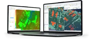
Blue Marble Geographics Launches Global Mapper 27 with Integrated Geodetic Capabilities

Blue Marble Geographics has introduced Global Mapper 27, embedding its GeoCalc geodetic library within the platform and expanding capabilities for LiDAR validation, terrain modeling, and data interoperability

Apr 27, 2026
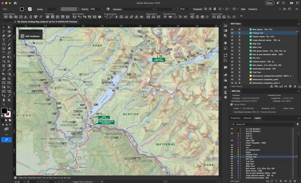
Blue Marble Geographics Unifies Avenza Capabilities Under Single Geospatial Platform

Blue Marble Geographics and Avenza Systems integrated toolchain connects spatial analysis, coordinate intelligence, and field data capture across demanding operational environments

Apr 13, 2026
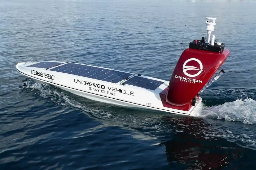
Profile Spotlight: Open Ocean Robotics for Autonomous Marine Data Collection

Open Ocean Robotics is presenting its solar-powered USVs on OST, providing reliable, zero-emission platforms for real-time oceanographic and maritime data acquisition across commercial, defense, and scientific applications

Dec 12, 2025
Blue Marble Geographics Discusses the Use of Satellite-Derived Bathymetry in Global Mapper®

Blue Marble Geographics details satellite-derived bathymetry integration in Global Mapper® for coastal and hydrographic mapping, featuring TCarta’s free global marine basemap and premium SDB datasets

Dec 11, 2025
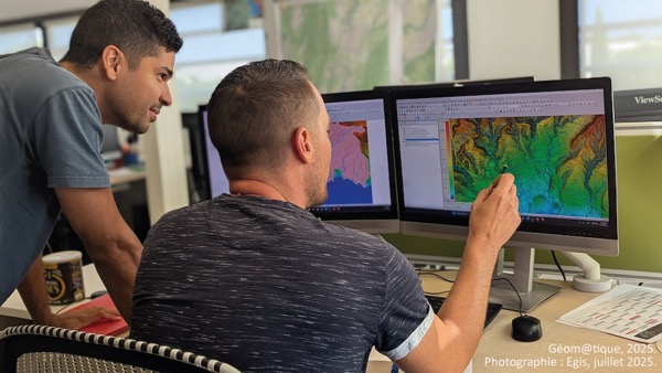
Precision Terrain Modeling & Hydrological Analysis with Global Mapper

Blue Marble Geographics’ Global Mapper enables Egis to streamline digital terrain modeling and hydrological analysis, enhancing data processing efficiency across large-scale environmental projects

Nov 20, 2025
Strategic Partnership to Deliver High-Resolution Deep-Sea Seafloor Intelligence & Insights

PlanBlue and Orpheus Ocean have collaborated to integrate advanced AI-driven imaging with autonomous underwater vehicles, enabling enhanced monitoring and analysis of critical deep-sea environments

Nov 17, 2025
GIS Software Update Enhancing Geospatial Workflows & Visualization Tools

Blue Marble Geographics has introduced Global Mapper v26.2, an updated version of its GIS software that brings usability improvements, new visualization tools, and expanded LiDAR and file format support

Oct 27, 2025
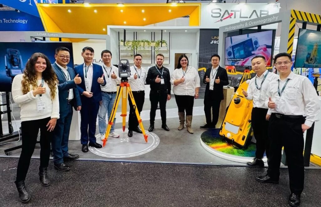
SatLab Presented End-to-End Geospatial Technologies at INTERGEO 2025

SatLab Geosolutions showcased its complete geospatial solutions, including integrated surveying, LiDAR, hydrographic, and machine control technologies, at INTERGEO 2025 in Frankfurt, demonstrating end-to-end workflows for land, air, and water

Oct 23, 2025
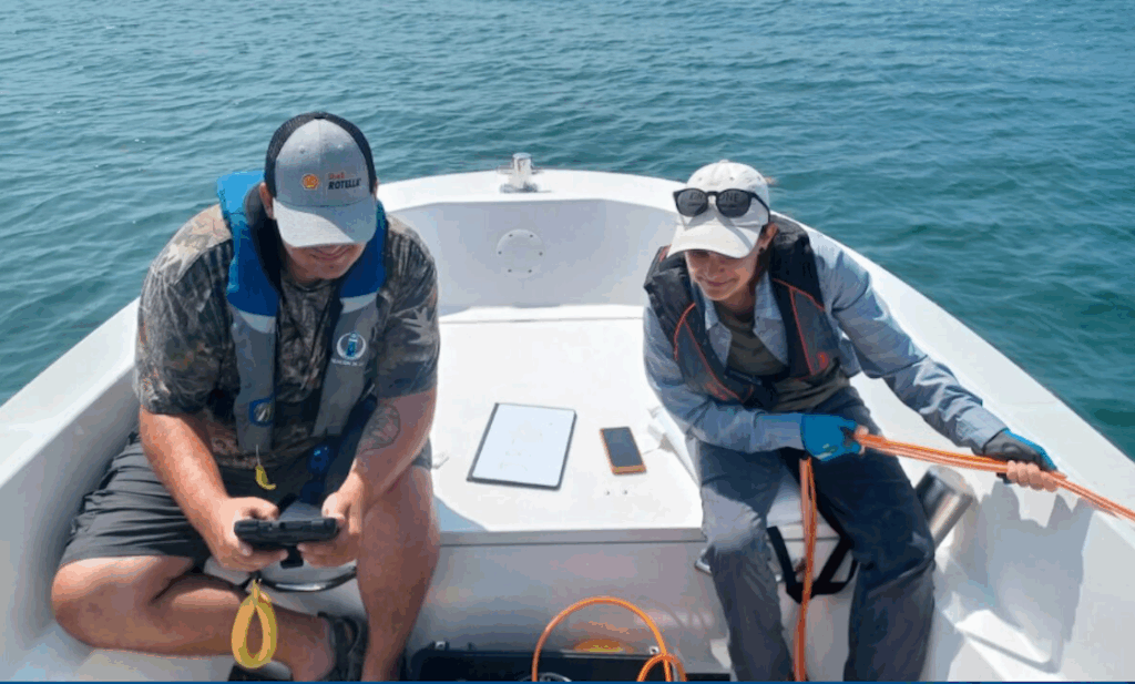
Coastal Ecosystem Monitoring & Mapping with GIS Technologies

Blue Marble Geographics highlights research using GIS technologies, specifically the Global Mapper Pro®, to map and monitor eelgrass and aquatic vegetation in Casco Bay, Maine, supporting coastal ecosystem conservation

Oct 07, 2025

THE WEEKLY eBRIEF

The latest offshore, subsea & marine technology news, straight to your inbox.

Get our weekly roundup of technology developments, new products and industry news.

By subscribing, you agree to receive the weekly OST eBrief newsletter from EchoBlue Ltd. Unsubscribe at any time using the link in every email. See our Privacy Notice.