
YellowScan has partnered with VisionAir Production AB to participate in the launch of the SeaDeep project, exploring how topo-bathymetric LiDAR can support the monitoring of sea farms and algae production sites.
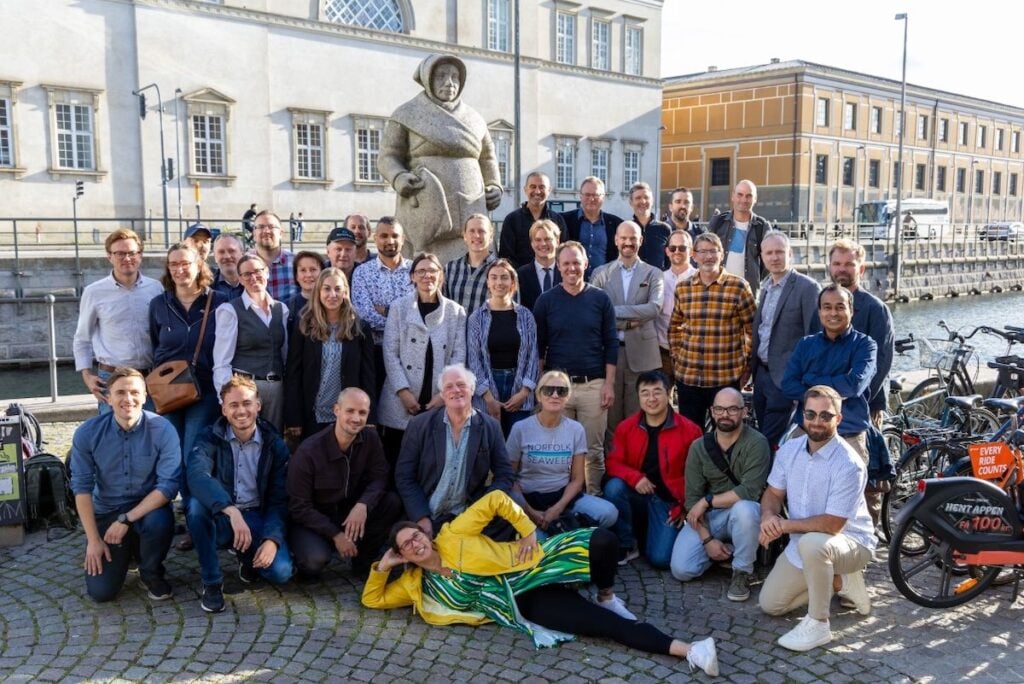
Running from 2026 to 2029, the SeaDeep initiative brings together 30 partners across 11 countries, including research institutes, technology developers, aquaculture companies, fisheries stakeholders, and industry networks. The project is coordinated by the IVL Swedish Environmental Research Institute and co-funded by the European Union to support collaborative innovation for a more sustainable blue economy. Its primary objective is to develop, test, and demonstrate innovative solutions directly within real production environments.
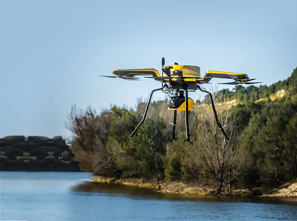
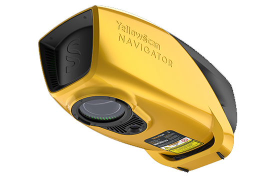
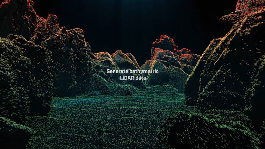
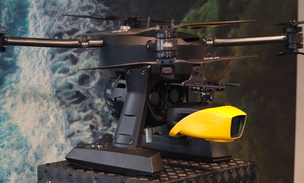
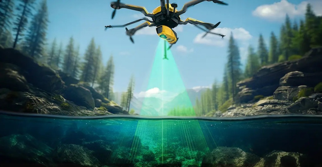
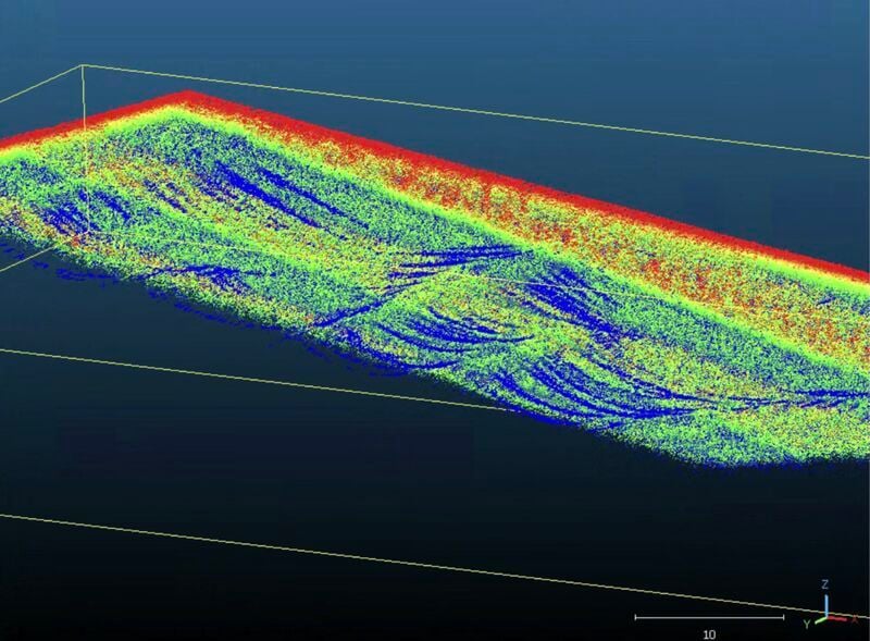
As part of the collaboration, the project is evaluating the Navigator topo-bathymetric LiDAR system to map coastal environments simultaneously above and below the water surface. This dual-surface data capture allows operators to create detailed 3D digital twins, providing critical insights into farm infrastructure integrity, seabed conditions, and broader environmental changes.
Highlighting the scope of the deployment, the team stated, “We look forward to contributing to this ambitious project and demonstrating how advanced geospatial technologies can support a more efficient and sustainable future for aquaculture.”