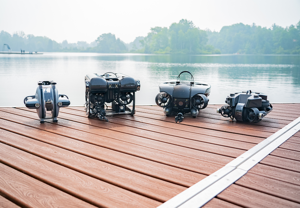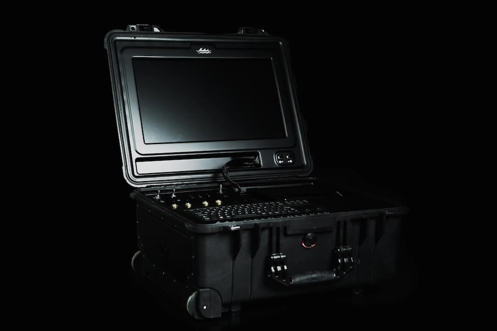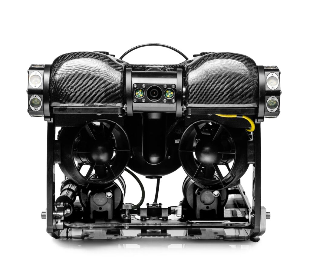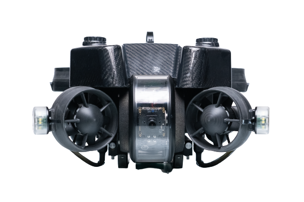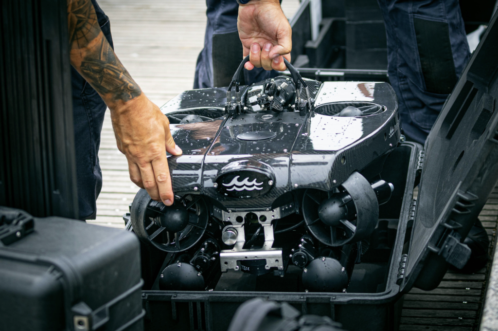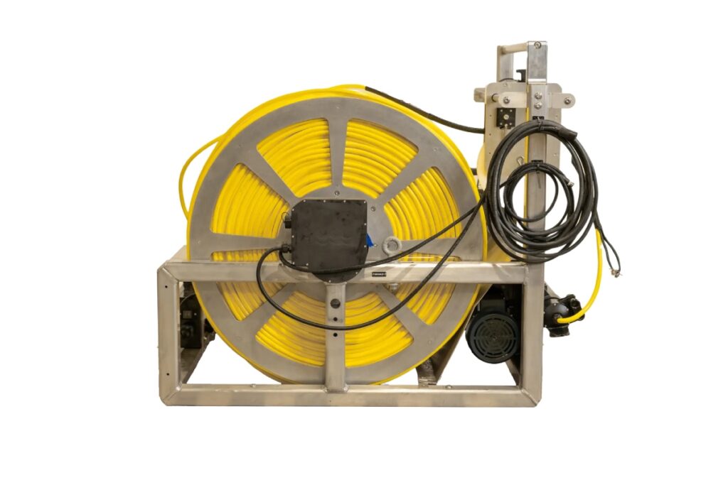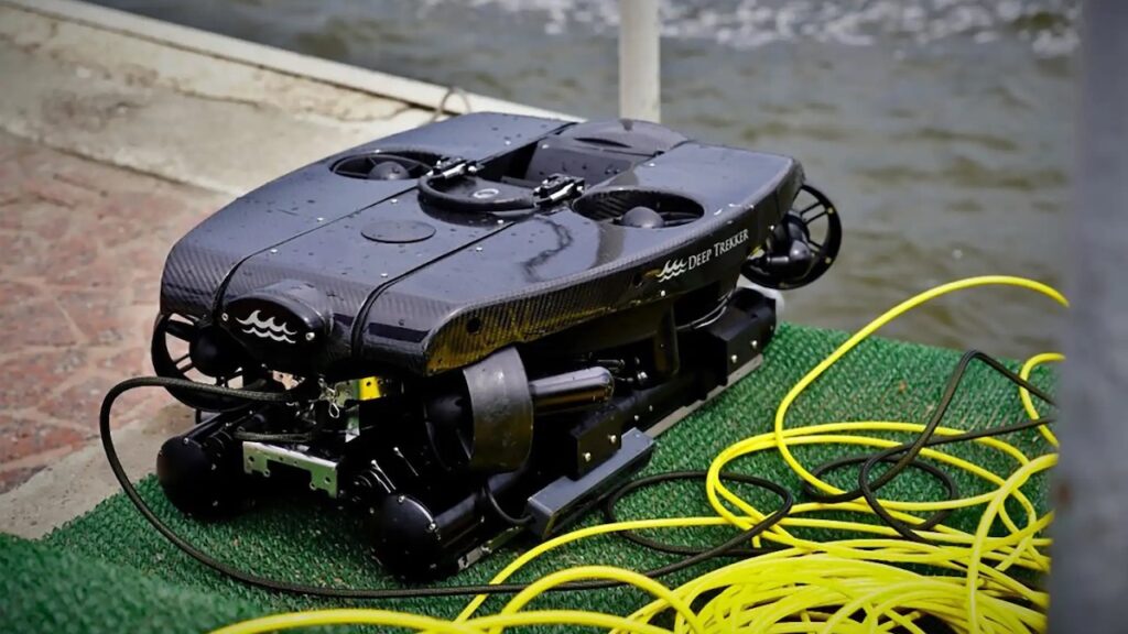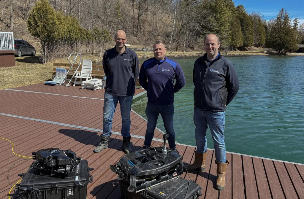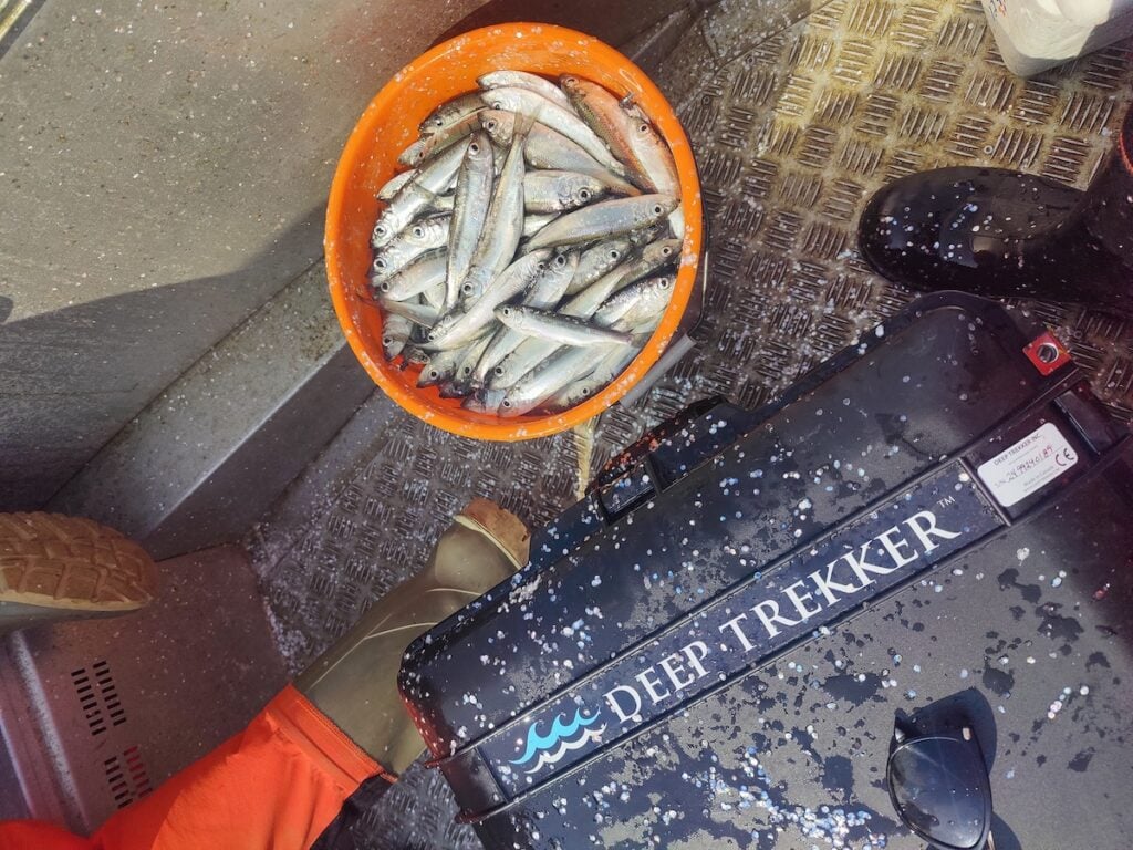
A biological record of Baltic herring reproduction spanning more than 40 years in Finland’s Archipelago Sea is being supplemented with renewed underwater observation, as the University of Turku’s Archipelago Research Institute (ARI) uses the PIVOT and PHOTON ROVs from Deep Trekker to survey spawning habitats, document environmental conditions, and observe fish behavior during established field operations. Read more >>
ARI operates two field stations, including an archipelago station located within a Baltic herring spawning area near Turku, Finland. Its Baltic Herring Project has collected long-term information on reproductive biology and spawning-habitat conditions since the early 1980s, creating one of Northern Europe’s longest-running datasets of its kind.
“Since the early 1980s, we have collected long-term data on spawning herring populations, especially in the northern Baltic Archipelago Sea near the city of Turku, Finland,” explained Senior Researcher and Baltic Herring project lead Katja Mäkinen. “We have two field stations, one in the archipelago and one in Lapland in northern Finland. Our archipelago station is located amidst this Baltic herring spawning area.”
For part of that period, underwater surveys relied on divers. Rising costs, operational logistics, and safety requirements eventually made that approach difficult to sustain. The research environment itself adds further challenges, with shallow spawning grounds exposed to waves and passing vessels, while eutrophication and river inflow can reduce underwater visibility.
The institute has now incorporated ROV surveys into the small-boat fieldwork it already conducts during the herring spawning season, enabling underwater monitoring to resume without reinstating dedicated diver campaigns.
Integrating ROV Surveys Into Existing Fieldwork
Changes in the region’s commercial fisheries contributed to the development of ARI’s current field methods. As commercial catches declined, researchers could no longer depend on those catches for biological samples and instead began operating their own research trap nets.
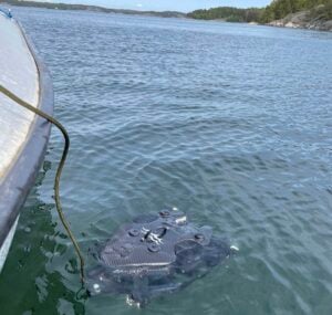
The nets are positioned directly within spawning areas and are checked twice each week during their deployment period from April to July. Because researchers are already traveling regularly to those sites, ROV equipment can be carried on the same boats and deployed during routine sampling visits.
As Mäkinen explains, “We check the trap nets two times a week when they’re deployed in the sea,” and “We typically take the equipment with us when we go to the trap nets to check them.”
This arrangement has allowed underwater observation to become part of the institute’s normal field program rather than requiring a separately organized diving operation. During the spawning season described by ARI, the team conducted seven dedicated ROV survey trips in addition to its routine trap-net checks. The number of surveys varies between years as ROV use expands.
The approach reduces the need for diver contracting, associated safety procedures, additional vessel activity, and project-specific funding dedicated to dive surveys.
Mäkinen continued, “It’s quite expensive to employ divers, and there are, of course, safety issues to consider as well.”
The institute had not carried out diving surveys for a number of years before adopting the ROV-based approach.
“We haven’t conducted diving surveys for many years, but these ROVs allow us to carry out surveys again in a more cost-effective way,” noted Mäkinen.
Rather than replacing the institute’s existing biological sampling, the ROVs add underwater observations to field visits that are already required for the long-running herring program.
“Compared to diving, the ROV has made spawning ground monitoring much easier,” said Mäkinen. “We no longer need to secure larger project grants to carry out this work and can instead incorporate it into our day-to-day activities. Students are able to use the equipment, as well.”
Collecting Visual Data in Low-Visibility Coastal Water
The Archipelago Sea presents difficult conditions for optical surveys. Water clarity varies both between years and during individual field seasons, while eutrophication and river discharge can further restrict visibility.
Mäkinen explained, “The visibility is low due to eutrophication and river inflow. We were really happily surprised by the image quality. We’re able to identify species from the video footage…It’s quite easy to identify the bottom plants and algae.”
Despite those conditions, the ROV footage has allowed researchers to distinguish organisms and identify benthic vegetation and algae.
The systems have also been used for behavioral observation. During fieldwork in May 2024, researchers recorded a herring school during spawning activity. The appearance of the school allowed the team to alter its planned schedule and remain at the location for several hours to continue monitoring behavior.
Mäkinen described the ability to respond immediately to observations in the field as particularly useful because information on herring spawning behavior remains limited, “It’s really valuable that we can adjust our schedule in real time when something interesting appears.”
Station Keeping in Shallow and Wave-Affected Areas
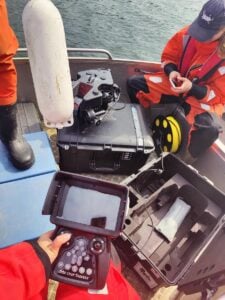 Maintaining a stable observation position has become important during surveys in the institute’s shallow coastal operating areas.
The spawning grounds include rocky bottoms affected by wave action, while larger vessels also pass through some survey locations. Loose sediment can create an additional complication if vehicle movement disturbs the seabed and reduces visibility.
ARI has therefore used station keeping to hold the ROV in position during habitat surveys and behavioral observations.
Mäkinen said, “Holding the ROV in place has been really key for surveying. There is a lot of loose sediment, so staying in place has been very important. When we filmed the herring school as well, we found it was best to stay in one position and simply film as the school moved around us.”
Keeping the vehicle stationary also provided a way to observe fish movement without continually maneuvering around the school.
“Staying in place has been really good,” she adds.
The functionality has also been used where surface conditions introduce additional vehicle movement.
Mäkinen continued, “There are a lot of waves and big vessels going by in the areas where we operate. We’ve found the station keeping functionality really useful. We also work at shallow rocky bottoms where waves are common due to the shallow depths. When we station the ROV in one place, it has managed quite well with the wave conditions.”
Adding Video to a Four-Decade Biological Record
One of the distinctions between the institute’s previous diving surveys and its current ROV work is the creation of a permanent visual record.
ARI already maintains biological material dating back to the 1980s, including tissue and otolith samples. ROV footage adds information on habitat, spatial conditions, and observed behavior that can be considered alongside those archived biological samples and the project’s long-term field records.
“I like that you get video footage as well,” said Mäkinen. “The recordings can be stored and revisited later as research advances. With diving, you typically receive a report and rely on the diver’s observations, but with the ROV, the footage can be shared and reviewed by others.”
Stored footage can therefore be revisited as research questions develop, used for comparisons between survey periods, and examined by researchers who were not present during the original deployment. As Mäkinen said, “It’s really nice that we have the footage. We can store it and go back to it later on.”
The visual record also has uses outside direct scientific analysis. ARI uses material from its research activities for outreach and education, and footage has been provided to artists and the wider public. “It’s quite eye-opening to see the current state of the spawning fronts and to use that information to communicate it to decision makers,” Mäkinen notes. The footage is also used beyond research contexts, including outreach and education. “We do quite a lot of research and outreach,” Mäkinen noted. “It’s really nice to provide the footage to artists and then to the general public as well.”
Visual documentation can also support communication about environmental conditions in herring spawning areas.
Expanding Access to Underwater Observation
Replacing specialist diving operations with an ROV-based survey method has also changed who can participate in underwater data collection.
Students and researchers do not need dive certification to operate the equipment, allowing more of the institute’s personnel and visiting users to participate in survey work.
As Mäkinen noted, not everyone involved in the research is willing or able to dive. Making underwater observation available through an ROV therefore widens participation while avoiding the requirements associated with deploying scientific divers.
ARI has also emphasized the importance of equipment being straightforward to learn because researchers have limited time to become familiar with new field systems and the institute does not have enough technical staff to specialize in every item of equipment.
Mäkinen notes, “We got really good instructions,” and adds that “We used your videos and instruction websites quite a lot.” The system is actively used by students involved in fieldwork and research activities, with Mäkinen joking, “The students are more capable of using the ROVs at the moment than what I am.” Students are now actively involved in operating the systems during field activities.
For ARI, ease of adoption is directly connected to how widely research equipment can be used across projects and visiting groups.
“As researchers, we have quite limited time to get acquainted with new equipment, which can be a challenge when introducing new purchases,” said Mäkinen. “We don’t have enough technicians to learn every system in detail, so the faster and easier the process is, the better. That also increases how much the equipment gets used, and allows us to teach other groups and users who come to the station. It’s important to have technology that is fairly intuitive and quick to use.”
Extending ROV Use Across Research and Teaching
The PIVOT and PHOTON systems are increasingly being used beyond individual spawning-ground observations.
ARI’s activities include spawning habitat mapping from 2024 onward, spatial monitoring of spawning areas during 2024-2026, behavioral observation during spawning events, support for long-term ecological and reproductive research, and use across multiple research and teaching projects.
Additional work is being planned around transect surveys and habitat mapping as part of more intensive investigation within the institute’s research area.
Mäkinen explained, “Transect service and habitat mapping is something that we’re going to actually do this spring and summer. We have a new project where we’re doing more intense surveying within our research area, so that’s something that we’re just planning right now.”
Because the equipment is held at the research station rather than assigned exclusively to a single project, it can also be used by other researchers and visiting groups.
Mäkinen notes that usage is expected to become highly frequent, stating, “We’re going to use the ROVs quite intensely, weekly, if not even daily.” The systems are also shared across users at the station, with Mäkinen adding, “It’s available for any users that come to the station.”
The institute expects the frequency of deployment to increase as additional projects begin using underwater observations.
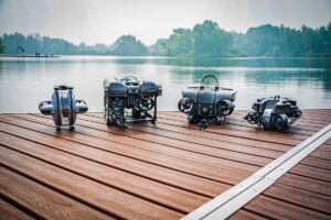
Supporting Continuity in Long-Term Marine Research
For the Baltic Herring Project, the principal change is not simply the introduction of another survey instrument. ROV observation has allowed underwater monitoring to be incorporated into a research program that already depends on frequent seasonal visits to spawning grounds.
The institute can now conduct underwater spawning-habitat surveys without routine diver operations, add observations to twice-weekly trap-net fieldwork, involve researchers and students without dive certification, and build a visual archive alongside biological material collected over more than four decades.
The same equipment can also support habitat mapping, behavioral studies, education, outreach, and other research activities at the Archipelago Research Institute.
By incorporating PIVOT and PHOTON deployments into existing sampling routines, ARI has re-established a form of underwater observation that had become difficult to maintain through diving while increasing the amount and range of information that can be collected during its established field program.
Mäkinen concluded, “It’s just a cost-effective way to get more data.”
Read How ARI Cut Survey Costs and Expanded 40 Years of Baltic Herring Research with ROVs on the Deep Trekker website.