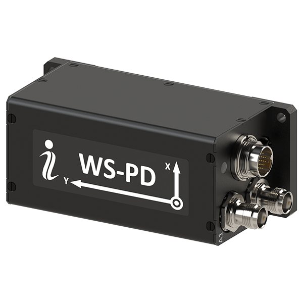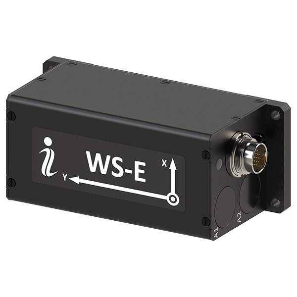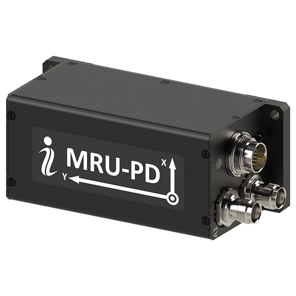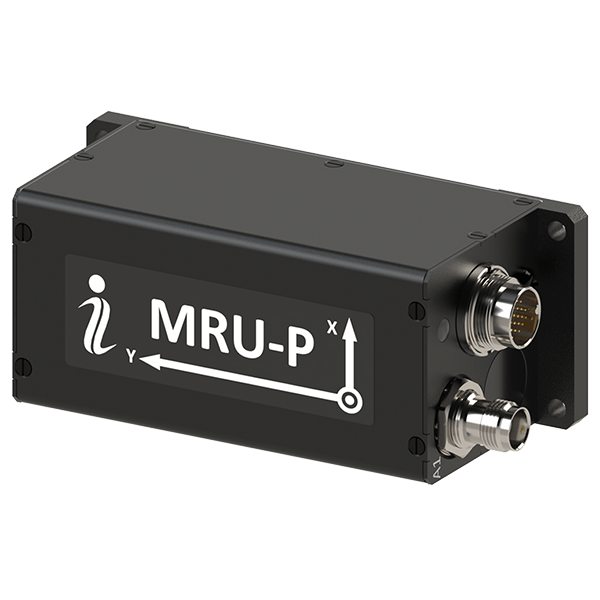
Inertial Labs has introduced IRINS, a navigation system designed to maintain high-precision positioning and timing for marine, aerial, and land-based platforms operating in signal-denied environments.
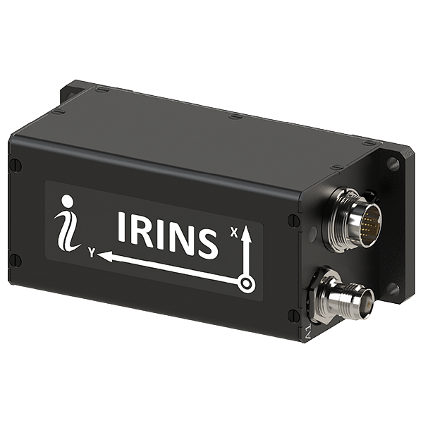
As offshore and subsea operations increasingly rely on autonomous systems, the threat of signal interference or disruption to traditional satellite navigation has become a critical concern. The IRINS platform, part of the VIAVI Solutions assured Positioning, Navigation and Timing (APNT) portfolio, addresses these vulnerabilities by integrating an Inertial Navigation System (INS), an Altitude and Heading Reference System (AHRS), and a Low Earth Orbit (LEO) receiver. This combination ensures that vessels and sensors can maintain accurate heading and velocity data even when standard GNSS signals are degraded or unavailable.
The system architecture utilizes the STL-2600 LEO Iridium receiver module, which connects to the Iridium satellite constellation. Unlike traditional GPS, this LEO-based approach provides a resilient layer of data that helps the system calculate precise altitude, position, and time while actively minimizing the sensor drift that can affect long-term maritime missions. For added security against signal manipulation, the device includes a GNSS receiver with a Controlled Reception Pattern Antenna (CRPA) port specifically designed to detect and mitigate spoofing attempts.
Jamie Marraccini, Vice President, Inertial Labs Products, VIAVI, said, “The IRINS is the first fruit borne of VIAVI’s visionary strategy to mitigate vulnerabilities in positioning, navigation and timing, bringing together resilient satellite-based timing with tactical-grade IMUs to deliver the most precise PNT for GNSS-denied environments. By tightly coupling inertial sensing, LEO-based timing and navigation and anti-jam GNSS technologies into a single platform, the IRINS provides unmatched continuity, accuracy and trust for operations in contested and denied environments.”
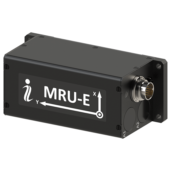
Designed for the rigors of the marine environment, the IRINS is housed in a compact 126.5 × 49.3 × 53.3 mm enclosure and is certified to IP67 and MIL-STD-810G standards for water and shock resistance. The internal suite includes a fully calibrated tactical-grade MEMS 3-axis accelerometer and gyroscope, alongside embedded barometers and magnetometers. For aerial marine assets or specialized surface craft, the system also features an optional onboard air-data computer.
Maynard Porter, Director, Government PNT Business, Iridium, added, “Assured access to PNT is critical for operations in contested environments. Integrating Iridium PNT alongside VIAVI’s INS and AHRS provides users with an exceptionally resilient source of time and location data to maintain operational effectiveness when GNSS signals are disrupted.”