Underwater Laser Scanners

An underwater laser scanner is a specialized imaging system used for three-dimensional mapping of subsea environments. Subsea laser scanners emit laser beams into the underwater surroundings, capturing precise spatial data for applications such as underwater archaeological site documentation, seafloor mapping, and habitat monitoring.

Suppliers

Add your company
SubC Imaging

Cutting-Edge Underwater Optical Imaging Systems for Subsea Inspections & Surveys
YellowScan

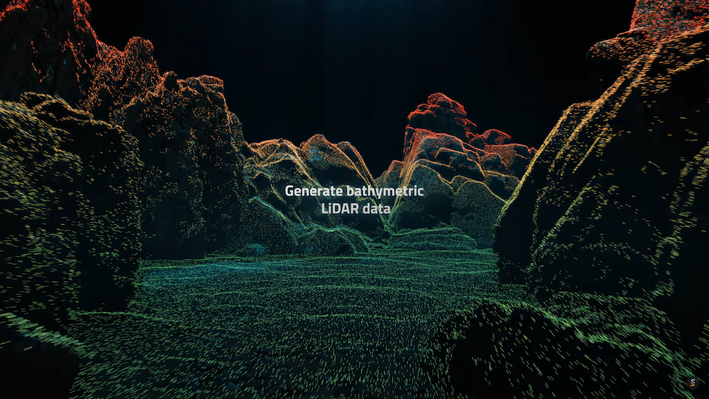
Innovative Bathymetric LiDAR Scanning Solution for Professional 3D Mapping & Surveying Applications
Voyis

Cutting-Edge Underwater Laser Scanners & Imaging Systems for Underwater Vehicles

DeepSea Power & Light

Robust and Reliable Underwater Cameras and Lighting Equipment

Showcase your capabilities

If you design, build or supply Underwater Laser Scanners, create a profile to showcase your capabilities on this page

Create Supplier Profile

Products

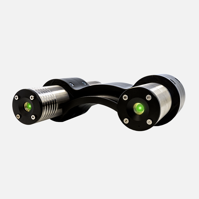
MantaRay Parallel Lasers

Precision parallel beam laser system for ROV and subsea applications

Precision parallel beam laser system for ROV and subsea applications
...taRay Parallel Lasers deliver unparalleled accuracy and reliability for underwater precision tasks,... ...d for exacting underwater applications, ensuring consistent performance and high measurement...
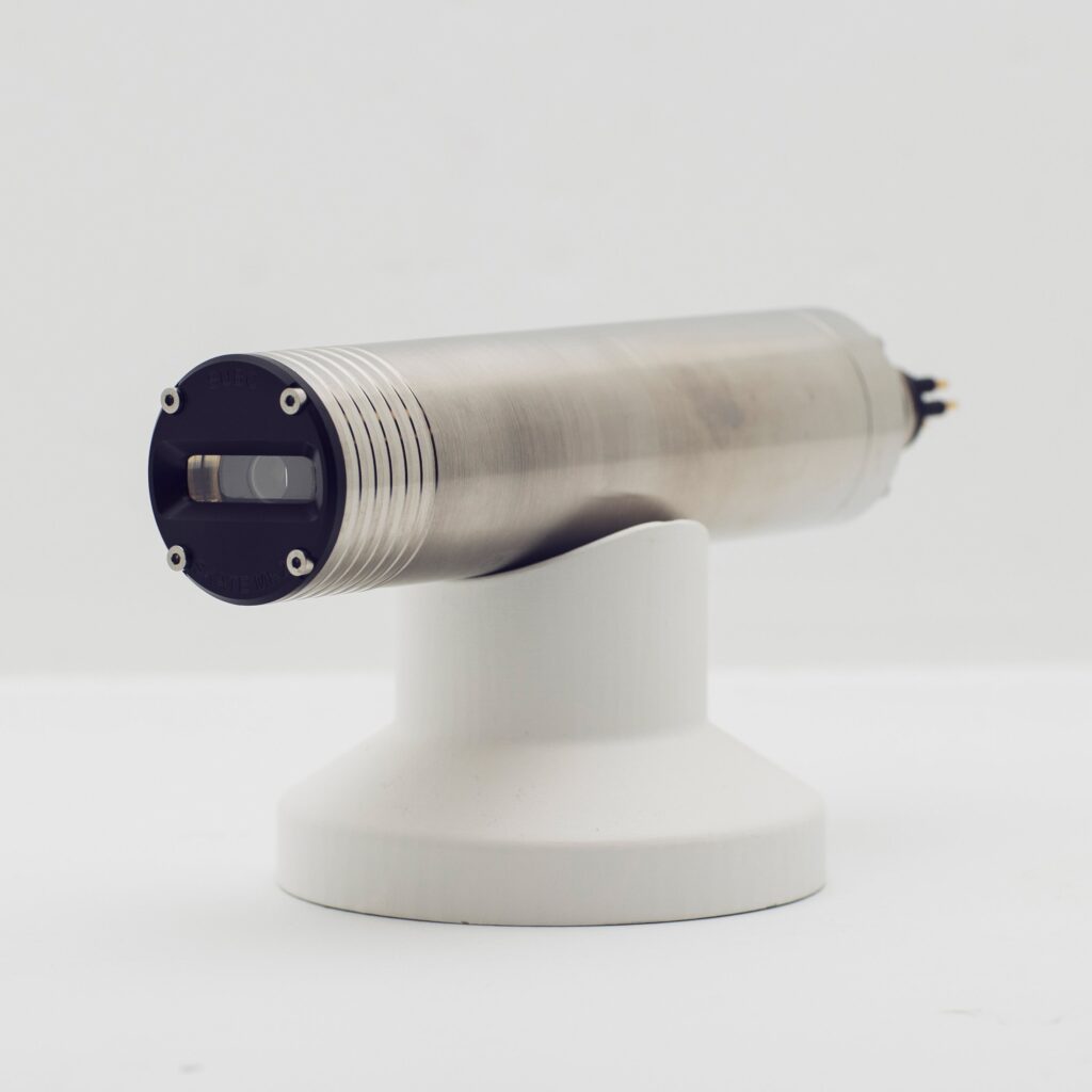
Skate Line Laser

Precision subsea laser for enhanced imaging and measurements

Precision subsea laser for enhanced imaging and measurements
The Skate Line Laser is a cutting-edge subsea laser designed for applications demanding superior... ...The Skate Line Laser is engineered to excel in underwater imaging scenarios where reliable and...
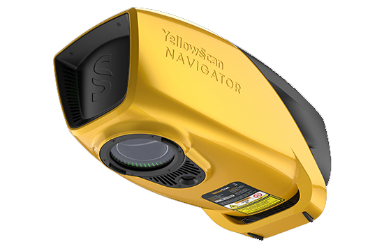
YellowScan Navigator

Bathymetric LiDAR scanner for simultaneous underwater and ground topography

Bathymetric LiDAR scanner for simultaneous underwater and ground topography
...prietary green laser scanner that has been developed and refined in-house by YellowScan, it can...
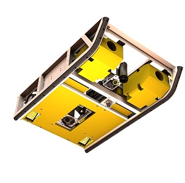
Perception XL

Work-class ROV skid with options for both laser scanning and imaging sensors

Work-class ROV skid with options for both laser scanning and imaging sensors
...ing system and laser scanner into one convenient and neutrally buoyant modular package integrated...
Perception

Inspection-class ROV skid with options for both laser scanning and imaging sensors

Inspection-class ROV skid with options for both laser scanning and imaging sensors
...ing system and laser scanner into one convenient and neutrally buoyant modular package integrated...
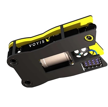
Recon LS

Combined AUV imaging & laser scanning payload

Combined AUV imaging & laser scanning payload
... camera and an underwater laser scanner, using the existing navigational data to deliver accurate...
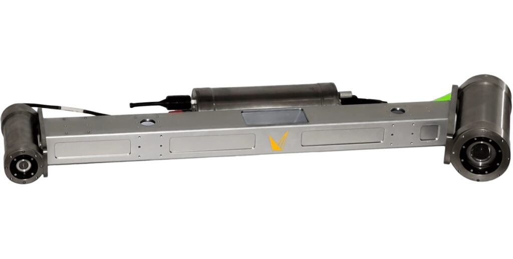
Insight Pro

Longest range dynamic laser scanner for depths of up to 6000m

Longest range dynamic laser scanner for depths of up to 6000m
... is a deep-sea underwater scanner designed to collect real-time high-accuracy 3D data for wide-area...

Related Articles

SubC Imaging Discusses Subsea Lights & Lasers for Marine Research

This guide from SubC Imaging outlines the role of subsea lights and lasers in marine research, highlighting their uses, key features, and examples such as rugged LED lights, parallel dot lasers, and grid lasers

Sep 25, 2025
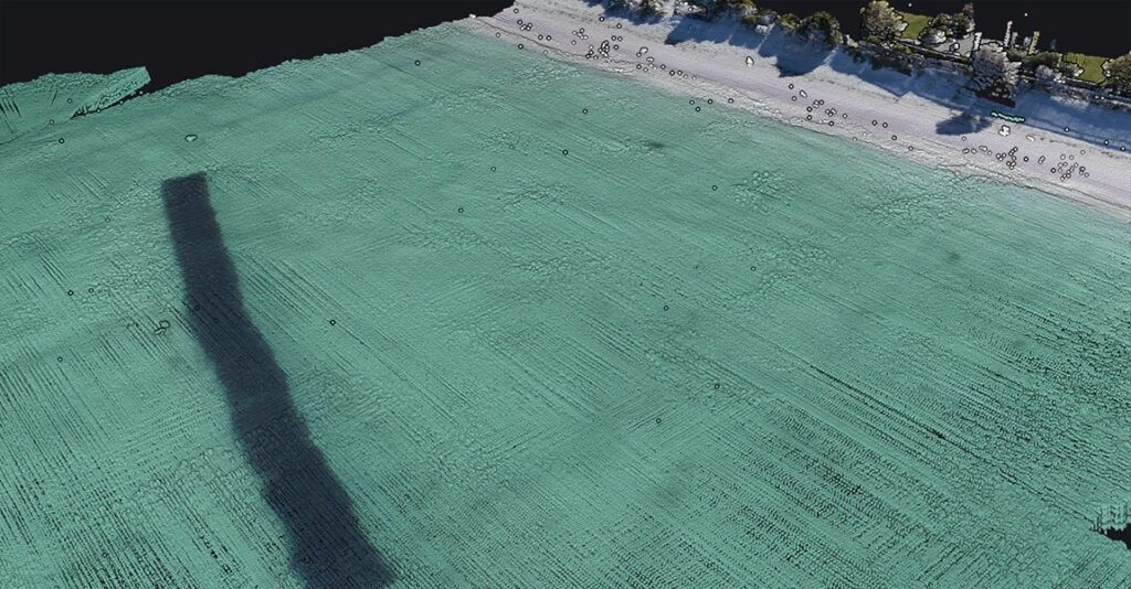
YellowScan Navigator Deployed for Bathymetric Mapping of Artificial Reef at Port Beach

YellowScan’s Navigator demonstrated rapid deployment and accurate bathymetric mapping of an artificial reef off Port Beach, highlighting efficiency, safety, and same-day results

Sep 17, 2025
High-Resolution Imaging Tools for Marine Research & Conservation

SubC Imaging's subsea cameras provide researchers with high-resolution imagery to study ecosystems, track biodiversity, and assess human impacts, supporting marine conservation and long-term monitoring

Sep 09, 2025
YellowScan to Showcase Bathymetric LiDAR at Geo Connect Asia

YellowScan's advancements in bathymetric LiDAR technology will be at Geo Connect Asia 2025, April 9-10, where their CEO Tristan Allouis will also participate in a panel discussion

Apr 02, 2025
Profile Spotlight: Yellowscan & Bathymetric LiDAR Scanning

OST is helping Yellowscan to showcase its innovative LiDAR scanning solutions for professional 3D mapping and surveying applications in marine and maritime industries

Dec 13, 2024
Subsea Laser Scanner Captures 3D Reconstruction of Endurance Wreck

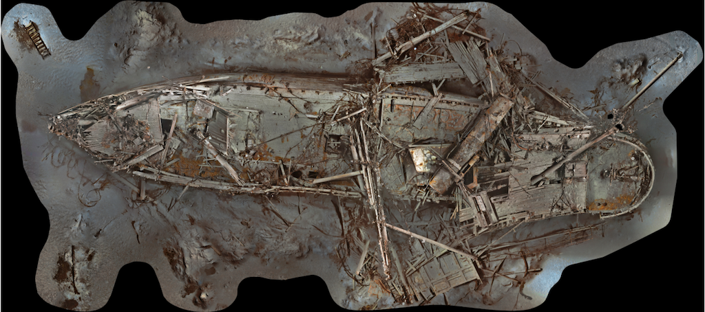
Voyis’ Insight Pro laser scanner and Observer Pro imaging system have enabled a 3D digital scan and reconstruction of the Antarctic wreck of Sir Ernest Shackleton’s Endurance

Oct 16, 2024
Profile Spotlight: Voyis’ Subsea Imaging Systems & Laser Scanners

OST has been helping Voyis showcase its advanced underwater imaging products, which enhance subsea capabilities and aid in understanding challenging marine environments

Oct 10, 2024
AUV Sensors Aid in Oil-Damaged Subsea Community Restoration

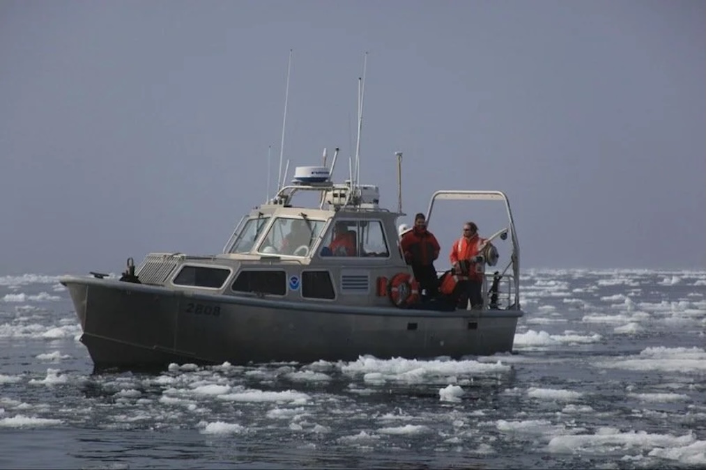
NOAA has used Voyis underwater laser scanning and imaging technology in their work to restore Mesophotic and Deep Benthic Communities damaged by the Deepwater Horizon oil spill

Aug 30, 2024
Partnership for Long-Range Bathymetric Water Survey Technology

The integration of YellowScan’s Navigator bathymetric system into Xer Technologies’ drones offers a solution for long-range bathymetric surveys and underwater topography mapping

Aug 15, 2024