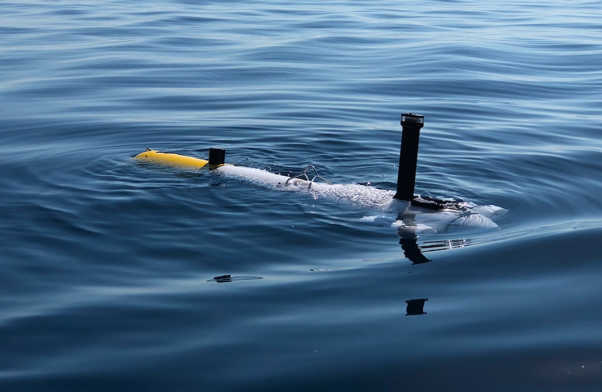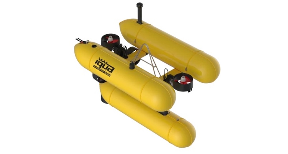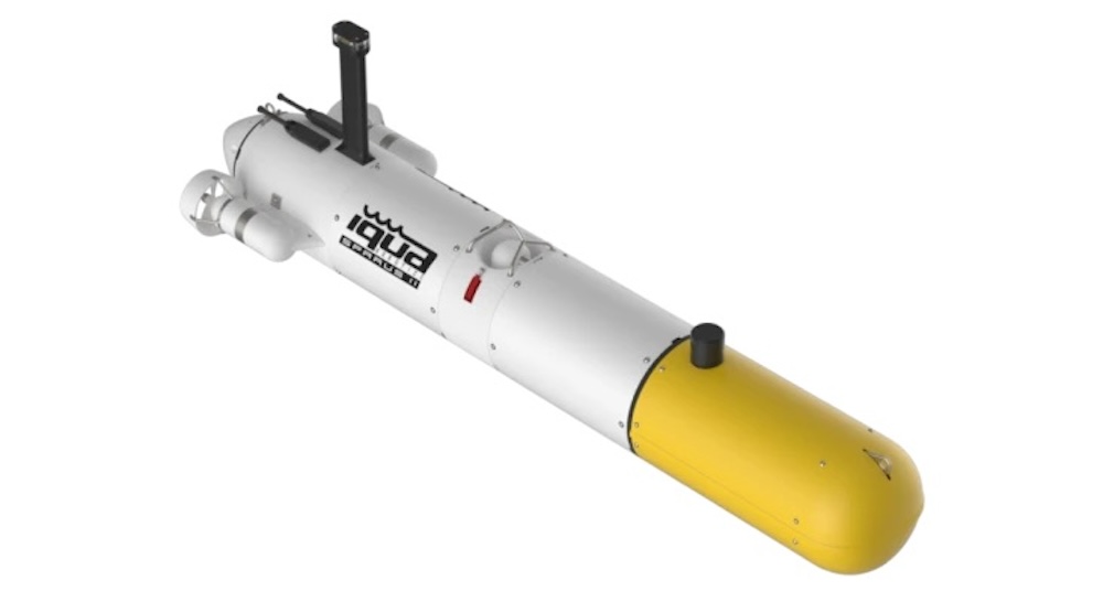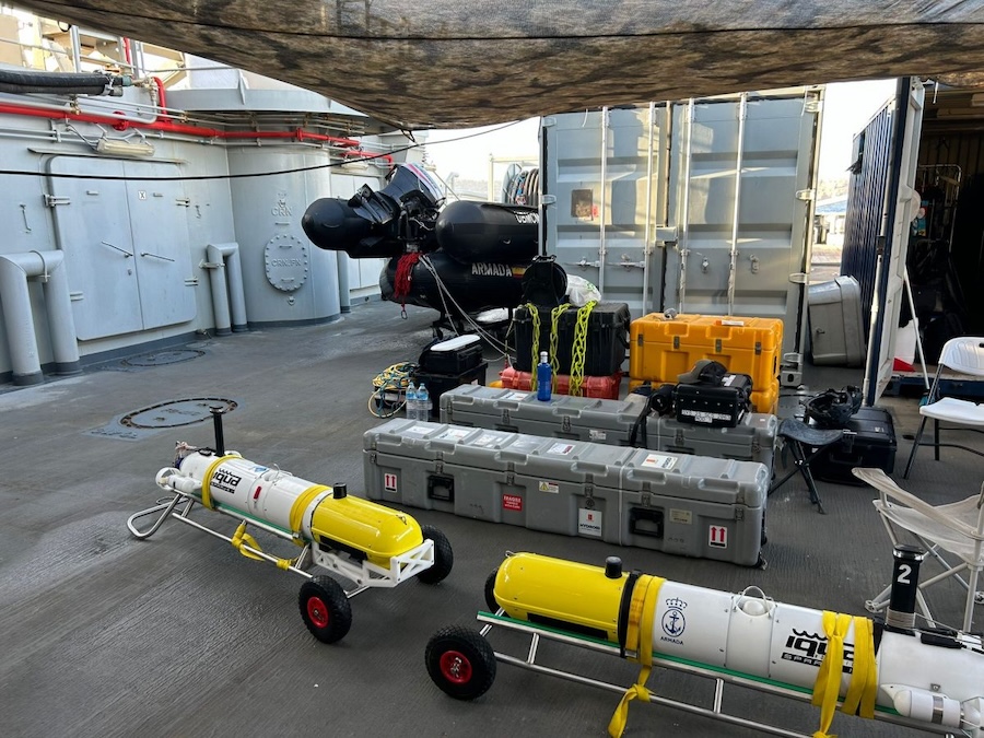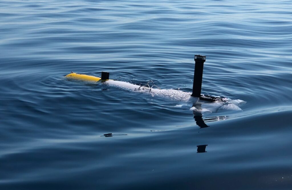


During the REPMUS 26 maritime exercise, IQUA Robotics validated advanced autonomous mine countermeasures and seabed mapping capabilities using its SPARUS II autonomous underwater vehicle across sixteen operational serials.
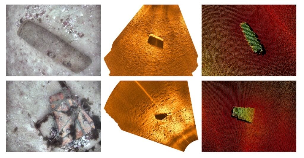
Operating in Sesimbra, Portugal, alongside the Spanish Navy Mine Countermeasures group, the company deployed the vehicle between 3 and 24 September 2026 to detect potential underwater contacts and confirm the presence of multiple mines. Configured with a Blueprint Subsea forward-looking sonar, a Norbit multibeam echosounder, and an in-house optical camera system, the platform executed an integrated operational pipeline designed to carry out both detection and identification within a single autonomous mission. Following an assigned search pattern, the vehicle autonomously detected contacts via sonar imagery, dynamically replanned its route to inspect targets at close range with all onboard sensors, and subsequently resumed its search pattern.
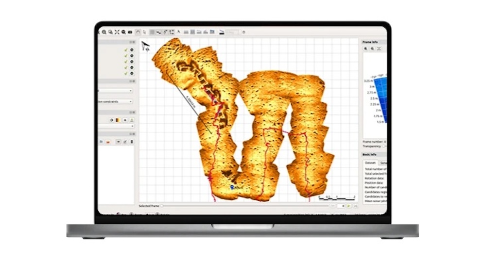
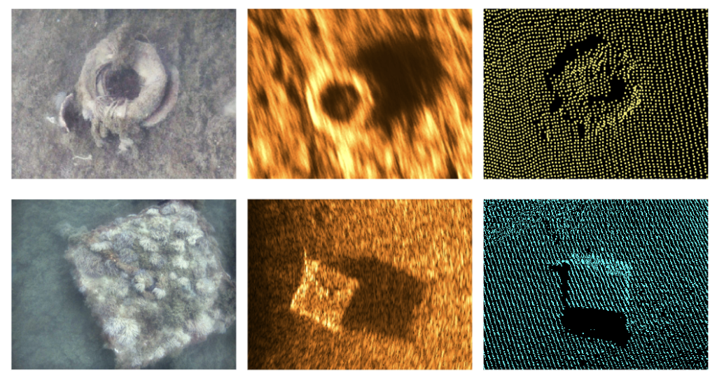
A central technical advance during the exercise was the introduction of an artificial intelligence detector for sonar imagery, which produced significantly fewer false positives than previous systems. During target inspections, an artificial intelligence classifier evaluated optical imagery to categorize objects as mines or non-mines, correctly identifying every deployed exercise mine and transmitting results in real time through an acoustic communications link. Upon vehicle recovery, high-frequency sonar data, multibeam point clouds, and optical imagery were immediately available to operators alongside semi-automatically generated APP-11 report summaries. The team also conducted probability-of-detection assessments through the Sonar PY-curve Test, organized by the Swedish Armed Forces, generating critical sonar performance curves for operational risk analysis.
Demonstrating cross-platform collaboration, the vehicle achieved interoperability under STANAG 4817 Volume 3 alongside the US Navy CTG 68.3. During these joint operations, a US REMUS vehicle surveyed exercise areas using side-scan sonar and transmitted contact identification tasks directly to the SPARUS control station. The system automatically generated target reacquisition plans, enabling the SPARUS II to reacquire and optically verify each contact in under 10 minutes while the survey vehicle continued uninterrupted operations, demonstrating the operational efficiency of cooperative autonomous networks over traditional sequential methods.
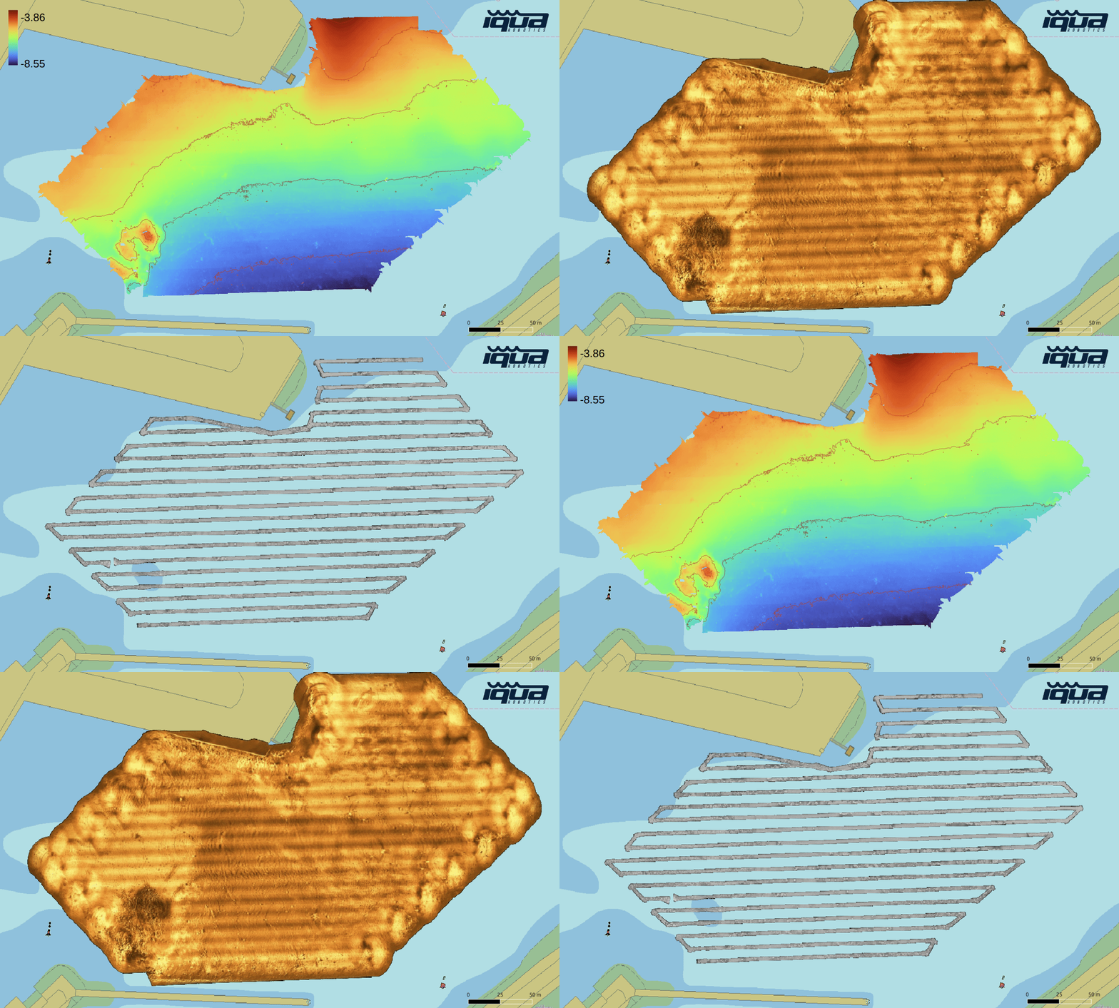
Expanding its scope into tactical operations and working for the first time with the Rapid Environmental Assessment group, the platform mapped the port of Sesimbra and surveyed a seabed corridor hosting a communications cable. Single-pass missions collected bathymetric, acoustic, and optical mosaic data, processed rapidly with QPS Qimera alongside IQUA SoundTiles and OpticTiles software to support critical infrastructure assessments. In addition to tactical tasking alongside the Spanish Navy, which operates two SPARUS II units, the deployment included operational demonstrations for international naval observers and the processing of third-party forward-looking sonar data for industry partners.