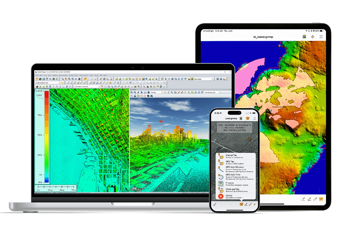
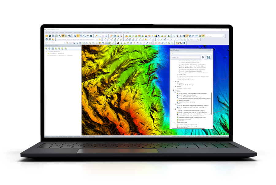
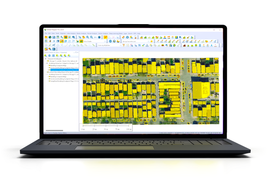
Blue Marble Geographics explores how researchers at the University of Maine are using geospatial tools like Global Mapper to develop SAWGraph—a solution for tracking PFAS contamination. Find out more > >
PFAS contamination is one of the most pressing environmental challenges of our time. Known as “forever chemicals” for their resilience and persistence, these synthetic compounds are found in everything from farmland soil to drinking water—and they don’t break down easily. A team at the University of Maine, led by Dr. Torsten Hahmann, is tackling this issue head-on with a powerful new tool: the Safe Agricultural Products and Water Graph, or SAWGraph.
Funded by the National Science Foundation, SAWGraph is designed to connect and analyze geospatial data from across the U.S. to trace the origins and pathways of PFAS contamination. This innovative knowledge graph is being developed to support national efforts by the NSF and EPA, offering a structured, interactive way to visualize, explore, and ultimately mitigate PFAS pollution.
In GEOTalks Episode 2, Blue Marble Geographics speaks with Katrina Schweikert, a Ph.D. researcher on the SAWGraph team, to uncover how this cutting-edge project is shaping the future of environmental monitoring. From integrating data sources like the EPA’s CompTox Chemical Dashboard to using Global Mapper for dynamic geo-visualizations, SAWGraph is setting a new standard for tracking chemical threats in the environment.