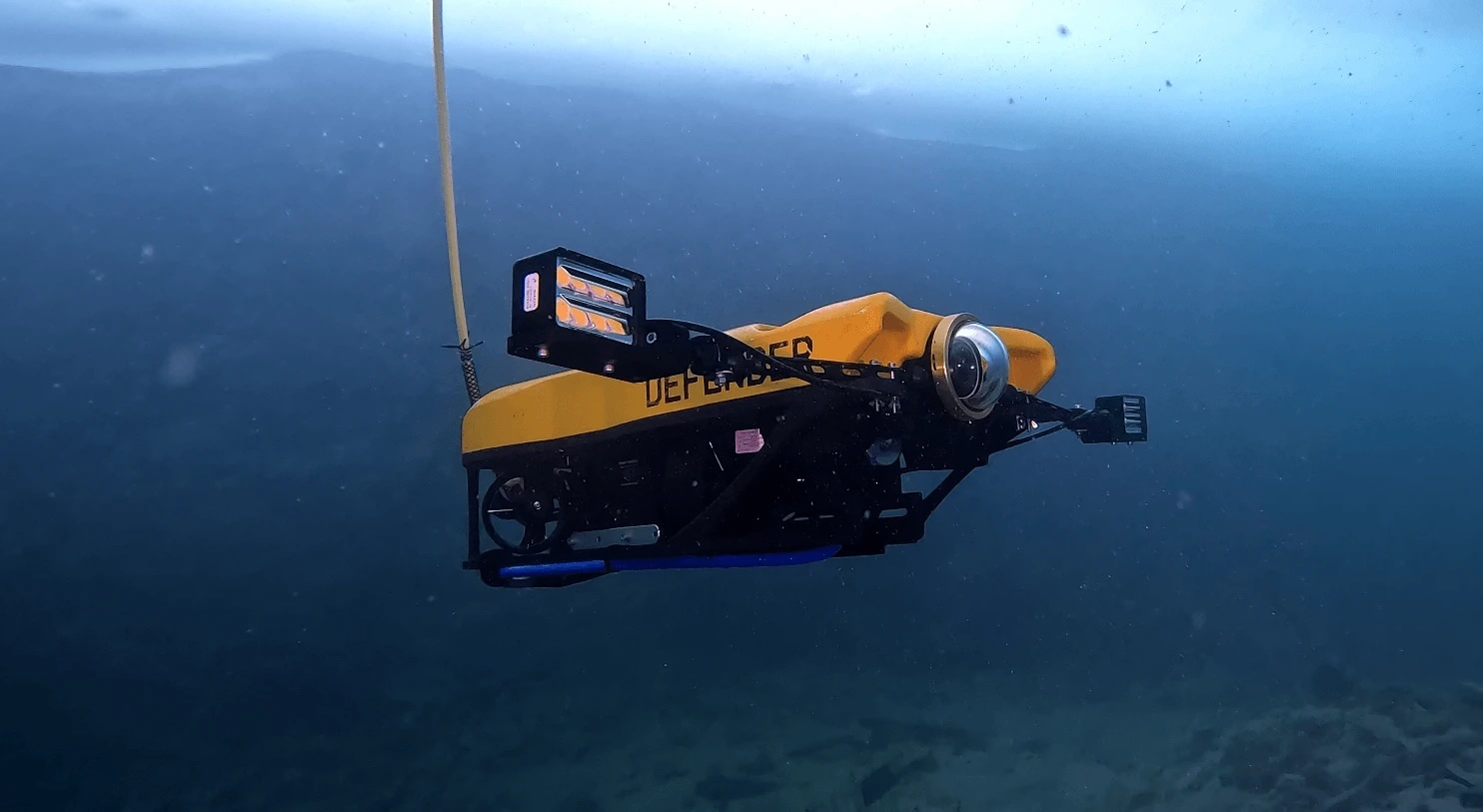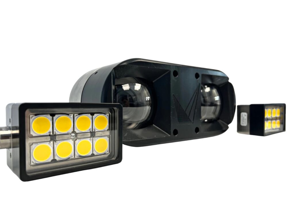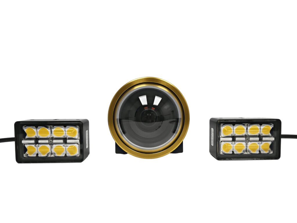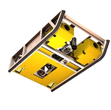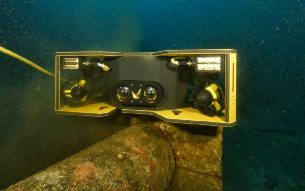
Accurate distance assessment is a persistent challenge for ROV operators conducting subsea inspections and surveys. Voyis is addressing this limitation through its Discovery Stereo Perception Series, which combines synchronized depth and video streams to provide operators with visual imagery and spatial information for real-time piloting decisions. Read more >>
Addressing the Limitations of Conventional ROV Video
ROV cameras are essential for underwater navigation, asset inspection, and survey operations. However, even high-resolution video provides a two-dimensional representation of the surrounding environment, requiring pilots to interpret visual cues to determine distance, orientation, and proximity to objects.
This becomes particularly challenging in low-visibility conditions, where reduced visual information can make spatial relationships difficult to assess.
Tasks such as maintaining a consistent distance from a structure, maneuvering through confined spaces, and positioning an ROV for detailed inspection require continuous operator judgment. Reliance on visual estimation can increase cognitive workload and introduce inefficiencies into subsea operations.
Integrating Real-Time Depth Information with Video
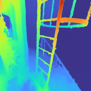
Depth maps provide an additional source of information by measuring the distance between the ROV and objects within the camera’s field of view on a per-pixel basis.
Rather than relying entirely on visual interpretation, operators can use this spatial data to assess proximity and positioning during navigation and inspection activities.
The value of depth information is particularly apparent during close-range operations, where maintaining an appropriate distance from underwater assets is important for controlled movement and inspection consistency.
However, depth measurements and video serve different purposes. While depth data provides information about distance and spatial relationships, video allows operators to visually identify structures, features, and other elements within the scene.
Combining these information sources provides a more complete representation of the underwater environment.
The Voyis Discovery Stereo Perception Series applies this approach by delivering synchronized depth and video streams. Presenting spatial measurements alongside visual information supports real-time decision-making and reduces the need for operators to estimate distances from imagery alone.
Extending Spatial Awareness Across a Wide Field of View
The field of view available to an ROV operator also influences how effectively the surrounding environment can be interpreted.
A wider field of view increases the amount of visible information within each frame, allowing operators to observe nearby structures, potential obstacles, and the wider inspection area without concentrating exclusively on a narrow section of the scene.
When depth information is available across this broader field of view, operators can assess spatial relationships beyond the central portion of the image.
This combination can support smoother navigation, more consistent alignment with underwater assets, and improved control when maneuvering around structures during subsea inspections and surveys.
Improving Image Interpretation in Challenging Underwater Conditions
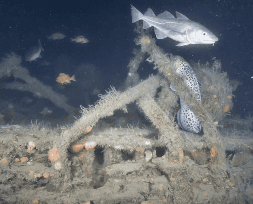
 Underwater imaging is frequently affected by environmental conditions that reduce visibility and image quality. Low light, turbidity, and backscatter can obscure important details and complicate the interpretation of camera feeds.
Image enhancement techniques address these limitations by improving contrast, sharpness, and overall visual clarity.
When enhanced imagery is combined with depth-enabled video, operators gain access to clearer visual information alongside measurements of object distance and positioning.
The integration of these information sources is particularly relevant in challenging underwater environments, where conventional video alone may provide insufficient context for assessing the ROV’s surroundings.
Maintaining both visual clarity and spatial information can help operators interpret the scene and make more informed piloting decisions.
Supporting More Consistent Subsea Inspection Operations
Integrating depth maps, enhanced video, and a wide field of view within a single imaging system offers practical benefits for ROV piloting.
The combined information can support more stable and precise maneuvering, particularly when approaching structures or maintaining a consistent offset during inspection activities.
Access to real-time distance measurements also reduces reliance on operator estimation, while the wider visual context assists with navigation and positioning around underwater assets.
For subsea inspection and survey operations, this integrated approach can contribute to greater efficiency by allowing operators to interpret visual and spatial information through a unified view rather than relying on separate tools or incomplete data.
Moving Beyond Visual Observation
ROV imaging systems are increasingly being considered not only as tools for visual observation but also as sources of spatial information that can support underwater navigation and situational awareness.
Combining synchronized depth maps with video allows operators to evaluate both the appearance of underwater structures and their distance from the vehicle.
When supported by image enhancement and a wide field of view, this approach provides additional context for navigating complex subsea environments, maintaining inspection distances, and carrying out controlled ROV movements.
The result is a more informed approach to ROV piloting, with visual and spatial data contributing to operational decision-making during underwater inspections and surveys.
Read Improving ROV Piloting with Depth Maps and Enhanced Video on the Voyis website.