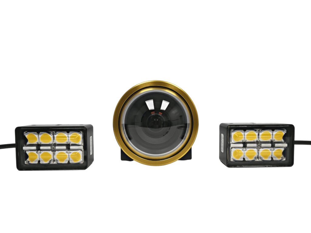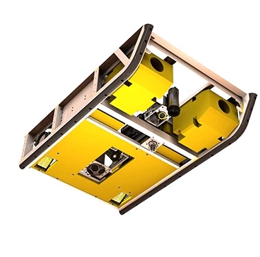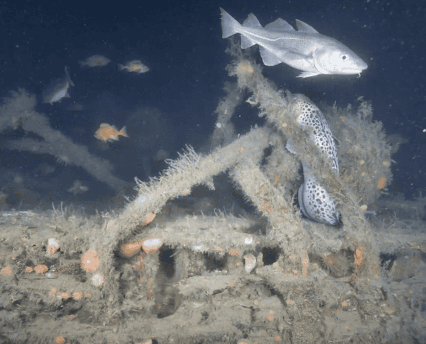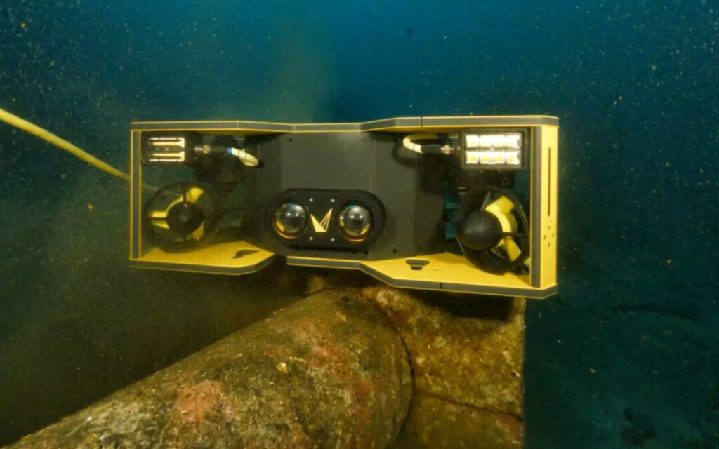

Voyis and EIVA have announced a significant technical update to the Voyis VSLAM solution that introduces absolute geo-located mapping to real-time camera-based 3D reconstruction.
This advancement allows point clouds generated via Visual Simultaneous Localization and Mapping (VSLAM) to be projected directly into global coordinates at the start of a subsea inspection or metrology mission. By embedding EIVA’s NaviSuite geodetic engine, the system ensures that visual mapping is natively aligned to global geodetic frames, matching established industry survey standards.
Users can now define specific geodetic settings and select coordinate systems from the EPSG Library before data acquisition begins, ensuring every 3D point is immediately tied to a known global reference frame.
The system functions by reading the initial global position from a connected Inertial Navigation System (INS), such as a Sonardyne SPRINT-Nav, to place the map into the selected geodetic frame. This global placement remains stable throughout the dive, even during relocalisation or loop closure events, while the VSLAM engine simultaneously refines local map geometry.
This integration improves situational awareness by allowing pilots and surveyors to load background maps, reference charts, or seabed models directly beneath the live point cloud. Additionally, a priori models, including CAD drawings of subsea structures, can be overlaid for immediate comparison. The update also enables inspection targets to be marked in absolute coordinates, allowing them to be revisited across different dives or from different vessels.
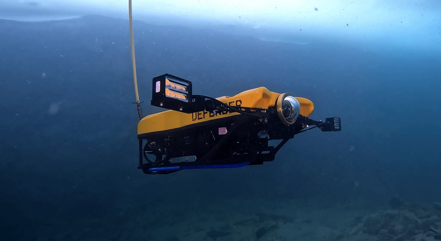
Operational benefits include cross-dive continuity, where operators can resume inspections at the exact terminal point of a previous mission. The alignment with global positioning simplifies the correlation between live inspection data, engineering drawings, and historical survey datasets. By providing live context within the surrounding geospatial environment, the technology facilitates safer Remotely Operated Vehicle (ROV) maneuvering and more efficient tether management.
Once data is collected, the generated point clouds can be managed through NaviModel. This allows users to re-project datasets into alternative reference frames as project requirements evolve, maintaining compatibility with long-term inspection archives and engineering standards.
This release reflects a commitment to advancing survey-aligned perception systems for next-generation subsea robotics. By unifying real-time visual mapping with trusted geodetic frameworks, the update establishes a foundation for higher-confidence autonomous underwater operations across the marine science, defense, and offshore energy sectors.