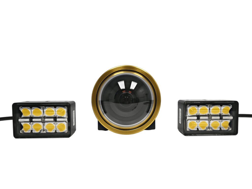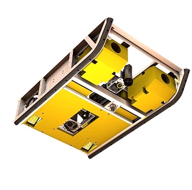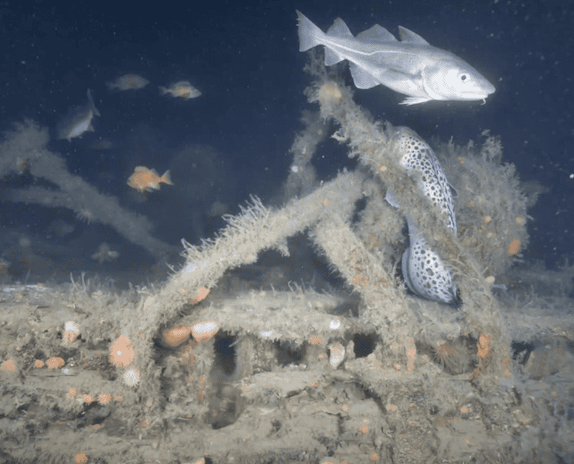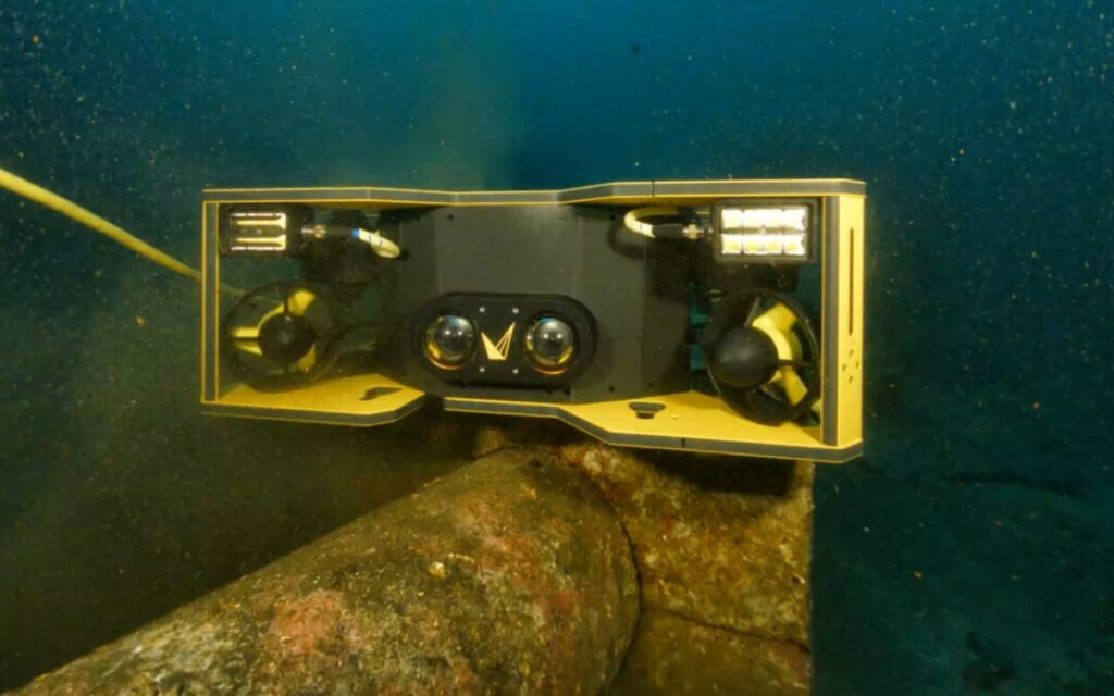
In collaboration with EIVA, Voyis has released Voyis VSLAM Powered by EIVA NaviSuite version 1.3, which marks an advancement in real-time subsea mapping and offers an enhanced 3D visualization experience using voxel-based rendering and stereo vision technologies.
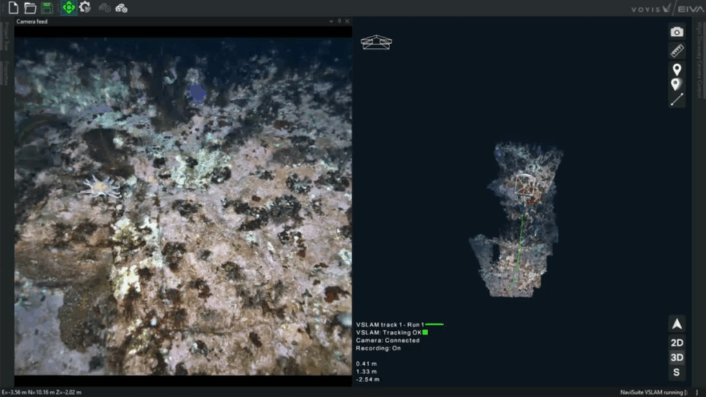
Version 1.3 introduces an advanced voxel-based 3D mapping engine, enabling real-time textured visualizations of inspection environments. By projecting the ROV camera’s field of view onto the real-time 3D map, operators gain a uniquely intuitive window into subsea scenes, offering unmatched spatial context and navigational confidence during visual inspections.
Augmented Real-Time Visualisation for Confident Piloting
The default visualization now overlays the system’s real-time depth map onto a structured voxel-based 3D map, providing a real-time projection of the camera’s field of view. This allows ROV pilots to instantly see the camera’s position within the environment and adjust their trajectory to uninspected areas.
This augmented piloting interface supports more efficient movement, better scene coverage, and easier gap-filling, which is particularly critical in large or complex subsea structures such as pipelines, hulls, and infrastructure.
Voxel-Based Mapping: Precision, Speed, and Clarity
Version 1.3 features a real-time point cloud engine using voxel modeling with a minimum resolution of 2.5 cm. Voxels, volumetric pixels, create a uniform 3D grid, storing both spatial and visual data. This representation significantly reduces noise by aggregating multiple stereo measurements within each voxel, eliminating isolated outliers common in raw point clouds.
Beyond cleaner visuals, the voxel format allows for faster map updates and more reliable loop closures during relocalization, ensuring a smoother, clutter-free experience even as the system corrects for positional drift.
Empowering ROV Operators with Actionable Data
With this release, ROV pilots can quickly identify data gaps in real time, allowing them to proactively adjust their trajectory before returning to the surface. This minimizes rework, improves inspection quality, and ensures comprehensive scene documentation on the first pass.
Whether inspecting wide-area infrastructure or confined spaces, the VSLAM 1.3 solution empowers users with immediate spatial awareness and a high-confidence understanding of their inspection progress.
Chris Gilson, CEO of Voyis, commented, “This release transforms the way ROV pilots interact with real-time data. By embedding live video perspectives into a continuously updating voxel map, we’re providing pilots with the ability to navigate more intelligently, cover more ground, and reduce data gaps in their inspection workflows.”
Availability
Voyis VSLAM Powered by EIVA NaviSuite 1.3 will be available globally to existing users as of late July 2025. For more information, or to request a demo, please contact Voyis.
The latest VSLAM capabilities will be demonstrated live at EIVA Demo Days on September 24–25, 2025 in Aarhus, Denmark. Representatives from both Voyis and EIVA will be on-site to showcase the system’s real-time voxel-based mapping and visual navigation features in operation. This is an excellent opportunity to experience the technology firsthand and speak directly with the teams behind its development.