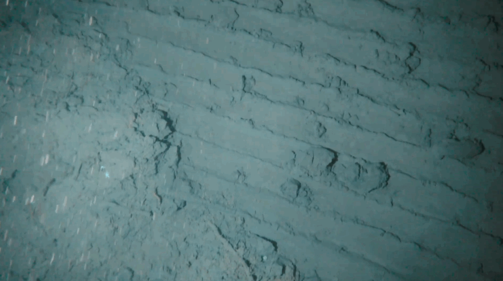
SubC Imaging’s Rayfin camera has been used to document video evidence of anchor and chain damage on the seafloor, exposing overlooked marine impacts in polar regions
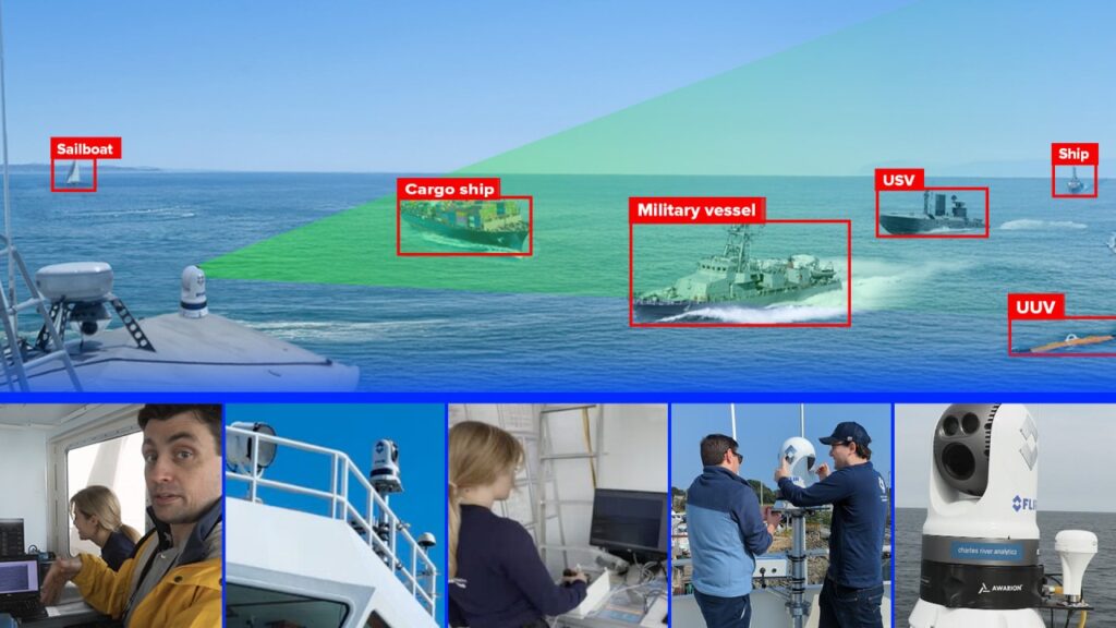
Explore how Charles River's Awarion brings AI-powered situational awareness to sea and shore, helping prevent collisions, protect wildlife, and support critical maritime operations
Explore how Boxfish Robotics provides advanced navigation systems that enable Hovering AUVs to operate with precision and autonomy in complex underwater environments
This case study from Deep Trekker explores how its PIVOT ROV enabled safe, efficient riser inspections in challenging offshore conditions for Orion Inspection Services
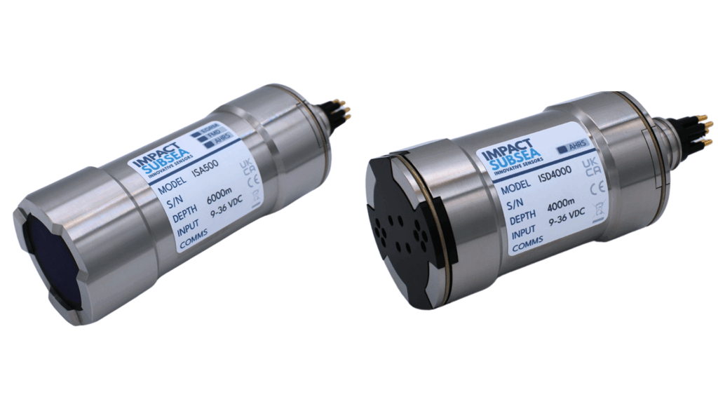
Impact Subsea provided its ISD4000 depth sensors and ISA500 altimeters to Zupt, enabling accurate depth and altitude tracking during subsea template positioning
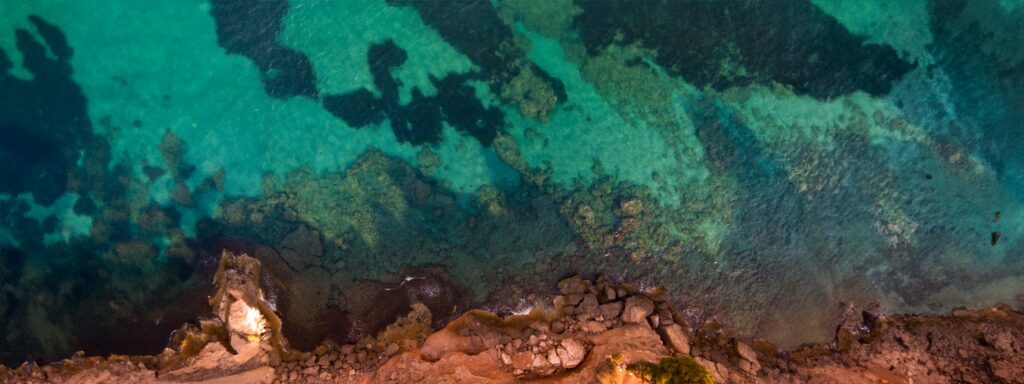
Blue Marble’s Global Mapper Pro supported Bintang Subsea in planning and executing a high-precision bathymetric survey using an autonomous surface vehicle
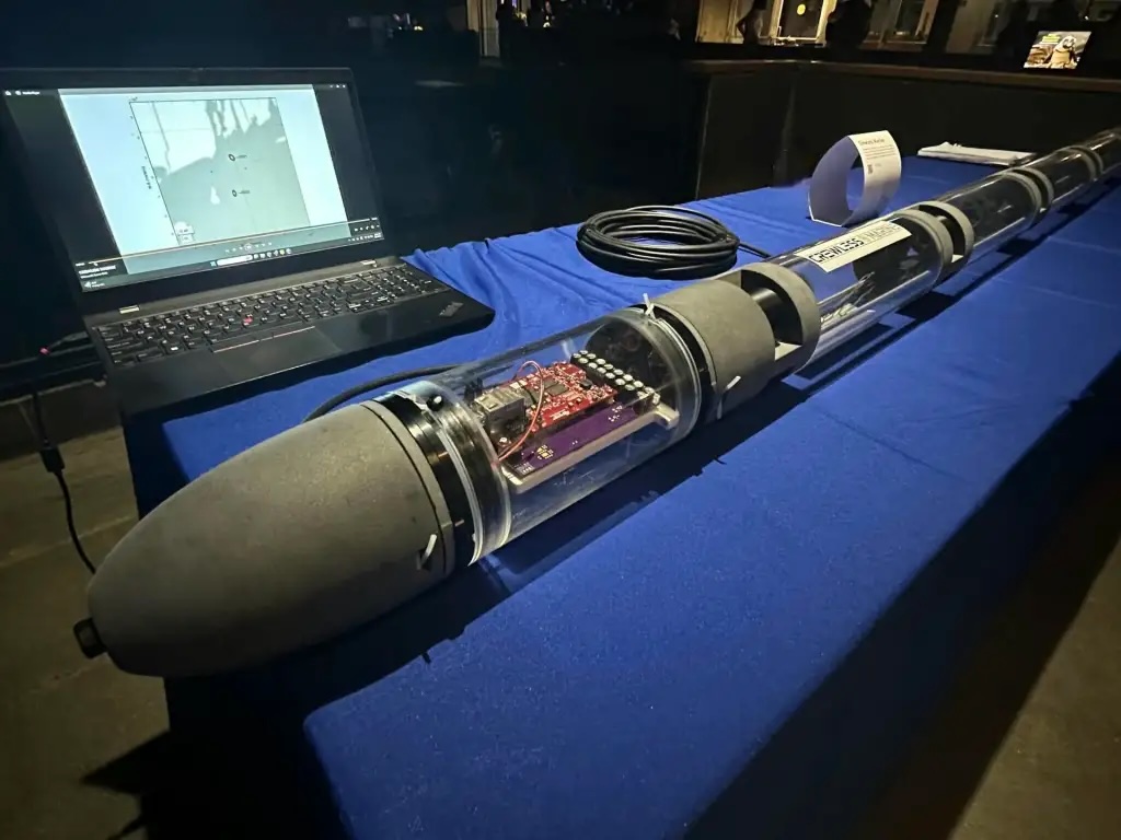
Steven Bordonaro, co-founder of Crewless Marine, delves into the advantages of hydroacoustic sensing, the blue economy, and discusses their position as a finalist in the Rhode Island Business Competition
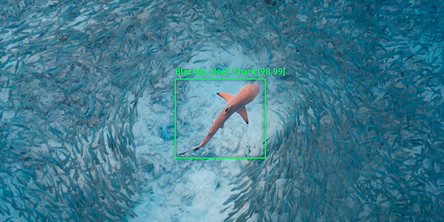
Neousys Technology’s FLYC-300 provides onboard AI computing for drones, supporting real-time video analytics used in shark detection and improving monitoring in challenging environments
Experts from MetOcean Telematics explore how they are addressing challenges in marine data connectivity, examine emerging trends, and provide insight into new technologies
Hefring Marine’s IMAS® system uses real-time monitoring, smart analytics, and actionable guidance to help maritime operators detect, manage, and reduce whole-body vibration (WBV), protecting crew health and improving vessel safety
Learn how SubC Imaging's Visual Script Builder streamlines underwater imaging with no-code automation, making data capture faster, easier, and more efficient
Laval University leverages Deep Trekker’s PIVOT ROV for Arctic and marine research, improving safety, efficiency, and data collection in challenging environments
SatLab’s Apus-MX UAV LiDAR system was deployed in mountainous Sichuan, China, to capture high-precision terrain data for debris flow disaster risk assessment and early warning efforts
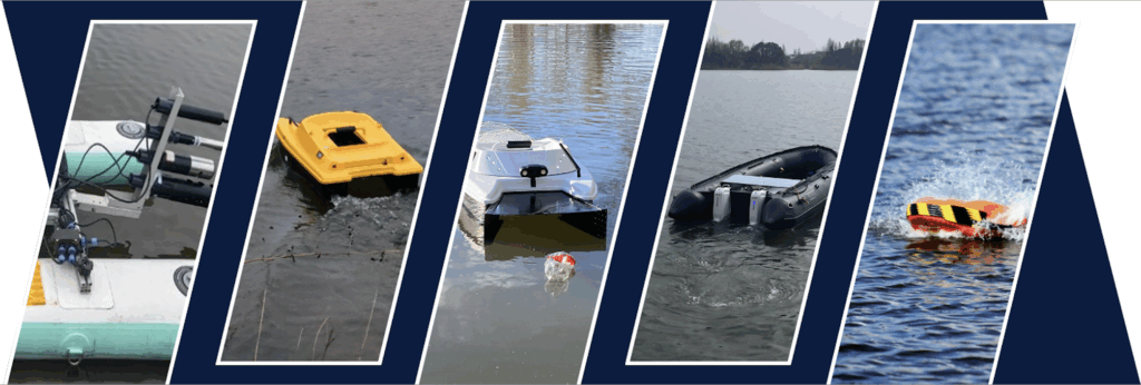
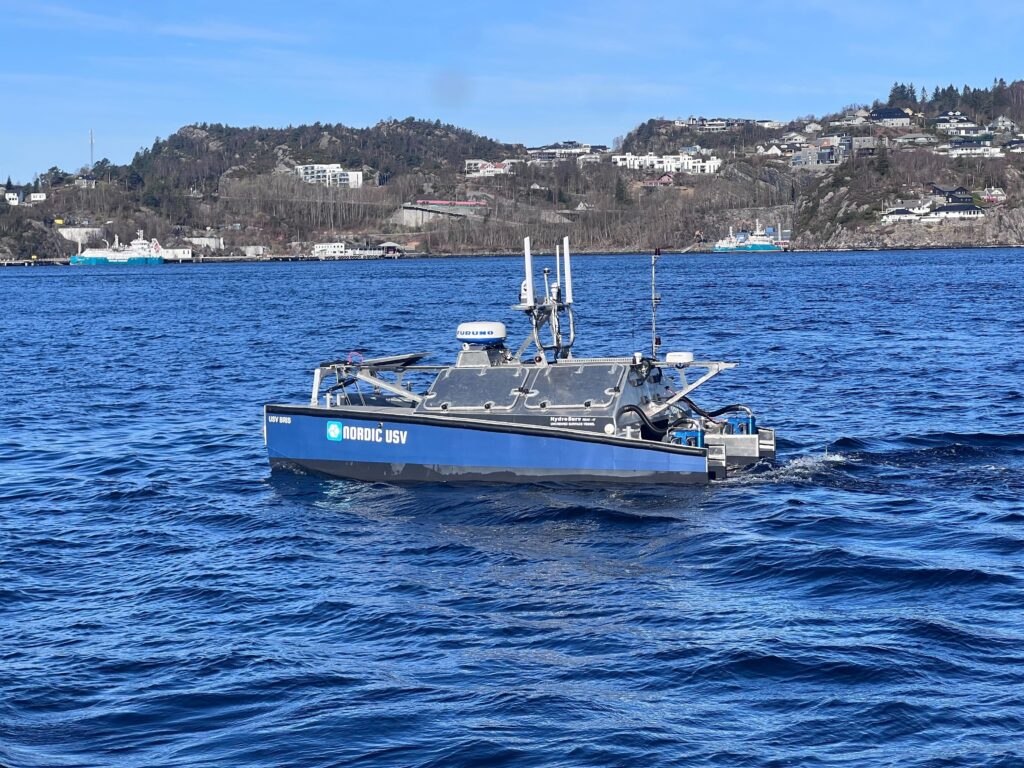
The latest HydroSurv Unmanned Surface Vehicle (USV), the REAV-47, pairs Dynautics’ custom autopilot system with rim-driven thruster propulsion for advanced marine survey missions
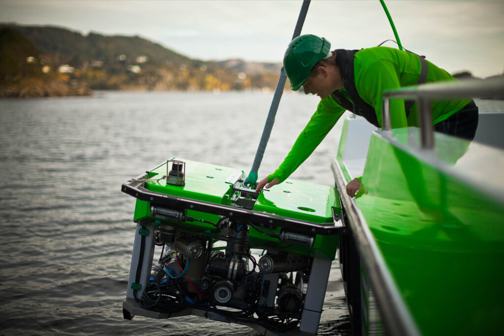
For more than a decade, applied acoustics' ultra-short baseline (USBL) systems and tracking beacons have been used by ROVas to provide reliable inspection data from Norway's fjords
The latest offshore, subsea & marine technology news, straight to your inbox.
Get our weekly roundup of technology developments, new products and industry news.
THANK YOU FOR SIGNING UP
Thanks for joining us. Check your inbox.
We've sent you an email. Click the confirmation link to complete your subscription to the weekly eBrief. In the meantime, explore the latest news, suppliers and technologies.


 Searching Companies & Products