Blue Marble Geographics, a developer of geospatial software solutions for marine, coastal and offshore mapping and surveying, explores episode 11 of the GEOTalks Podcast, where R&D Analyst Tiffany Wu and collaborators discuss aquatic vegetation research and mapping Common eelgrass in Casco Bay, Maine, using GIS software. Read more >>
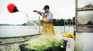
Aquatic vegetation, such as eelgrass, grows underwater and plays a vital ecological role. As a global carbon sink, eelgrass supports marine biodiversity by providing nutrients and shelter for lobsters, fish, and shellfish, key species in Maine’s economy. Declining eelgrass populations threaten these ecosystems and industries.
Wu’s master’s research aims to inform conservation and restoration strategies that enhance eelgrass resilience against climate change and human impacts.
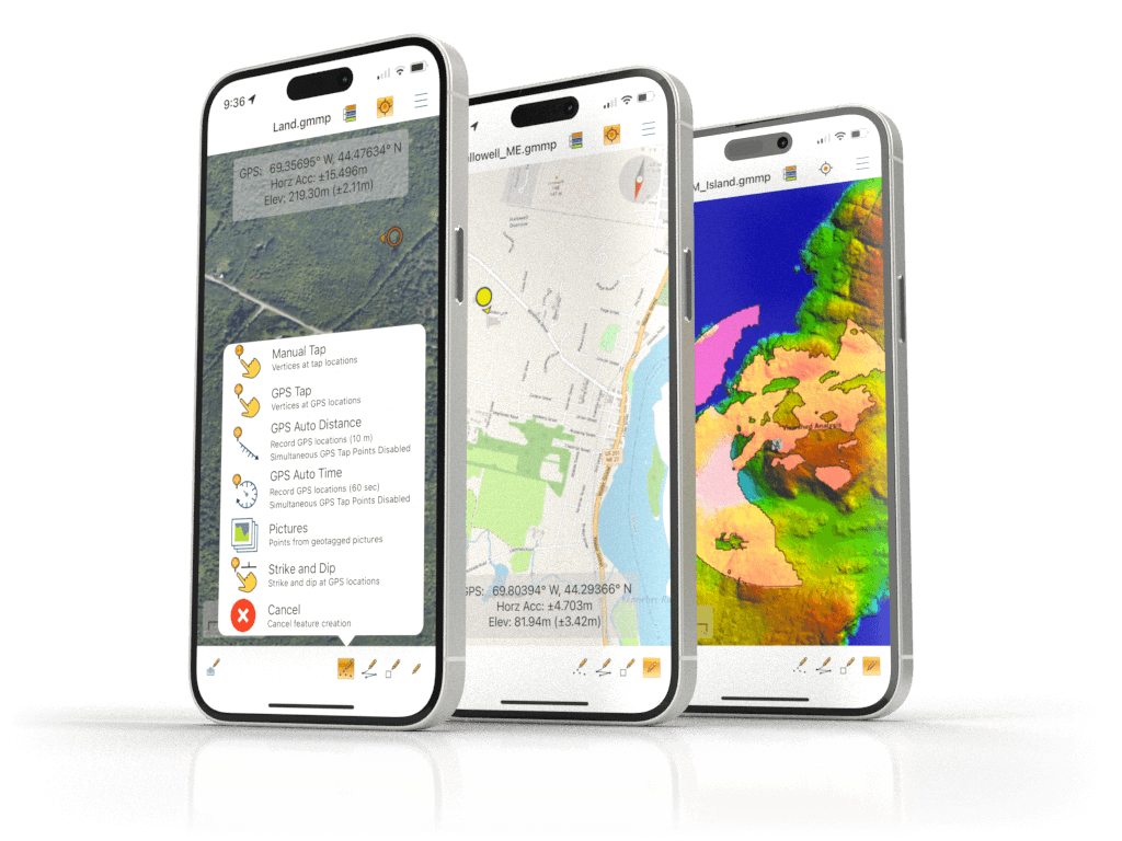
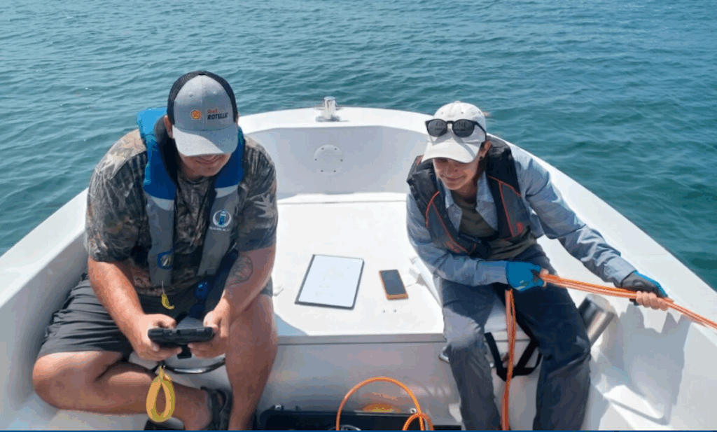
Using GIS tools, including Global Mapper Pro®, Wu mapped eelgrass distribution through a MaxEnt predictive model. She analyzed environmental covariates such as temperature, salinity, bathymetry, and turbidity to predict eelgrass presence. Global Mapper Pro was suited to process bathymetric data and analyze the subsea terrain.
Global Mapper’s robust spatial data processing and support for 380+ file formats enabled precise mapping, contour visualization, and change detection. This study highlights how GIS technologies advance environmental monitoring and conservation in coastal Maine.
To find out more information, read ‘Mapping Aquatic Vegetation in Maine’ here >>