LAUV Autonomous Underwater Survey Platform
Portable AUV platform with highly versatile payload capabilities
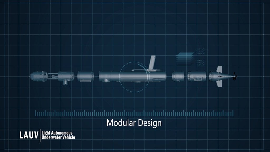
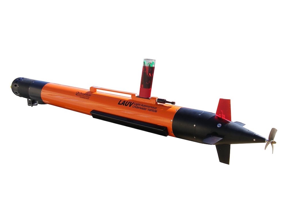
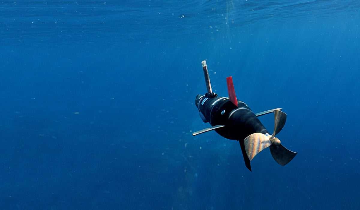
The LAUV is a lightweight, cost-effective platform that can be equipped for a wide range of underwater survey tasks. OceanScan-MST configures navigation, communications and payload modules during production to meet the end user’s requirements, with options for acoustic surveys, optical imaging and environmental measurements.
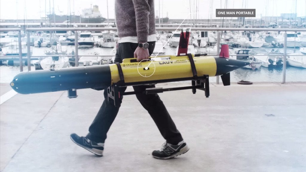
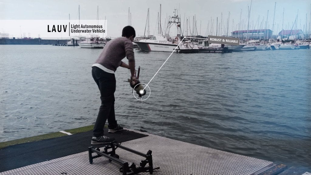
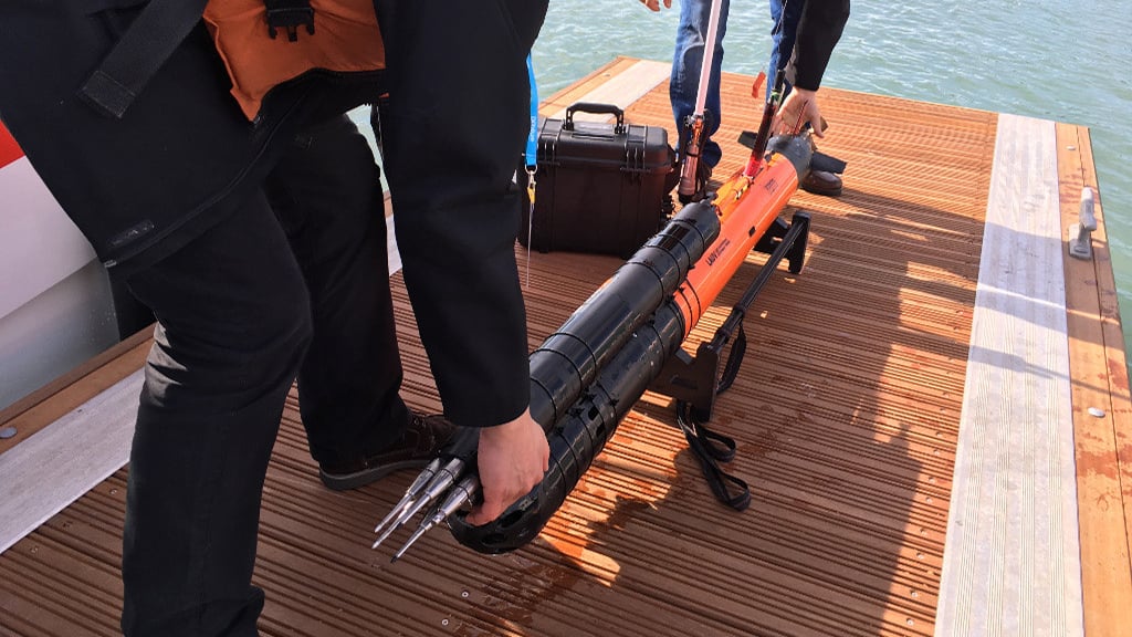
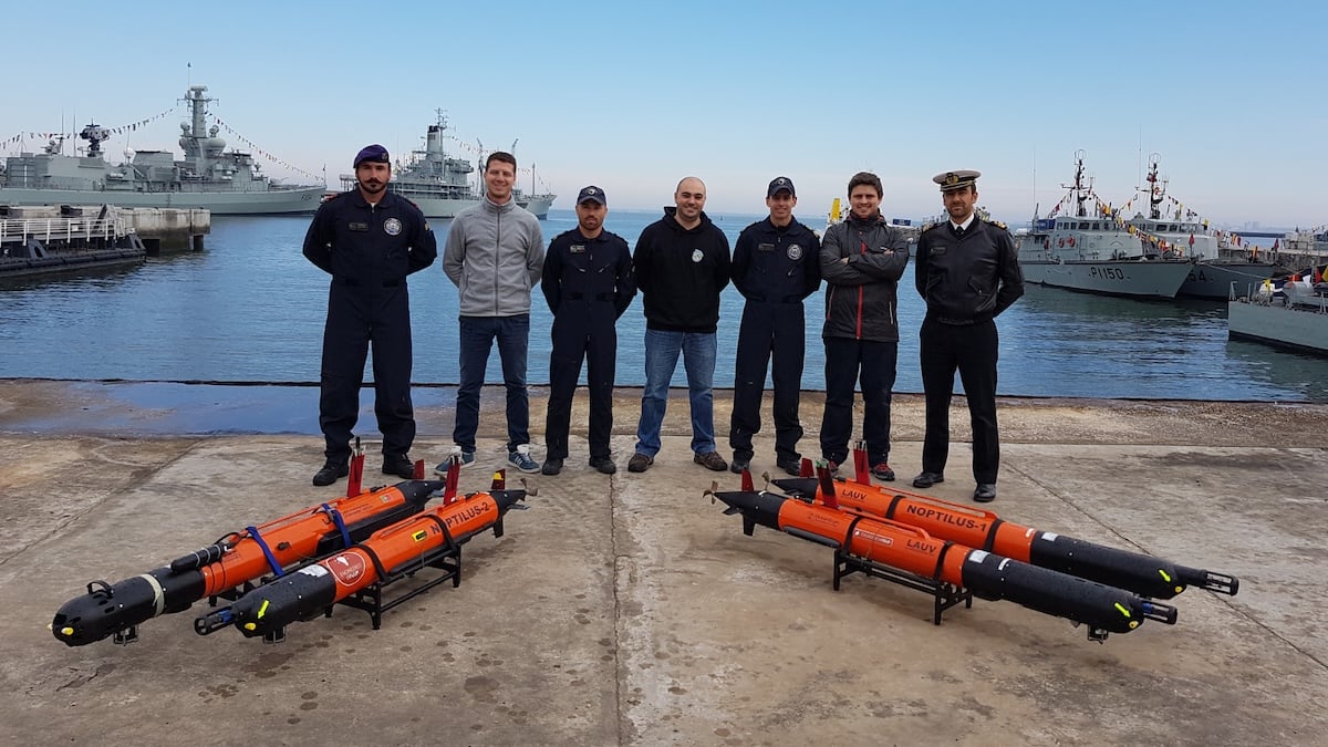
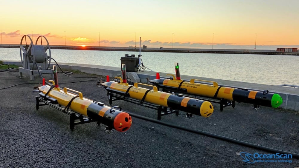
Designed for one-person deployment, operation and recovery, the vehicle can be launched from shore, a pier or a small boat without cranes or specialized tools. An external ballast rail allows users to adjust the vehicle for fresh or saltwater operations, while a laptop and portable communications hub provide a simple setup for one or more LAUVs.
Available with 100 m and 400 m depth options, the LAUV reaches speeds of up to 6 knots and provides a typical endurance of 8–12 hours at 3 knots.
Available with 100 m and 400 m depth options, the LAUV reaches speeds of up to 6 knots and provides a typical endurance of 8–12 hours at 3 knots.
Sonar and Underwater Imaging
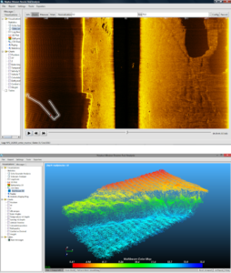 The LAUV accommodates a variety of acoustic and optical payloads, including side-scan sonar, multibeam echosounders, imaging sonar and synthetic aperture sonar. Micro-bathymetry and nadir gap-filling options are also available, alongside laser scanning and digital video cameras with LED illumination.
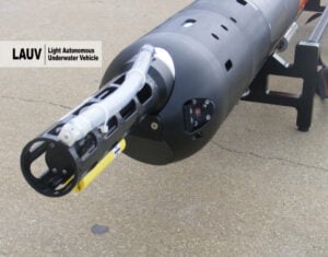
Sonar and sensor combinations can be selected for each system, allowing customers to tailor the survey payloads to their requirements. Forward-looking sonar provides obstacle detection, which is particularly useful when operating close to the seabed. The camera option uses illumination positioned away from the camera to reduce scattering and assist identification of underwater objects.
Oceanographic and Environmental Sensors
 For water-column measurements, the LAUV can integrate CTD, sound velocity, turbidity, pH and dissolved oxygen sensors. Additional options cover chlorophyll, CDOM/FDOM, fluorescein, rhodamine WT and oil sensing, with instruments available from a range of manufacturers.
More specialized configurations can incorporate MicroRider instrumentation for turbulence microstructure measurements, digital holographic particle imaging, magnetometers or hydrophones. Current profiling is available on request with all DVL options.
The open-source LSTS software toolchain allows users to add custom sensors, algorithms and vehicle behaviors, providing flexibility for operations and research programs with different instrumentation needs.
Navigation and Communications
Standard navigation capabilities include GPS, AHRS and depth sensing. Optional DVL, tactical-grade inertial navigation, LBL, USBL and RTK capabilities provide additional configuration choices, and a tactical-grade FOG IMU option reduces positional drift during dives.
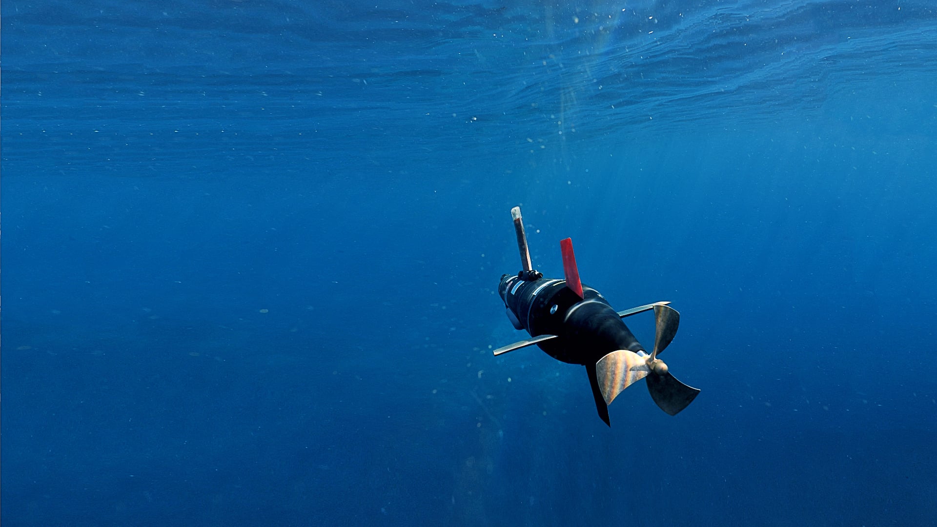
Wi-Fi and 5G cellular connectivity provide surface communications, with optional Iridium satellite messaging for worldwide coverage. Underwater, an acoustic modem enables the LAUV to exchange messages with the communications gateway or other vehicles.
Survey Planning and Operations
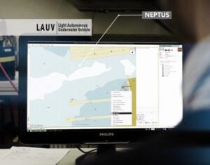 OceanScan-MST’s Neptus command and control software runs on a standard or rugged computer and covers configuration, mission planning, simulation, execution and post-mission analysis. Its operator console and mission review and analysis tools provide interfaces for running surveys and reviewing the collected data, with the ability to operate one or multiple LAUVs.
For local control, the LAUV Remote smartphone app enables teleoperation and status checks. Operators can also connect a joystick to the computer running Neptus.
Manta Communications Gateway
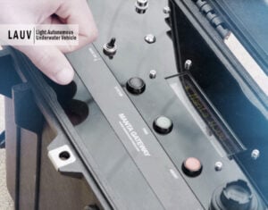 The battery-powered Manta gateway connects operators and vehicles through wireless and acoustic communications. Its portable, waterproof enclosure allows installation on a buoy or operation from an open vessel such as a RHIB.
Manta can incorporate extended-range Wi-Fi, an acoustic modem, cellular and Iridium communications, and a GPS receiver. Gateway position can be displayed on the mission map during vessel-based operations, and multiple operators can monitor and control multiple vehicles within the network.


 verified
This business has been claimed by OceanScan-MST and verified by OS&T.