






Nortek Signature ADCPs
XEOS Data Relay
partner with OST
Leading Global Suppliers

Multibeam Echosounders & Multibeam Sonar Systems

Multibeam Echosounders (MBES) are active acoustic systems that map the seabed by transmitting sound across a wide swath and forming multiple narrow receive beams. They support hydrographic surveying, bathymetric mapping, water-column imaging, offshore engineering and subsea inspection from survey vessels, USVs, AUVs, ROVs and towed platforms.

This page showcases leading multibeam echosounder manufacturers, offering configurations including hull-mounted, portable, and pressure-rated multibeam sonar systems.

Read the Technology Overview

Multibeam Echosounder Manufacturers & Suppliers

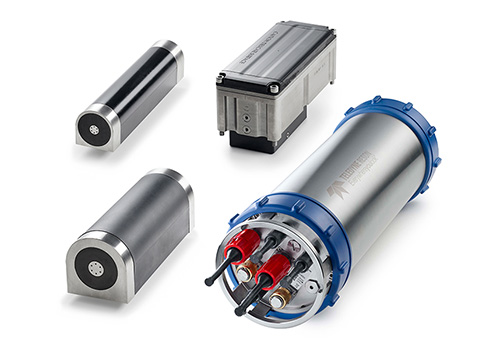
Teledyne Marine
Teledyne Marine

High-Performance Instruments, Sensors & Technologies for Exploring & Monitoring Subsea Environments

Cerulean Sonar
Cerulean Sonar

Cutting-Edge Underwater Imaging & Positioning Solutions for Subsea Exploration

NORBIT Subsea
NORBIT Subsea

Cutting-Edge Multibeam Sonar Solutions for Marine & Subsea Applications

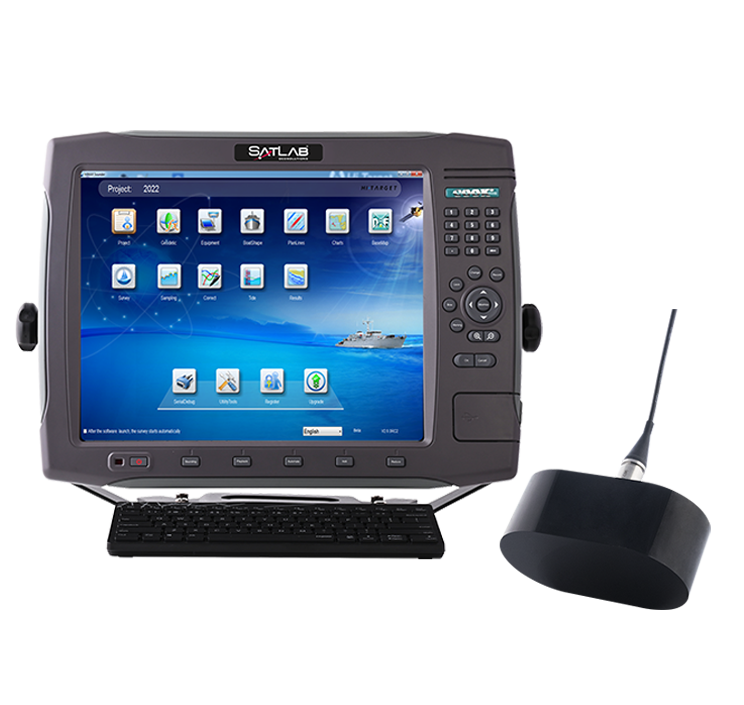
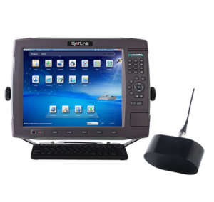
SatLab Geosolutions
SatLab Geosolutions

Cutting-Edge Surveying, Positioning & Sensing Solutions for Hydrographic & Oceanographic Applications

Tritech
Tritech

Subsea Sonar Equipment for Navigation & Target Acquisition

Kongsberg Discovery
Kongsberg Discovery

AUVs for Environmental Mapping & Monitoring

Neptune Sonar
Neptune Sonar

Transducer Technology for Marine & Subsea Applications

EchoLogger
EchoLogger

Sonar Products for Underwater Monitoring

BioSonics, Inc
BioSonics, Inc

Hydroacoustic Solutions for Aquatic Ecosystem Monitoring

Showcase your capabilities

If you design, build or supply Multibeam Echosounders, create a profile to showcase your capabilities and connect with visitors who have an active requirement for your solutions.


Create Supplier Profile

Multibeam Sonar & Echosounders

11 Cutting-edge Solutions
Add your solutions
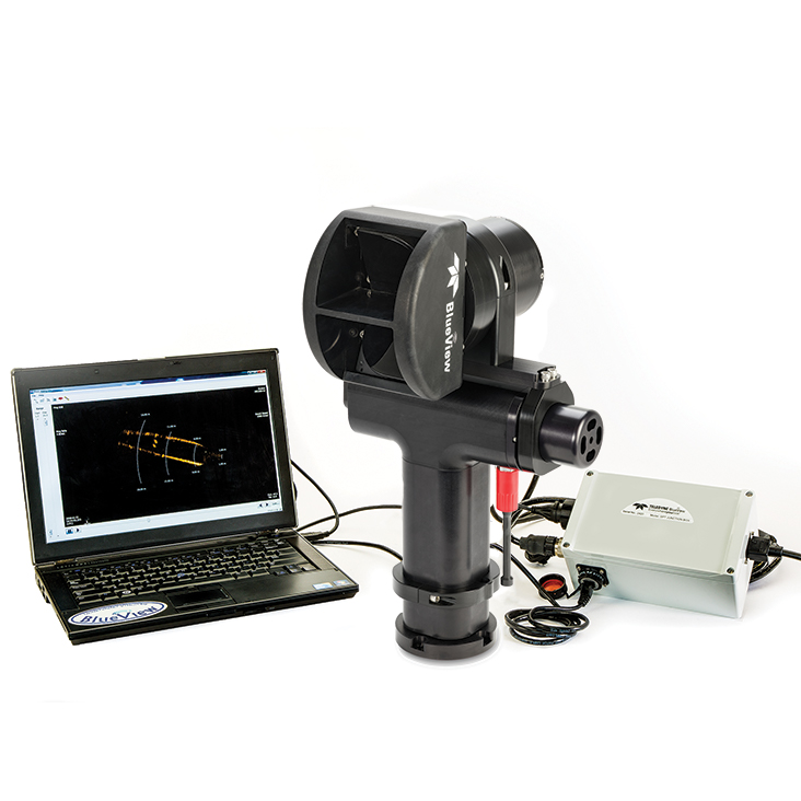
BlueView BV5000 MK2 3D

An advanced 3D multibeam scanning sonar for high-resolution underwater imaging

An advanced 3D multibeam scanning sonar for high-resolution underwater imaging
...an advanced 3D multibeam scanning sonar designed to deliver high-resolution underwater imaging for a... ...d surveys, the sonar excels in underwater inspection, infrastructure assessment, marine archaeology,...
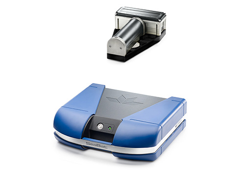
SeaBat Shallow Water Multibeam E​​chosou​nders

Shallow Water Multibeam Echosounders for Seabed Mapping

Shallow Water Multibeam Echosounders for Seabed Mapping
...eatures 800kHz sonar, 350-430kHz lower frequency range, autonomous AI sonar controls, and an... ...stant portable sonar processor capable of time tagging typical support sensors. Features a sonar...
HydroSweep & SeaBat Medium Depth Multibeam Echosounders

Medium Depth Multibeam Echosounders for Seabed Mapping

Medium Depth Multibeam Echosounders for Seabed Mapping
... recording, 4x multi-ping operation, 960 soundings per ping, 320 receive beams per ping, and water... ...... high density equi-distant beams, beam uncertainty measurement, variable swath coverage, and...
HydroSweep Deep Water Multibeam Echosounders

Deep Water Multibeam Echosounders for Seabed Mapping

Deep Water Multibeam Echosounders for Seabed Mapping
...eep Deep Water Multibeam Echosounders are designed for mapping seabeds in deeper ocean areas, up to... ...of 11,000m, 2x multi-ping operation, 320 receive beams per ping, 960 soundings per ping, 10,000...
Surveyor 240 MBES
Surveyor 240 MBES

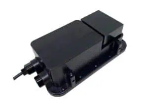
Compact & high-accuracy 240 kHz multibeam echosounder

Compact & high-accuracy 240 kHz multibeam echosounder
Cerulean Sonar's Surveyor 240 is a compact and cost-effective 240 kHz multibeam echosounder that is...
NORBIT WINGHEAD X
NORBIT WINGHEAD X

Customizable Ultra-High Resolution Multibeam Sonar System

Customizable Ultra-High Resolution Multibeam Sonar System
...BIT WINGHEAD X multibeam sonar system delivers flexible, ultra-compact, and modular performance for... ...BIT WINGHEAD® sonar system provides full frequency agility between 200 kHz and 700 kHz, generating...
NORBIT WBMS X
NORBIT WBMS X

Ultra Compact Wideband Multibeam Sonars

Ultra Compact Wideband Multibeam Sonars
...ate-of-the-art multibeam sonar system engineered for unparalleled high-resolution bathymetric data... ...mpact Wideband Multibeam Sonars high resolution bathymetric system. The WBMS X series is designed to...
Depth-Rated Systems
Depth-Rated Systems

Advanced Sonar Solutions for Subsea Vehicles

Advanced Sonar Solutions for Subsea Vehicles
...ORBIT provides sonar solutions that improve situational awareness, navigation, object detection, and... NORBIT WBMS multibeam echo sounders are built around an ultra-compact, curved-array design,...
NORBIT FLS
NORBIT FLS

High Performance Wide Band Multibeam Sonars for Imaging

High Performance Wide Band Multibeam Sonars for Imaging
...s cutting-edge multibeam sonar technology designed for high-resolution imaging, obstacle detection,...
ES-224
ES-224

Dual-frequency echosounder for depth measurement

Dual-frequency echosounder for depth measurement
The ES-224 echo sounder features dual-frequency operation, making it ideal for high-precision measur...
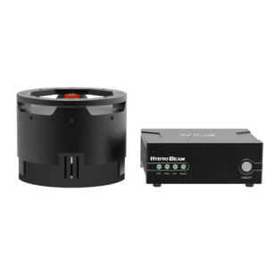
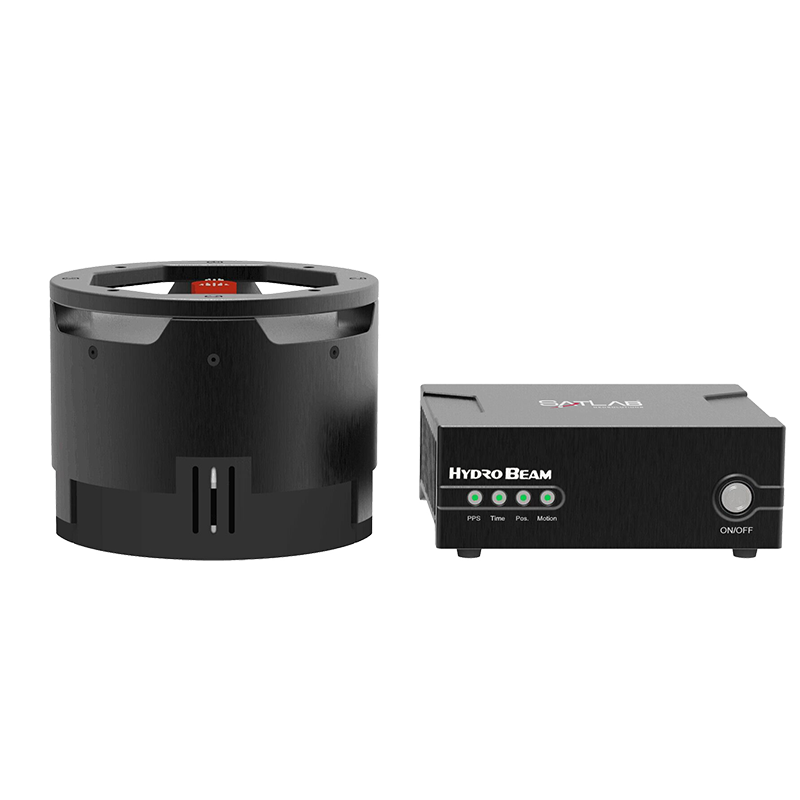
HydroBeam M4
HydroBeam M4

Compact high-precision multibeam echosounder

Compact high-precision multibeam echosounder
The HydroBeam M4 is a lightweight and portable multi-beam echosounder that can be easily integrated...

The Complete Guide to Multibeam Echosunders & Multibeam Sonar Technology

William Mackenzie

Updated:

Introduction to Multibeam Echosounders

A Multibeam Echosounder (MBES) is an active acoustic instrument that maps the seabed by transmitting sound pulses across a wide, fan-shaped sector. Unlike a single-beam sounder, a modern multibeam echosounder system forms multiple narrow receive beams to map a broad corridor of seafloor in a single pass. The system measures the two-way acoustic travel time and arrival angle of the reflected pulse. When integrated with positioning, heading, motion, and sound velocity data, these soundings produce a georeferenced three-dimensional representation of the underwater terrain.

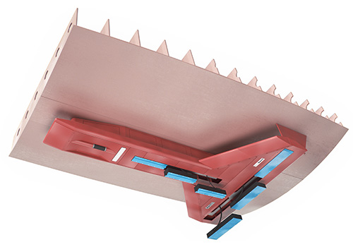
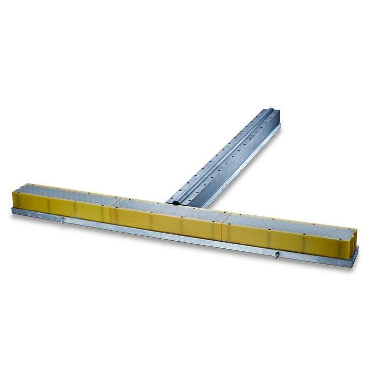
Most modern multibeam sonar systems rely on the Mills Cross geometric array, which uses perpendicular transmit and receive line arrays to isolate small, highly focused areas on the seafloor. To ensure accurate depth measurements, the system must continuously monitor Surface Sound Velocity (SSV) at the transducer face for real-time beam steering. Additionally, a full Sound Velocity Profile (SVP) must be collected to perform ray tracing, which corrects for refraction as acoustic waves bend through varying water layers.
Core Applications of Multibeam Echosounders

Hydrographic Surveying and Subsea Mapping

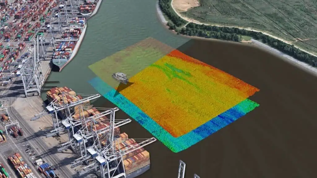
Conducting a multibeam hydrographic survey provides continuous, high-density seafloor coverage that is typically superior to legacy single-beam methods. This comprehensive coverage allows hydrographers to reliably identify navigation hazards, marine wrecks, dredging irregularities, and localized debris.

For nautical charting and subsea engineering, a multibeam bathymetric survey must establish definitive least depths while strictly quantifying measurement uncertainty. This process requires treating positioning, motion compensation, and sound velocity profiling as primary, integrated components of the measurement architecture rather than secondary metadata.

Water-Column Imaging

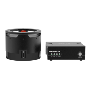
HydroBeam M4 High-Precision Multibeam Echosounder by SatLab Geosolutions

HydroBeam M4 High-Precision Multibeam Echosounder by SatLab Geosolutions

By retaining acoustic backscatter samples from the entire water column rather than just the bottom return, a multibeam sonar system can perform advanced imaging. This capability is vital for identifying gas seeps, rising bubble plumes, and suspended infrastructure like mooring lines. Marine operators also rely on this data to locate the upper sections of complex wrecks where bottom-detection algorithms might otherwise lock onto the lowest return or the surrounding seafloor.

Ocean Science and Marine Research

In marine research, multibeam bathymetry provides the foundational structural framework to interpret geological, chemical, and biological observations. Regional deep-water mapping surveys delineate vast tectonic structures and deep canyons, while near-bottom platforms resolve fine-scale geomorphic features like localized sediment waves. These highly detailed maps are essential for planning target-specific ROV dives, choosing scientific core-sampling locations, and deploying long-term seafloor monitoring instruments.

Environmental Monitoring and Habitat Mapping

Multibeam sonar mapping supports environmental management by characterizing physical terrain complexity, slope, and rugosity. Acoustic backscatter data serves as a proxy for substrate composition, helping researchers differentiate between rock, gravel, sand, and mud. Because acoustic data alone cannot produce a definitive classification, researchers use physical grab samples and drop-camera video to ground-truth and validate their habitat models.

Offshore Energy and Subsea Engineering

In offshore energy, a multibeam survey is utilized throughout the lifecycle of wind farms, oil installations, and subsea utility corridors. This technology is crucial for pipeline route planning, monitoring rock-dumping operations, and inspecting structures for scour. High-frequency multibeam scanning sonar systems also provide real-time situational awareness, allowing ROV pilots to safely navigate and manipulate structures in low-visibility environments.

Multibeam Echosounder Configurations

Selecting the correct structural arrangement is essential for achieving the required survey resolution and operational efficiency.

  • Hull-Mounted Systems: These permanent installations offer maximum physical stability and eliminate the need for frequent sensor recalibration.
  • Pole-Mounted and Over-the-Side Systems: Ideal for temporary deployments, these systems provide high flexibility on vessels of opportunity but require careful calibration to eliminate motion errors.
  • Portable Multibeam Survey Systems: Portable multibeam echosounder packages enable rapid deployment on small craft and tactical vessels for shallow water operations.
  • Subsea and Pressure-Rated Multibeam Sonars: Built to withstand extreme depths, these pressure-rated units are integrated onto ROVs and AUVs to collect high-resolution data close to the seafloor.
  • Forward-Looking Multibeam Sonars: These systems project acoustic energy ahead of the vehicle to assist with active obstacle avoidance and target imaging.
  • Profiling and Imaging Multibeam Systems: These specialized systems, including 3D multibeam scanning sonar, prioritize high-speed acoustic visualization or high-accuracy profiling of vertical structures like quay walls.

These mechanical configurations allow surveyors to adapt their acoustic instrumentation to the specific physical constraints of the deployment platform.

Key Multibeam Echosounder Performance Parameters

Understanding the core operating specifications of a sonar system is vital for planning a successful multibeam echosounder survey.

  • Operating Depth and Maximum Range: Sonar frequency dictates operational depth, with low frequencies used for deep-ocean mapping and high-frequency shallow water multibeam sonar optimized for high-resolution coastal work.
  • Number of Beams and Beam Density: High-density sounding modes generate multiple independent depth measurements per beam to maximize data coverage.
  • Beamwidth and Angular Resolution: Narrower physical beamwidths isolate smaller seafloor footprints, providing sharper target separation.
  • Swath Coverage and Maximum Sector Angle: A wider sector increases coverage efficiency, but oblique outer beams are more susceptible to refraction errors and noise.
  • Depth Accuracy and Repeatability: Achieving high accuracy requires a precise calibration routine known as a patch test to resolve angular offsets between the sonar head and the motion sensor.
  • Ping Rate and Vessel-Speed Limitations: The maximum ping rate is physically limited by the speed of sound and water depth, which directly dictates the maximum allowable vessel speed to prevent gaps in coverage.

These parameters must be balanced carefully to meet the data density and accuracy requirements of international hydrographic standards.

Emerging Developments in Multibeam Sonar

Recent technological advancements are transforming how marine operators collect, process, and utilize acoustic seafloor data.

  • Wider Swaths and Higher Beam Counts: Advanced array designs and processing electronics allow systems to map wider sector angles without compromising sounding accuracy.
  • Multi-Swath and Multi-Ping Operation: These systems transmit multiple acoustic pulses simultaneously to maintain high along-track sounding density at faster transit speeds.
  • Improved Broadband Signal Processing: Broadband technology enables multispectral backscatter surveying by switching active frequencies to generate highly detailed sediment and habitat classification maps.
  • Real-Time Cloud-Connected Surveying: Edge processing and cloud platforms allow offshore systems to stream processed terrain data to onshore experts for near-real-time quality control.

These cutting-edge innovations continue to reduce the need for manual post-processing while delivering higher-quality mapping products faster than ever before.

Related Articles

DEA Adopts Teledyne Marine’s Dual Head System

Teledyne Marine’s SeaBat T51-R Integrated Dual Head system reaches an early US adoption milestone as David Evans and Associates takes delivery following its Oi2026 launch

Jul 16, 2026
Partnership to Map Deep-Ocean Terrain Using Multibeam Echo Sounder Technology

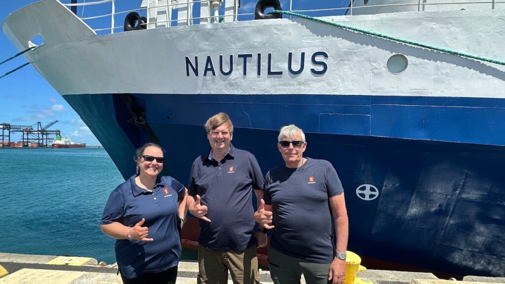
KONGSBERG and the Ocean Exploration Trust's deep ocean expedition is deploying advanced multibeam echo sounder technology to map uncharted seafloor terrain while testing new engineering innovations under demanding conditions

Jun 22, 2026
Teledyne Advances Integrated Ocean Sensing at SeaSEC DATA2SEA 2026

Teledyne Marine supported real-time multi-sensor integration trials for monitoring critical underwater infrastructure during the DATA2SEA challenge

Apr 29, 2026
Oi 2026: Teledyne Marine Showcases Latest Systems & Advanced Survey Technologies

OST visited Teledyne Marine at Oceanology International 2026 in London, where the company showcased sonar, navigation, oceanographic, and autonomous survey technologies

Mar 16, 2026
Teledyne Marine Demonstrates Autonomous Survey Integration

Teledyne Marine outlines its collaboration with Zero USV, demonstrating how uncrewed surface vessels and high-precision sensing technologies support ocean data collection and automated hydrographic workflows with real-time data visualisation

Mar 13, 2026
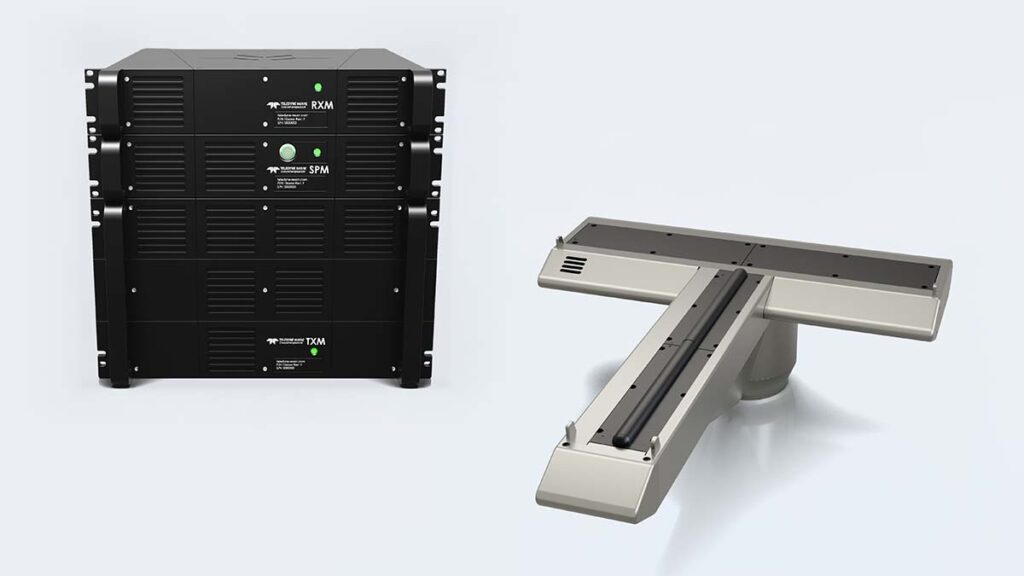
Teledyne Marine Unveils SeaBat D100 Deepwater Multibeam Sonar

Teledyne Marine introduces the SeaBat D100 deepwater multibeam sonar ahead of Oceanology International 2026, combining high-resolution seabed mapping with a compact design for flexible deployment on vessels and unmanned surface platforms

Mar 12, 2026
Oi26 Interview: GeoAcoustics on the New GeoMB 402 Multibeam Echosounder & the Future of Acoustic Surveying

Speaking with OST at Oi 2026 in London, GeoAcoustics Chief Commercial Officer Richard Dowdeswell outlines the company’s expansion into beamforming multibeam systems and discusses how acoustic survey technology is evolving

Mar 11, 2026
New EM2042 Multibeam Variants Target Subsea & Naval Missions

Kongsberg Discovery expands its EM2042 multibeam echosounder range with two new variants for subsea vehicles and naval platforms, showcasing the systems at Oceanology International in London

Mar 11, 2026
Teledyne Marine to Debut New SeaBat T51 Integrated Dual Head Systems at Oi26

Teledyne Marine introduces the SeaBat T51 Integrated Dual Head system to enhance seabed mapping efficiency for surface vessels and deepwater ROVs

Mar 09, 2026