The Global Sourcing Hub for Marine, Subsea & Offshore Technology
Discover cutting-edge solutions from leading global suppliers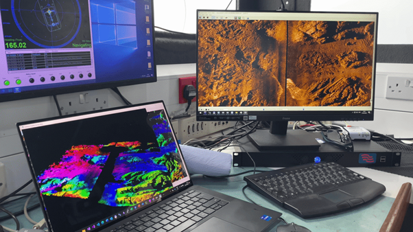
Forcys is using its Solstice Multi-Aperture Sonar (MAS®) to map, characterize and monitor subtidal seagrass across Plymouth Sound, UK. Surveys undertaken with the system have demonstrated its ability to distinguish seagrass from surrounding seabed, identify previously undocumented beds, measure changes over time, support habitat suitability modeling and record localized damage.
The work addresses a need for accurate, repeatable information on the distribution and condition of Zostera Marina. Seagrass provides a range of ecosystem services, making knowledge of its location and extent relevant to wider UK efforts to use nature-based approaches in support of the government’s Net Zero emissions target for 2050. Mapping must therefore define established beds while also identifying areas where additional seagrass may be present.
Wide-Area Seagrass Mapping with Solstice MAS
Following sea trials that indicated Solstice MAS could effectively image subtidal seagrass, surveys were conducted across Plymouth Sound in October 2023 and August 2024. The objective was to evaluate the sonar for broad-area seagrass and ecosystem mapping.
For these surveys, Solstice MAS was installed on a compact, shallow-draft survey vessel and operated across multiple seagrass beds. The system produces georeferenced seabed imagery and bathymetric data, with the ability to capture seabed areas as small as 1.5 cm x 3.75 cm. It can map areas starting at 1 m², with no defined upper limit on overall survey coverage.
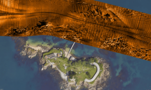
Within the sonar imagery, seagrass presents a clearly identifiable texture that differs from features including rock, sand waves and kelp. This distinction allows bed boundaries and internal variations to be identified across substantial areas.
In Plymouth Sound, seagrass occurs at depths shallower than 5 m. Some beds extend between rocky reefs and toward the low-water mark, creating challenges for techniques such as drop cameras and echo sounders that require a vessel to pass directly above the area being examined.
Solstice MAS provides a 100 m range capability, allowing the survey vessel to remain in deeper offshore water while imaging seagrass among rocks and shallow areas up to 100 m away. This enables coverage of locations where direct vessel access may be difficult.
The sonar is designed to operate at survey speeds reaching 6 knots and can achieve seabed coverage of up to 1.6 km², equivalent to 160 ha, per hour. A 1,300 m-long seagrass bed in Plymouth Sound, for example, can be mapped in approximately nine minutes. Data can subsequently be processed and examined ashore using standard sonar processing software, reducing the vessel time required for analysis.
Unlike conventional side scan sonar, Solstice image quality is not dependent on tow speed. Poor underwater visibility also does not affect the sonar’s operation.
Read “Seagrass Mapping Using Solstice” on the Forcys website to find out more about the Plymouth Sound surveys.