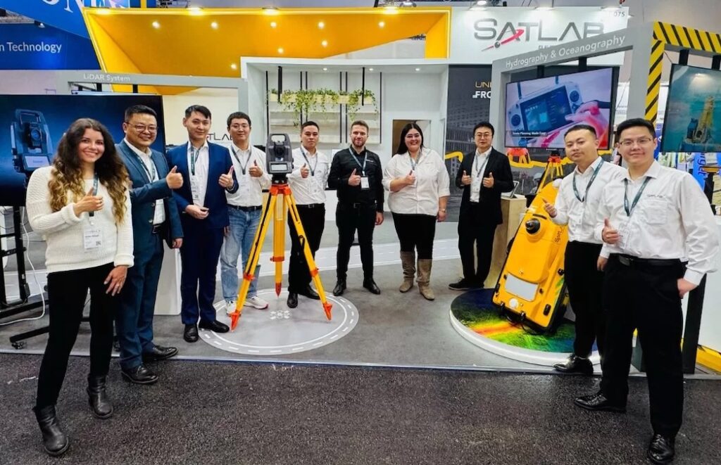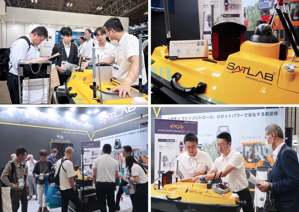
SatLab Geosolutions recently exhibited its latest innovations across the full spectrum of geospatial solutions at CSPI-EXPO 2025, held from June 18–21 in Chiba, Japan.
Over four days, SatLab engaged with a diverse audience of professionals, demonstrating how its integrated hardware and software offerings help streamline workflows and improve accuracy across complex projects.
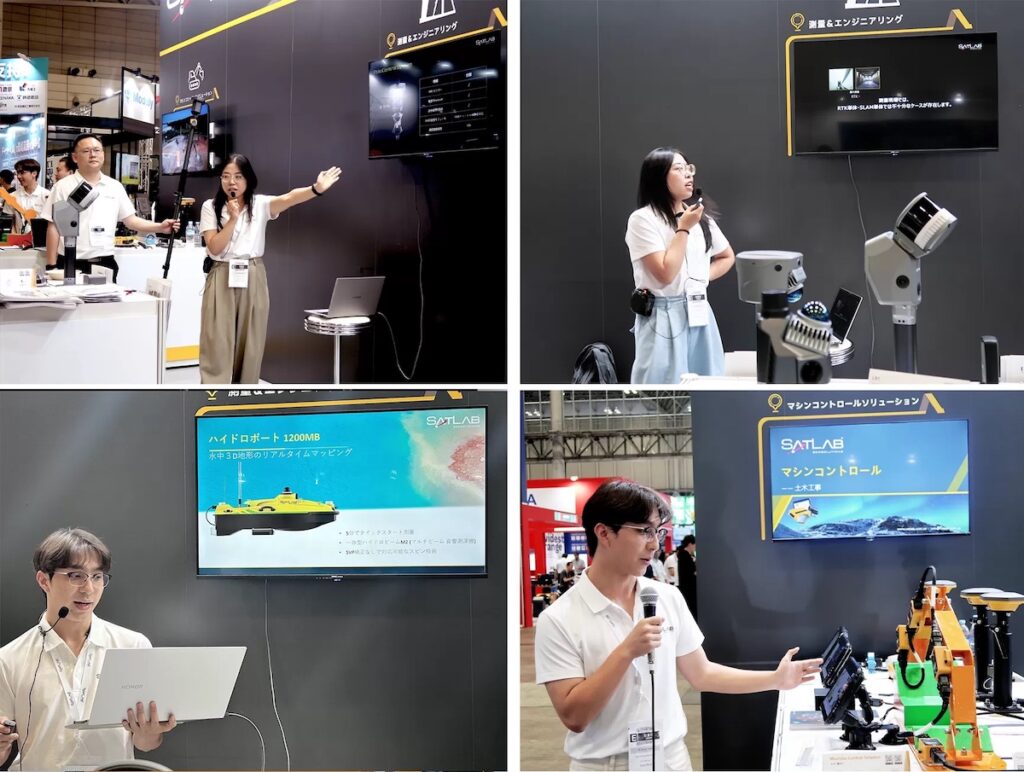
The SatLab booth featured a broad lineup of intelligent solutions tailored for marine surveying and construction challenges:
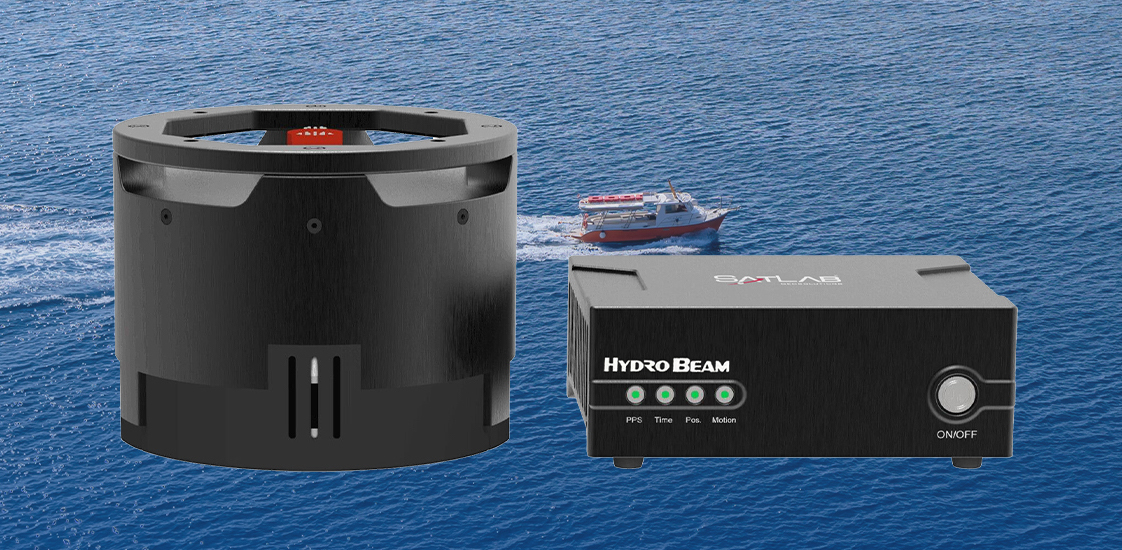
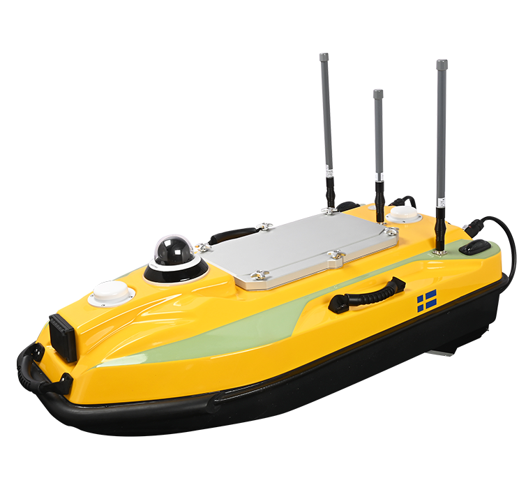
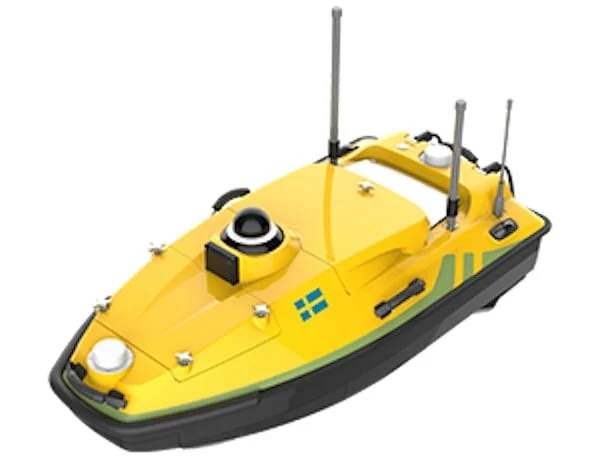
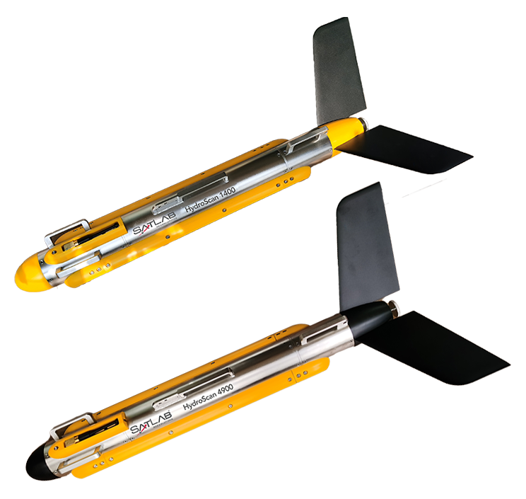
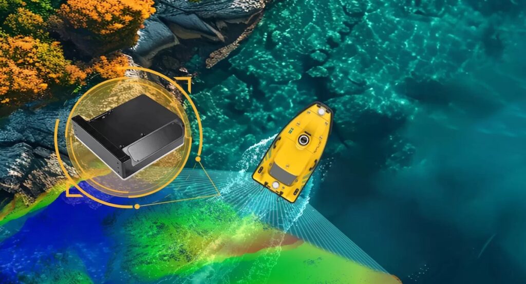
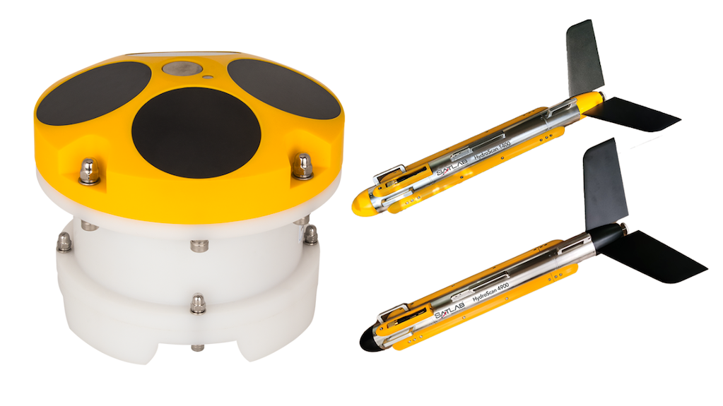
HydroBoat 1200MB USV Multibeam Solution
This fully integrated unmanned surface vehicle (USV), equipped with the HydroBeam M2 echo sounder, enables fast, high-resolution multibeam surveys in inland and nearshore waters.
SP200 Site Pilot
The SP200 transforms surveying with AI-driven auto-tracking, guiding design points from CAD to the field for efficient single-person operation. With quick setup, 360° AI tracking, and an intuitive Android touchscreen, it is ideal for construction layout and machine guidance.
SL9 SLAM RTK and LS1 SLAM Scanner
These complementary technologies provide reliable positioning and detailed 3D scanning even in GNSS-challenged environments such as tunnels and indoor areas.
ECS Series Machine Control Solutions
A range of intelligent control systems for excavators, bulldozers, graders, and piling rigs. Powered by SatLab’s SatMC onboard software and a centralized cloud platform, these systems support real-time guidance, enhance precision, and optimize earthmoving operations.
Engaging Demonstrations & In-Depth Sessions
Throughout the expo, SatLab hosted a series of in-booth sessions and live demonstrations. Attendees gained hands-on experience and valuable insights into how its solutions drive measurable improvements both on-site and in project management across surveying, construction, and hydrographic applications.