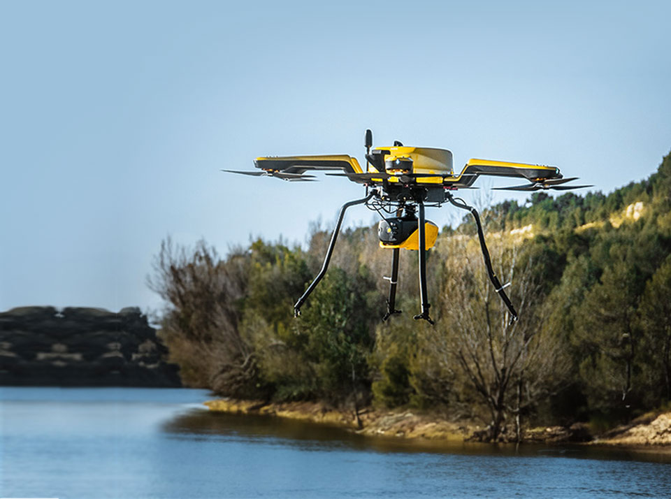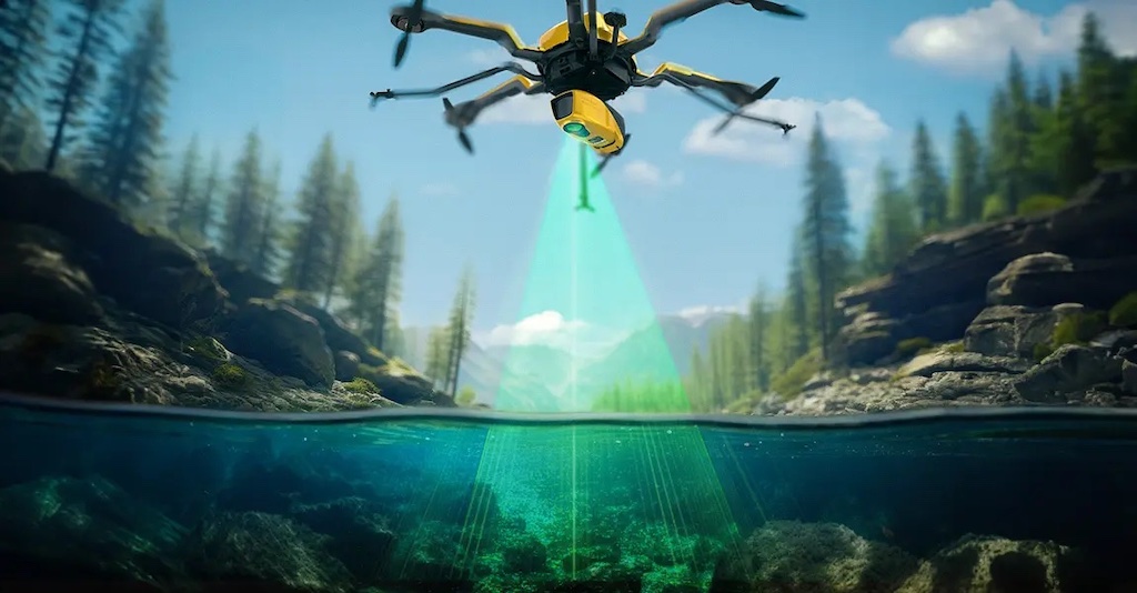
YellowScan, in collaboration with its Australian distributor Sphere Drones, recently demonstrated the capabilities of the YellowScan Navigator in a coastal survey project. Read more >>
The mission, conducted near Port Beach, was designed to show that the system could be rapidly deployed for accurate bathymetric mapping in real-world conditions. The survey targeted an artificial reef located approximately 200 meters offshore, with objectives including operational efficiency and detection of underwater structures.
Demonstration Objectives
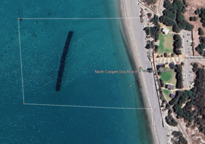
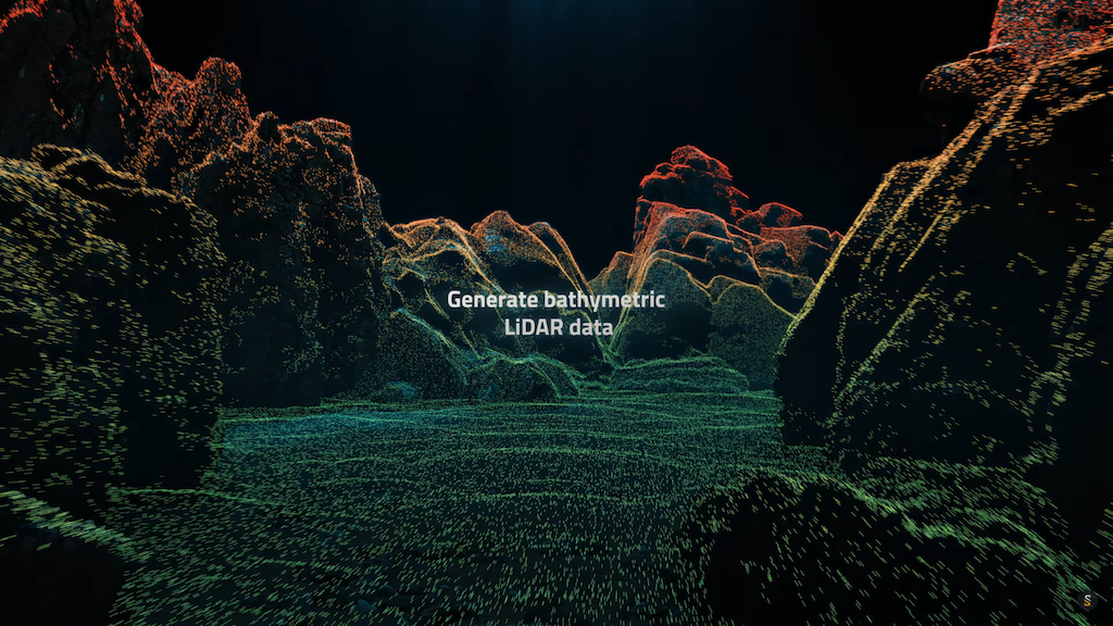
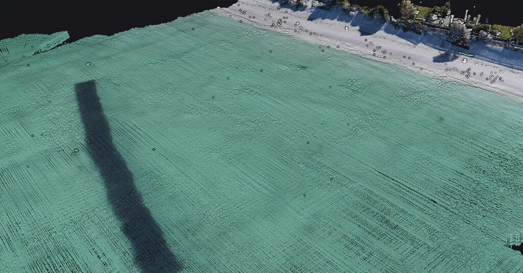
Aerial view showing the artificial reef beneath the water surface.
The trial sought to validate several key performance criteria:
- Rapid deployment: Ability to mount the system on a drone and be airborne within minutes, meeting the demands of a narrow flight window at a busy public beach.
- Subsurface mapping: Capture of reef geometry and identification of objects below the surface despite turbid winter waters.
Safe operation in public areas: Conduct operations around beachgoers without requiring restricted access zones. - Comparison with traditional methods: Deliver same-day three-dimensional results, unlike diver surveys or boat-based sonar, which are slower and subject to tides.
System Integration and Workflow
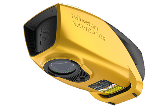
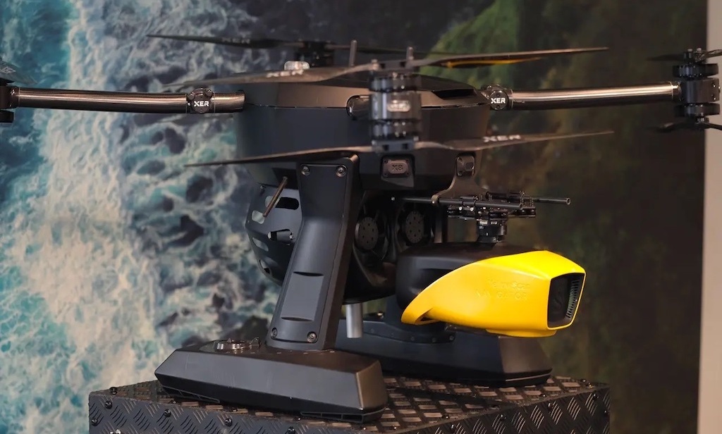
The YellowScan Navigator, paired with an RTRobotics drone, was chosen for its compact form, embedded camera, and streamlined workflow. The complete mission, including setup, flight, and data processing, was completed in less than four hours:
- 10 minutes for setup and planning
- 10-minute single flight covering the full reef grid
- Under 3 hours for processing in CloudStation Ultimate and TerraSolid
Despite a high-traffic environment, the workflow ran smoothly, confirming both the ease of deployment and the ability to deliver accurate bathymetric results under real-world constraints.
Mission Parameters
- Survey area: 2.56 hectares
- Flights: 1
- Altitude and speed: 70 meters AMSL at 5 m/s
- Acquisition and processing times: 10 minutes and 3 hours (CloudStation + TerraSolid)
- Equipment used: YellowScan Navigator with embedded camera, RTRobotics drone, CloudStation Ultimate, TerraSolid
Survey Results
The 10-minute flight provided a detailed dataset, achieving 47 points/m² density.
- Depth to seabed: 3 meters
- Depth to reef apex: 1.3 meters
Outputs clearly depicted the reef structure, individual modules, and surrounding sand ripples despite turbid water and limited setup time. Independent depth references showed accuracy within ±5 cm.
Additional Benefits Included
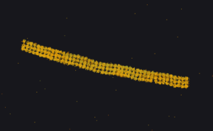
Pointcloud of the artificial reef.
The survey highlighted several operational benefits. Conducted on a busy public beach, the system completed data collection without disrupting public activity. The absence of divers, boats, or exclusion zones demonstrated the non-intrusive nature of the workflow, which is critical for work in areas with high levels of recreational use.
The approach also proved scalable. By incorporating additional perpendicular flight lines, point density and side coverage can be increased, supporting both routine monitoring and ecological studies. This flexibility makes the workflow suitable for projects that require repeatable and adaptable data collection.
Time efficiency was another key advantage. The process delivered accurate three-dimensional results on the same day, a clear improvement over diver-based surveys and boat-mounted sonar methods, which often require more time and are affected by tidal conditions.
Operators provided positive feedback on the system’s usability. They praised the intuitive workflow and CloudStation processing. Some compared the results with their own reference datasets and noted that the outputs demonstrated both accuracy and usability, reinforcing confidence in the system’s performance.
Conclusion
The Port Beach project confirmed that the YellowScan Navigator can provide reliable bathymetric mapping in nearshore environments, combining speed, accuracy, and minimal operational disruption. The system’s ability to produce detailed three-dimensional results in a short timeframe demonstrates clear advantages for coastal monitoring and research applications.