Robosys Automation, working alongside Vector Controls and Persistent Systems (PS), has showcased its Remote and Autonomous Control for Bridging and Rafting (RAC4BAR) capability during a recurring U.S. Army Manoeuvre Support and Protection Integration Experiment (MSPIX) at Fort Leonard Wood.
The demonstration addressed an Army requirement to explore solutions for crossing wet gaps.
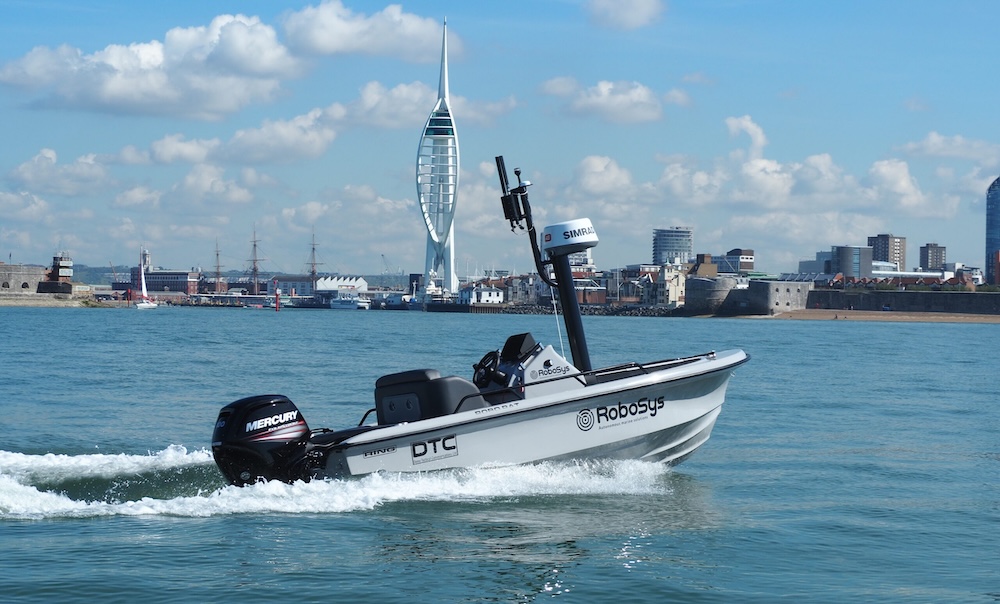
The RAC4BAR system was developed using an open architecture approach built on industry standards to retrofit an existing M30 Bridge Erection Boat (BEB), enabling remote command and autonomous operations. Nigel Lee, Chief Strategy Officer at Robosys, stated that the RAC4BAR system was designed to show various levels of command, autonomy and monitoring from different ranges in order to avoid personnel being exposed to danger. He noted that the RAC4BAR architecture was aligned with the US Modular Open Systems Approach (MOSA).
For the trial, Vector Controls converted the vessel’s propulsion and steering to fly-by-wire CANBus controls, allowing digital operation through an internet protocol (IP) network. A MILSTD computer was installed onboard to run the Robosys VOYAGER artificial intelligence (AI) autopilot software, supported by a mast-mounted PS MPU5 radio for network connectivity.
Additional onboard systems included two IP cameras for remote situational awareness, along with a GPS receiver and compass to provide position and heading data. A local IP-based Mobile Adhoc NETwork (MANET) was created using MPU5 radios and connected via Starlink to a PS secure CloudRelay server. A second MANET was positioned 6 km away and linked to CloudRelay through 5G, enabling connectivity between the networks and delivering a beyond-line-of-sight (BLOS) capability for data, video, and voice communications.
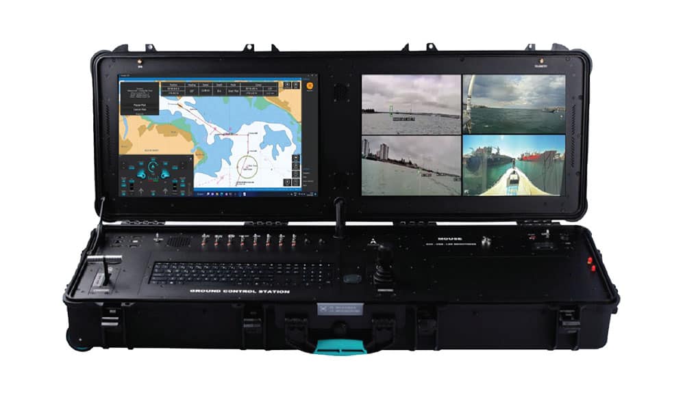
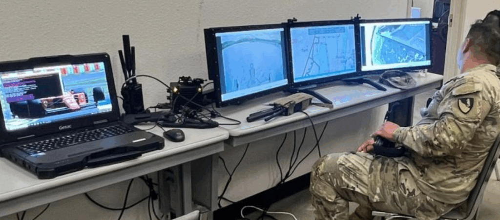
The BEB was operated from multiple control points. Line-of-sight control up to 500 m was achieved with a WiFi-connected waist pack, while a tablet connected via MANET provided non-line-of-sight control. Both control modes were used for local vessel berthing and unberthing. Ground control stations (GCS) equipped with the VOYAGER software were deployed both locally and at the 6 km site to provide BLOS operation, enabling route planning and waypoint-based autonomous navigation.
According to Lee, by the fourth day of testing, operators “were conducting 25-point autonomous navigation routes within the challenging confines of the lake.” At the same stage, an Improved Ribbon Bridge (IRB) module was coupled to the BEB, and system parameters were adjusted to account for the altered handling characteristics of the combined IRB-BEB configuration.