Remotely Operated Vehicles (ROV)
Discover cutting-edge solutions from 11 leading global suppliers
EIVA outlines how its Remotely Operated Vehicle (ROV) control and inspection software, NaviSuite Mobula, was applied in a DTU Aqua case study to support automated seabed mapping for marine habitat protection. Read more >>
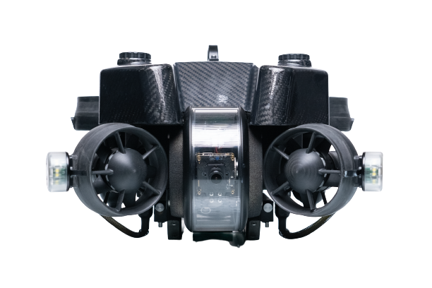
The project, led by senior scientist Jon C. Svendsen and master’s graduate Michelle Melin, focused on identifying biogenic mussel reefs in Danish Natura 2000 areas. Using a BlueROV2 Heavy ROV equipped with a Teledyne RD Instruments Wayfinder DVL and additional communication hardware, alongside NaviSuite Mobula Pro + Processing, the team established a complete survey platform integrating mission planning, vehicle control, and post-processing. An Academic Licence enabled evaluation of the software’s automated steering and inspection capabilities within a research context.
The system was tested through a structured survey campaign, beginning with controlled trials and progressing to field deployment over a known mussel habitat. Mission planning was conducted using the Lawn Mower Pattern tool within NaviSuite, allowing the operator to define a 50 x 50 m survey area and adjust runline spacing and orientation to account for environmental conditions such as current direction.
During operations, the ROV executed the planned route using the Follow Route automated steering mode, while the user interface displayed real-time data including positioning, depth, altitude, and video feeds. This configuration enabled consistent altitude control and systematic coverage, reducing the need for manual piloting and improving data reliability.
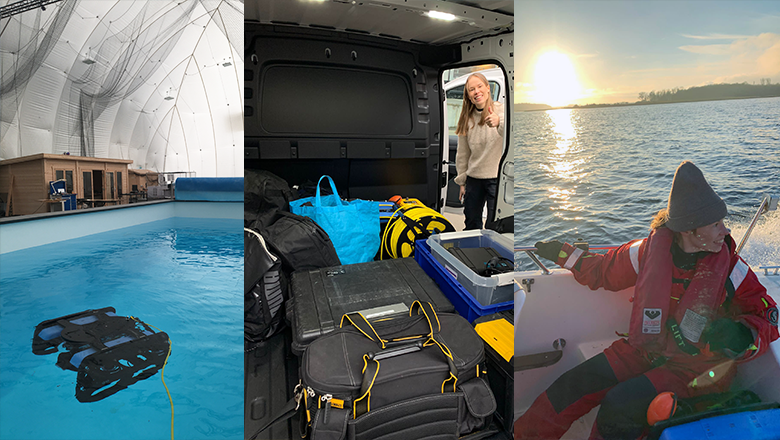
Pictures from testing at DTU’s autonomous systems test arena (left), transporting the equipment (centre) and setting sail for testing the setup at a mussel reef (right).
In a single 22-minute dive, the setup was used to map more than 2,500 m2 of seabed, meeting one of the key criteria for classification as a biogenic reef. The collected data was processed in NaviModel, where video outputs were converted into still images for analysis. Two approaches were evaluated: interpolation of mussel coverage values derived from individual images within a GIS framework, and the generation of a full photo mosaic to support visual interpretation of seabed composition. These methods enabled evaluation of mussel coverage against the 30 percent criterion.
The DTU Aqua team is continuing to refine the methodology with the aim of expanding it into a citizen science initiative. The concept involves volunteers, including local fishermen, conducting ROV surveys to collect data for expert analysis. The project suggests that combining ROV inspections with other survey techniques such as sidescan sonar, snorkelling observations, or local knowledge can improve efficiency by defining survey boundaries in advance, while ROV imagery provides the detail required to confirm mussel presence and evaluate habitat criteria.
To find out more information, read ‘Case study – DTU Aqua’ here >>