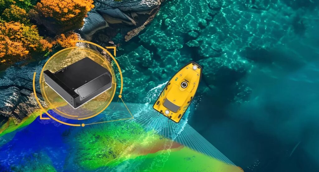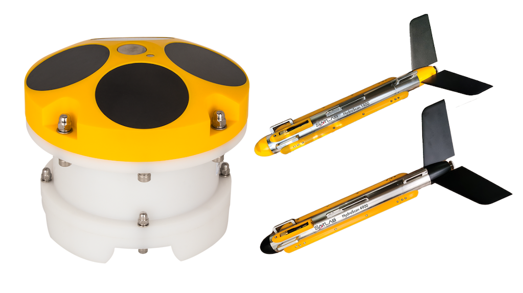
The Apus-MX UAV LiDAR system by SatLab Geosolutions has played a key role in a recent disaster risk assessment project in Sichuan Province, China, where intense summer and autumn rainfall triggered multiple debris flow events.
These fast-moving geological hazards are common in mountainous areas, especially during flood seasons when heavy storms, prolonged precipitation, and snowmelt significantly increase slope instability.
In response to these conditions, a detailed aerial survey was commissioned to evaluate geomorphological changes, vegetation coverage, and hydrological features in two high-risk areas spanning nearly 1 km² in total. The survey aimed to support early warning systems and disaster prevention strategies through high-resolution data collection.
Operating in rugged, forested terrain with elevation differences exceeding 1,000 meters presented significant challenges. Traditional ground-based methods were impractical due to accessibility issues, dense vegetation, and steep slopes. Instead, SatLab’s Apus-MX LiDAR system, mounted on a DJI Matrice 350 RTK drone, was deployed for its ability to handle the altitude and environmental demands while delivering high-accuracy results.
The project utilized a ground-proximity flight approach over three missions to ensure comprehensive coverage. The Apus-MX system demonstrated outstanding performance, collecting dense point cloud data with an average density of 127 points per square meter. Even under thick forest canopy, the system captured continuous and reliable ground points with an accuracy exceeding 2 cm.
Data processing was completed using SatLab’s Sat-LiDAR software, which enabled efficient generation of DEMs, DSMs, contour lines, and terrain classification outputs. The software also provided automated tools for data validation, strip adjustment, and volumetric analysis using multi-phase TIN grids—critical for understanding terrain changes in debris flow zones.
With a measurement range of up to 1,200 meters and a laser pulse rate of 550,000 shots per second, the Apus-MX UAV LiDAR system proved to be a powerful solution for high-resolution surveying in extreme environments. It delivered vital geospatial data to support disaster analysis, planning, and mitigation efforts, whilst improving safety and efficiency.
To see the full technical breakdown and project insights, read the complete case study here >>


