


Multibeam Echosounders
Discover cutting-edge solutions from 10 leading global suppliers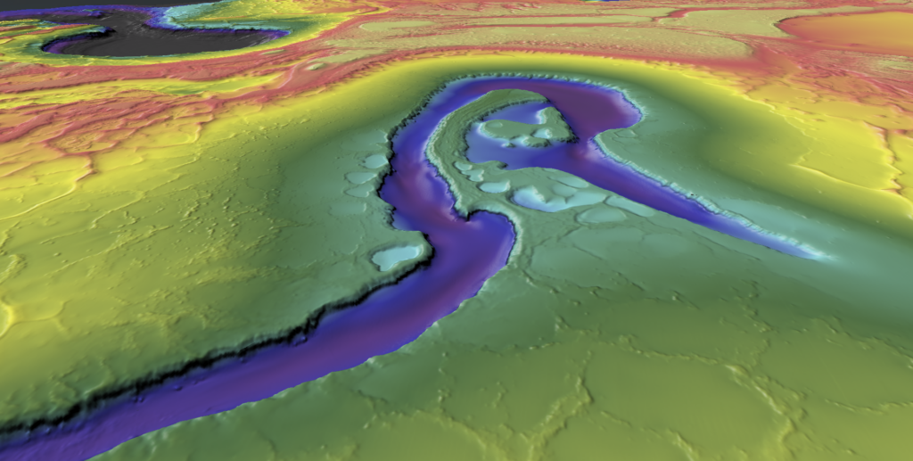
The Norwegian Hydrographic Service (NHS) has awarded Fugro a new hydrographic survey contract for the 2023 MAREANO seabed mapping program.
This is the latest in a series of contracts that Fugro has won for the MAREANO program, and the company believes it demonstrates a long-standing commitment to champion sustainable development in the marine environment.
Supported by the Central Government of Norway, MAREANO is a multidisciplinary initiative aimed at mapping the seabed to generate scientific information for the responsible management and preservation of Norway’s marine resources. According to Fugro, it has been actively involved in the program since 2006 and has acquired over 142,000 km2 of data.
The 2023 survey will cover a region in the North Sea, spanning 2,887km2, where water depths range between 140 and 335 metres. The primary goal of the survey is to gather high-quality, seamless datasets that integrate bathymetry and acoustic backscatter data to improve our understanding of the marine environment in the North Sea. This knowledge is essential for the sustainable development of new marine industries, such as offshore wind and offshore aquaculture, and for the protection of particularly valuable and vulnerable areas (SVOs) in the region.
Fugro’s survey vessel, equipped with advanced high-resolution, high-density multibeam echo sounders and sub-bottom data acquisition systems, will obtain comprehensive marine Geo-data for the Norwegian mapping program. Fieldwork is scheduled to take place between July and late August this year.
Survey progress, including interim and final deliverables, will be accessible via VirGeo, Fugro’s web-based Geo-data engagement platform.
In addition to supporting the MAREANO program, Fugro is also a major contributor to two global ocean science initiatives: The United Nations Decade of Ocean Science for Sustainable Development (2021-2030) and The Nippon Foundation-GEBCO Seabed 2030 Project (Seabed 2030). These initiatives aim to fill the sizable gaps in ocean data to help reverse the cycle of decline in ocean health and support countries in creating improved conditions for sustainable development of the ocean.
As part of the MAREANO survey, Fugro will collect transit data for Seabed 2030, adding to the more than 2 million km2 of bathymetry data already collected for the project. This data will help to create a more complete and accurate map of the world’s ocean floor, which is said to be essential for understanding and managing ocean resources, protecting marine ecosystems, and mitigating the effects of climate change.
Nicolien Haasbroek, Project Engineer for NHS, said: “I am happy with Fugro as contractor. We have had good collaboration under former contracts. The weather in the North Sea can be challenging, and we experienced a lot of wind last year. However, I am hopeful that we will have calmer weather for the survey in July and August.”
Marc Kebbel, Fugro’s Service Line Director Hydrography for Europe and Africa, added: “We are pleased to continue supporting the MAREANO project, which reflects our team’s dedication to enhance the understanding of our marine environment. The program is aligned with Fugro’s values, and we are committed to providing high-quality Geo-data that advances scientific research and contributes to a sustainable and prosperous future for our oceans and communities.”


