Unmanned Surface Vehicles
Discover cutting-edge solutions from 8 leading global suppliers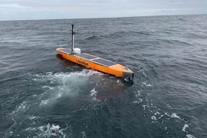
Heralding a new zero-carbon era for ocean observations, a wave-propelled uncrewed surface vessel (USV) has successfully recovered scientific data from a sensor moored 1,800 metres deep in the Rockall Trough.
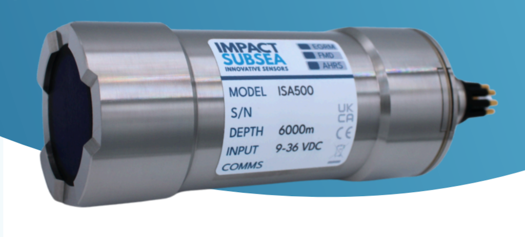
The USV, deployed by SAMS and manufactured by AutoNaut in the UK, remotely collected data from the Sonardyne Fetch AZA bottom pressure recorders (BPRs), before sending it back to oceanographers on shore via satellite.
Scientists say the successful mission is a step change in how oceanographic data is collected and reduces the reliance on ships for deep sea fieldwork.
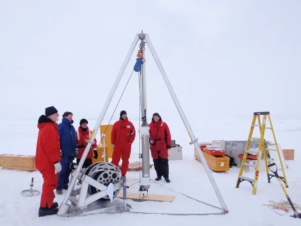
Last year SAMS deployed two BPRs on the seabed of the Atlantic Ocean: in the Rockall Trough, west of the UK, and in the Labrador Sea, east of Canada.
Based on the weight of the water above it, the instrument can detect a change in pressure that is the equivalent to a sea-surface height change of one centimetre.
By comparing the sea surface height on the western and eastern flanks of the Atlantic Ocean, oceanographers can calculate the speed and strength of vast ocean currents that dictate much of Earth’s climate.
As the BPRs will remain on the seabed for up to 10 years, the previously held expectation was that ship-based cruises would be the only way to remotely retrieve their data.
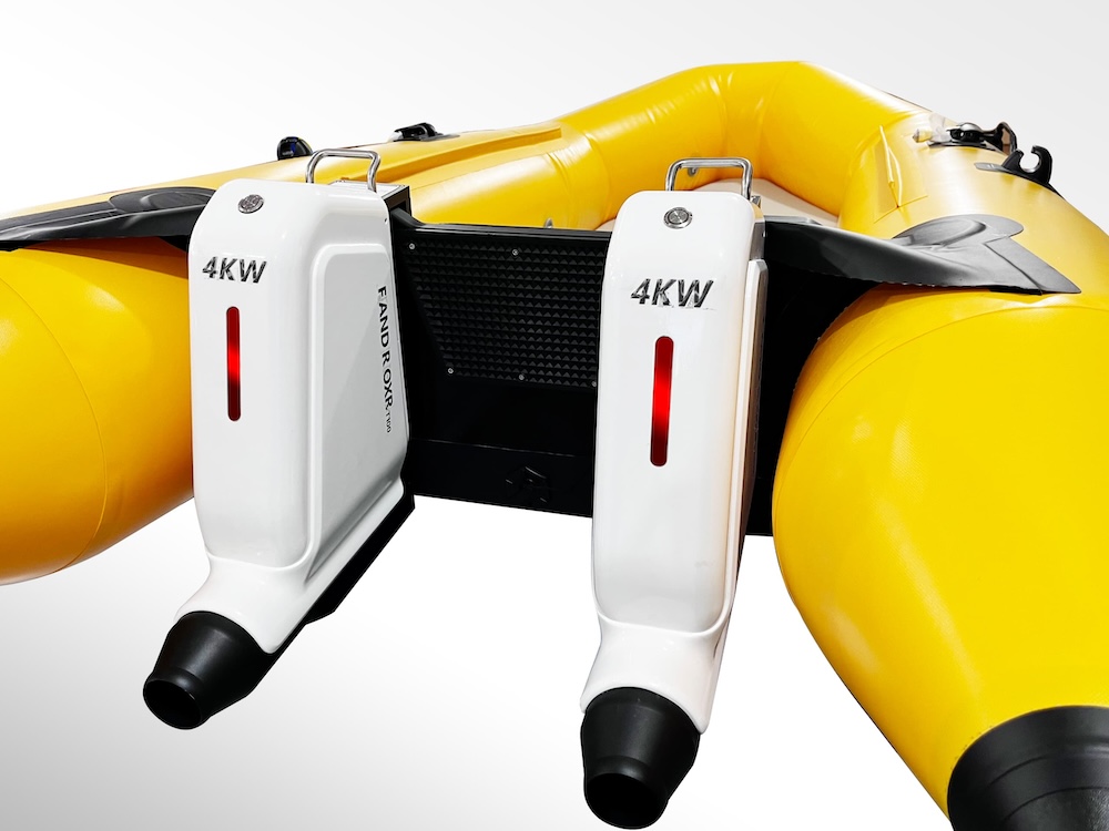
However, by equipping the five-metre AutoNaut USV, named Jura, with a Sonardyne HPT 3000 transceiver it was able to link to the acoustic through-water comms transmitter on the bottom of the mooring to successfully retrieve the data recorded so far.
After analysis of the data, scientists sent Jura back and over several days fine-tuned the calibration of the bottom sensor.
The mission was part of the Future Marine Research Infrastructure (FMRI) programme, funded by UK Research and Innovation’s Natural Environment Research Council (UKRI-NERC).
Through the FMRI programme, NERC is considering what mix of technologies (sustainably fuelled ‘green’ research ships, autonomous robots fitted with novel marine sensors and the digital infrastructure required to optimise its use) will be required in the next decade.
Extensive engagement with the science community, ongoing trials of new technology and early engagement with UK industry will be prioritised over the next 12 months.
Prof Mark Inall, an oceanographer SAMS, said; “This is an incredible achievement by the team at SAMS and our partners at AutoNaut and Sonardyne. We believe it is the first example of through-water communications of ocean climate research data to an autonomous vehicle, and instant transmission of data to shore.
“It has never been more important to have accurate and up-to-date measurements about what is happening in our ocean, which is undergoing major and rapid changes in the face of climate change.
“While traditional ship-based observations provide the most reliable data, such scientific cruises take some time to organise, are expensive and produce a large carbon footprint. This Autonaut mission feels like a major milestone for oceanography as it opens up a new way of collecting more data, more regularly, which is key to improving climate predictions and helping us to prepare for what the future may hold.”
AutoNaut founding Director Mike Poole said; “This is the first time in the 10 years of AutoNaut’s experience we have been asked can we get zero carbon data, not the cheapest data. It is a practical and positive response to climate change.
“As wave propelled USVs that are self-righting in the event of capsize, AutoNauts are well suited to very long endurance missions in the open ocean. Importantly, this will probably become much cheaper than sending manned, diesel-fuelled ships.”