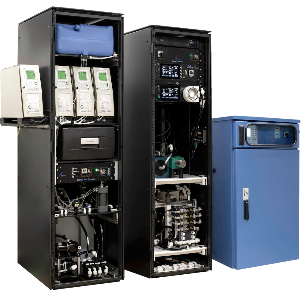
AI to Aid in Monitoring Coastal Water Quality

OSIL is using an AI modelling system to help predict coliform events using information collected by data buoy platforms By Abi Wylie / 03 Aug 2023

Nutrient Analysis

Discover cutting-edge solutions from leading global suppliers
SUPPLIER SPOTLIGHT
AI to Aid in Monitoring Coastal Water Quality
Follow OS&T

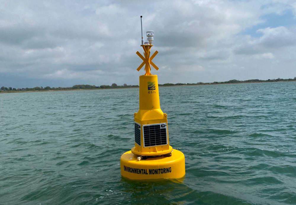
Ocean Scientific International Ltd (OSIL) have manufactured and deployed a self-contained 1.2m Tern data buoy platform to collect data for their predictive AI modelling system.

The data buoy is equipped with multiparameter water quality instrumentation, met sensors and GSM data telemetry system, and monitors local conditions for a range of parameters including coliforms, providing feedback on sedimentation, low oxygen levels, excess nutrients and effluent pollution.

The data is then validated externally by the collection of local water samples, all with the aim of improving predictions for high-coliform events.

Both the smart monitoring buoy data and the sample analysis data are then entered into an AI modelling system to look at developing specific indicators for coliform predictions, and are presented in a Graphical User Interface (GUI). 

The goal is to narrow the set of parameters that are needed to model predictions for high coliform events, thereby reducing the cost of monitoring and evaluating them and enabling systems to be deployed in more locations, longer term.

The project is being funded by Innovate UK, of UK Research and Innovation, in conjunction with the Department for Environment, Food and Rural Affairs (Defra) as part of a series of innovation projects that can improve the observation capabilities of the UK’s waters, leading towards improved assessment and evaluation of the status and risks to natural capital assets and marine biodiversity.

Posted by Abi Wylie Edited by Abigail Wylie, Editor and Copywriter experienced in digital media with a keen interest in ocean science technology. Connect

Latest Articles

Profile Spotlight: IQUA Robotics for Autonomous Underwater Survey & Inspection

IQUA Robotics is presenting its hovering AUV technologies on OST, providing precise, maneuverable platforms for subsea mapping, inspection, and reconnaissance

Nov 20, 2025
Precision Terrain Modeling & Hydrological Analysis with Global Mapper

Blue Marble Geographics’ Global Mapper enables Egis to streamline digital terrain modeling and hydrological analysis, enhancing data processing efficiency across large-scale environmental projects

Nov 20, 2025
Real-Time Vibration Analysis Embedded in SBG Systems IMU

SBG Systems’ IMU now features built-in vibration monitoring, delivering real-time analysis to enhance accuracy, detect resonance, and support design, testing, and structural monitoring

Nov 19, 2025
Kraken Robotics Forms Reseller Partnership to Expand Access to Subsea Sonar Technology

Kraken Robotics has appointed BlueZone Group as an authorized reseller of its SAS and KATFISH platform, offering high-resolution underwater imaging, bathymetric mapping, and rapid data collection for defense and commercial surveys in Australia and New Zealand

Nov 19, 2025
Monitoring Marine Environments with Pro-Oceanus Dissolved Gas Sensors

Discover how Pro-Oceanus Systems’ advanced sensors help explore the oceans, measure dissolved gases, and uncover critical insights into marine and climate processes

Nov 18, 2025
Strategic Partnership to Deliver High-Resolution Deep-Sea Seafloor Intelligence & Insights

PlanBlue and Orpheus Ocean have collaborated to integrate advanced AI-driven imaging with autonomous underwater vehicles, enabling enhanced monitoring and analysis of critical deep-sea environments

Nov 17, 2025

Featured Content

FarSounder Integration Delivers Real-Time Seafloor & Obstacle Detection to SYNAPSIS Users

FarSounder has integrated its Argos 3D Forward Looking Sonar with Anschütz’s SYNAPSIS navigation platform, bringing real-time subsurface insights directly into the (W)ECDIS NX interface

Nov 17, 2025
Boxfish ROV Captures Marine Research Footage for Upcoming Premiere

Scientists from the University of Tasmania used a custom Boxfish ROV to survey Beagle Marine Park, capturing underwater footage premiering on YouTube this November

Nov 12, 2025
SubC Imaging Observatory Camera Systems Support Long-Term Ocean Observation

SubC Imaging’s Observatory Camera Systems capture detailed subsea imagery for cabled ocean observatories, enabling continuous observation and long-term marine environmental studies

Nov 11, 2025