Woolpert Contracted for Hydrographic Survey, Bathymetric Data Collection in Alaska

The data will be used to support commercial fishing, shipping channels, coastal resilience, scientific research, and the Seabed 2030 collaborative project that aims to map the world’s ocean floor by 2030 By echoblue / 02 Jun 2023

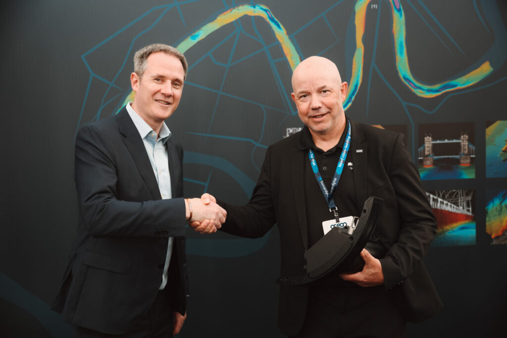
Connect with Leading Marine Technology Innovators

Discover cutting-edge solutions from leading global suppliers
SUPPLIER SPOTLIGHT
Woolpert Contracted for Hydrographic Survey, Bathymetric Data Collection in Alaska
Follow OS&T

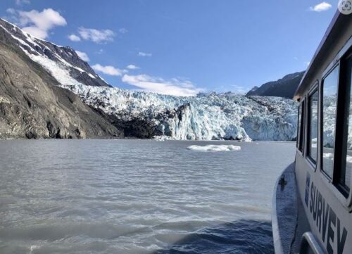
Woolpert has been awarded a $7 million contract by the National Oceanic and Atmospheric Administration (NOAA) to perform hydrographic surveying and bathymetric data collection in and around Nome, Alaska. 

Woolpert will collect data over 1,874 square nautical miles in Northern Norton Sound, which stretches from Golovin Bay through Nome to Cape Woolley on the eastern edge of Alaska. 

Nome is adjacent to the Bering Strait and central to America’s marine presence in the Arctic. The region serves as a major transit route for shipping traffic to the Port of Nome, which has supplied food, construction materials, equipment, and other goods for over 60 Alaskan communities for more than a century.

This data will be used to support commercial fishing, shipping channels, coastal resilience, scientific research, and Seabed 2030, a collaborative project that aims to map the world’s ocean floor by 2030.

Regional hydrographic data was most recently collected in the 1930s. This project will update National Ocean Service nautical charting products and services and will support the Seabed 2030 Project. This collaborative effort between the Nippon Foundation and the General Bathymetric Chart of the Oceans aims to integrate and share all available bathymetric data to produce a definitive map of the world’s ocean floor by 2030.

Woolpert has collected topographic, bathymetric, and hydrographic data in and around Alaska for decades and has an office in Wasilla. Multiple hydrographic survey vessels will be used to collect this data, including two large live-aboard ships and two Wave Adaptive Modular Vessels (WAM-Vs). The WAM-Vs will be used primarily in a force multiplication strategy in coordination with the larger vessels performing this work. 

“Hydrographic surveying in Alaska can be logistically challenging, and moving equipment requires a range of vehicles and aircraft,” Woolpert Certified Hydrographer Dave Neff said. “Local knowledge and relationships are highly beneficial for any project in Alaska. Our work over the years both as Woolpert and eTrac, a Woolpert Company, has given us the scope and confidence to cost-effectively execute, while managing inherent regional risk. We’re at home in Alaska, and we are excited to provide these needed data for Nome and all who rely on the region for goods and services.”

This project is scheduled to begin in June and is expected to conclude in September.

Posted by echoblue Connect & Contact

Latest Articles

Advanced Multibeam Sonar Technology Expands Capabilities in Offshore & Energy Sectors

Oceanscan Singapore expands its global rental fleet with the latest NORBIT multibeam sonar systems, enhancing survey capabilities for energy and offshore markets

May 01, 2025
AGISTAR Unveils Compact Remote-Controlled Motor for Inflatable Boats

AGISTAR has unveiled the OXR-T100, a compact, remote-controlled electric motor engineered for inflatable boats, delivering quiet, eco-friendly performance across demanding marine environments

May 01, 2025
AXYS Technologies MetOcean Observation Networks

AXYS Technologies supplies high-precision MetOcean data solutions that support marine safety, scientific research, environmental monitoring, and policy development across more than 80 countries

Apr 30, 2025
MostaTech to Launch Advanced Gyroscopes at XPONENTIAL 2025

MostaTech will present advanced fiber optic gyroscopes and inertial measurement units at XPONENTIAL 2025, highlighting advancements in low-SWaP, high-performance navigation technology

Apr 30, 2025
D-2 Ultra Low Power CTD Integrated into WHOI Arctic Research

D-2 Inc.’s advanced CTD sensor supports WHOI’s Arctic climate research, enhancing data precision in the Ice Tethered Profiler program’s latest deployments

Apr 30, 2025
Kraken Robotics Secures $11 Million in New Battery Orders

Kraken Robotics has received new orders for its SeaPower™ batteries, powering advanced uncrewed underwater vehicles (UUVs) and driving growth in the defense sector

Apr 29, 2025

Featured Content

D-2 Ultra Low Power CTD Integrated into WHOI Arctic Research

D-2 Inc.’s advanced CTD sensor supports WHOI’s Arctic climate research, enhancing data precision in the Ice Tethered Profiler program’s latest deployments

Apr 30, 2025
Case Study: Impact Subsea Altimeter Supports Antarctic Science

Impact Subsea's ISA500 underwater altimeter plays a key role in the Icefin AUV as it collects vital data, passing through narrow boreholes drilled into Antarctic ice shelves

Apr 23, 2025
Kongsberg Discovery Supplies Technology to Convert Sailing Ship into Research Vessel

Kongsberg Discovery has upgraded the Statsraad Lehmkuhl for the One Ocean Expedition, providing advanced systems to support climate and ecosystem research

Apr 17, 2025