


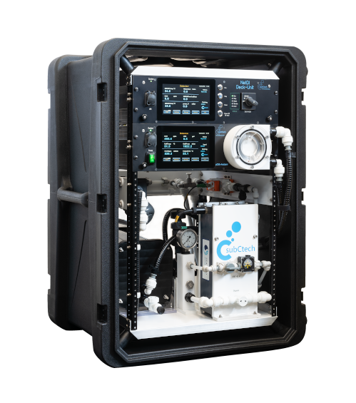
Nutrient Analysis
Discover cutting-edge solutions from leading global suppliers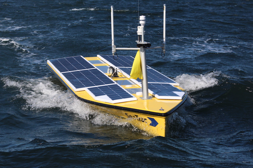
The University of Southern Mississippi (USM) and SeaTrac Systems have embarked on a 14-day mission to analyze potential hypoxia levels in the Gulf and its effect on the future of marine life.
Also known as dead zones, hypoxia zones are areas in which oxygen levels in water are decreased due to nutrient pollution caused by runoff rich in nitrogen and phosphorus.
Helping these zones regain levels includes decreasing nutrient levels through better agricultural practices, improving wastewater treatment, and watershed management strategies. Utilizing autonomous uncrewed vehicles and creating a sustainable U.S. Gulf Coast continues to be one of the main goals for USM and its partnership with SeaTrac.
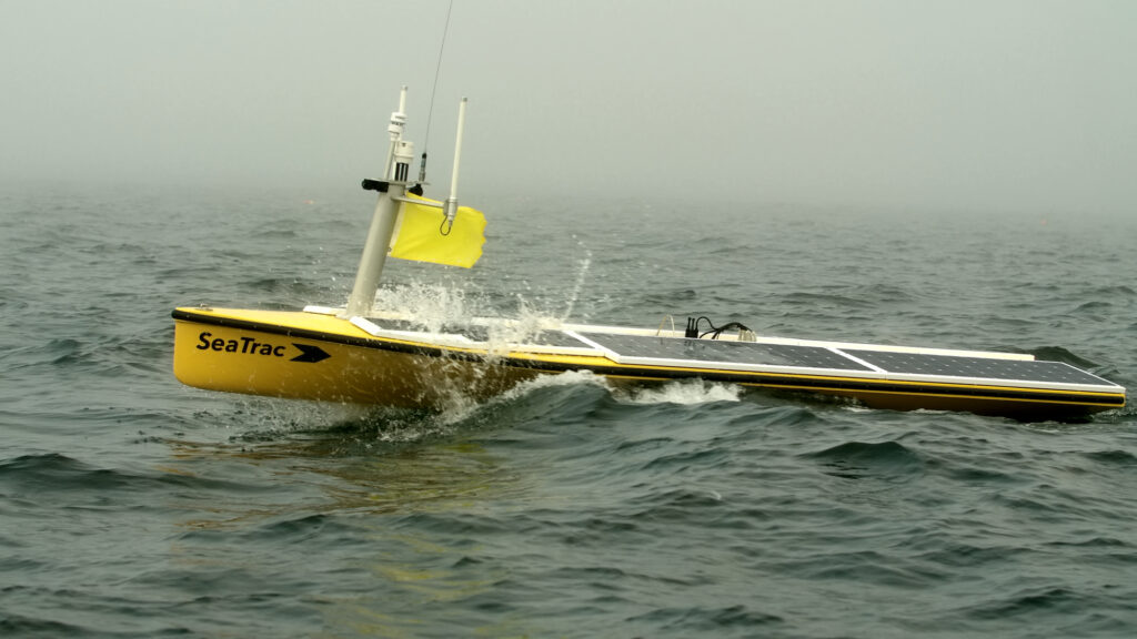
The partnership, which also included the National Oceanic and Atmospheric Administration (NOAA) Office of Marine and Aviation Operations (OMAO), saw a need to act swiftly to map the potential hypoxic zones in the Gulf by using SeaTrac’s SP-48 uncrewed surface vehicle (USV). While fully uncrewed, the remotely operated vessel gathered 24/7 real-time data in the waters and demonstrated sampling procedures and winch for profiling applications.
During the project, SeaTrac personnel based in Marblehead, Mass., oversaw the remote data collection and mapping. The USV transmitted data from sensors over cellular and satellite connections to servers at USM. The mission set a precedent for greater spatial and temporal data collection enabled through autonomy.
USM and NOAA scientists boarded a research vessel close by to collect and compare data gathered via a crewed vehicle to that of SeaTrac’s SP-48.
Dr. Jason McKenna, USM Director of Research, Development, Testing, Evaluation, and Training (RDTE&T) praised the success of the mission and future sustainable data collection, “SeaTrac’s SP-48 and transom winch successfully reduced the on-site personnel needed for coastal hypoxia mapping despite unfavorable sea states and congested coastal corridors.
“Even more impressive was the boat’s connectedness: At no point was the vehicle unresponsive, and all data was received into our CUBEnet portal in a timely manner. We look forward to incorporating SeaTrac technology into future research.”
SeaTrac relies on natural energy from the sun to power its uncrewed systems in ocean waters. Through this energy-saving process, researchers can collect data efficiently and sustainably.
SeaTrac Co-Founder Jigger Herman noted, “These results highlight SP-48’s ability to replace crewed vessels, avoiding the danger for humans who perform this type of work manually. This also presents as a cost-effective solution, while the real-time data uploads help to advance operational oceanography and enhance the missions of NOAA.”
Find suppliers & manufacturers of Marine Nutrient Analysis Technology >>


