


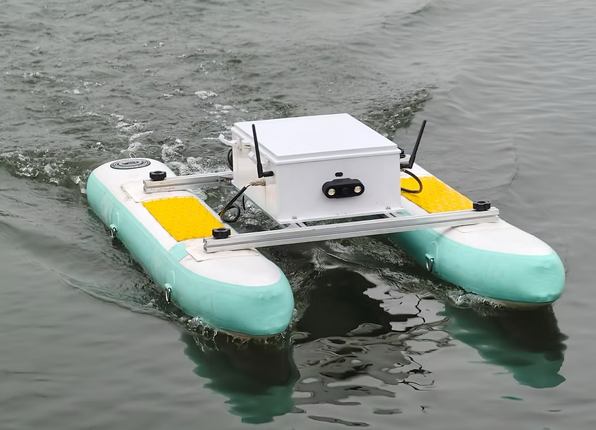
Unmanned Surface Vehicles
Discover cutting-edge solutions from 8 leading global suppliers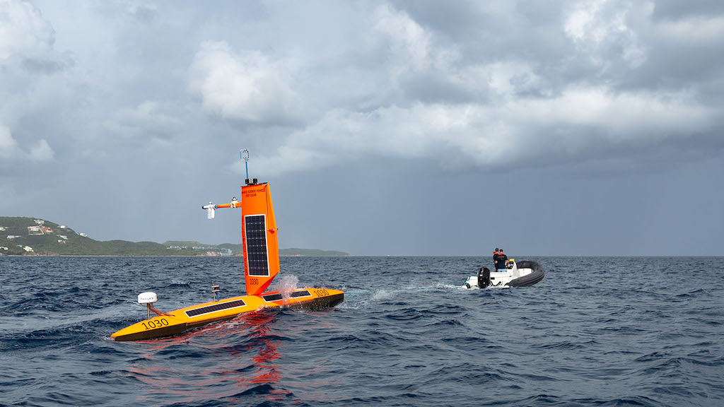
Saildrone and the National Oceanic and Atmospheric Administration (NOAA) are sailing a fleet of uncrewed surface vehicles (USVs) into hurricanes, for the fourth year, to improve understanding of how these dangerous storms form, track, and intensify.
The mission officially begins with 12 vehicles stationed in six operational areas identified by NOAA as having a high probability of intercepting a storm.
With near-record warm ocean temperatures in the Atlantic Ocean, La Nina conditions developing in the Pacific Ocean, reduced Atlantic trade winds, and less wind shear, all of which tend to favor tropical cyclone formation, NOAA is predicted an 85% chance of an above-normal season.
Saildrone Explorer USVs are 23 feet long and carry a payload of sensors to measure air, surface, and water temperature and humidity, barometric pressure, wind speed and direction, salinity, and wave height and period.
To withstand major hurricane conditions—winds over 110 mph and waves that exceed 50 feet—they have a shorter and stronger “hurricane wing,” similar to a reefed sail on a sailboat.
Saildrone USVs sail autonomously along prescribed routes, which are defined by Saildrone Pilots according to weather conditions and to meet mission objectives. Saildrone’s science partners in the mission at NOAA’s Atlantic Oceanographic & Meteorological Laboratory (AOML) and Pacific Marine Environmental Laboratory (PMEL) will work closely with Saildrone Mission Control to guide the saildrones into oncoming hurricanes.
As SD-1045 sailed through Hurricane Sam in 2021, the data showed low surface salinity and unexpected warming of the ocean surface. Scientists believe that freshwater from the Amazon River may have kept the surface ocean warm, allowing heat to continue evaporating as energy, fueling the hurricane.
During Hurricane Idalia in 2023, researchers saw a similar drop in salinity in the data from SD-1083: freshwater from the Mississippi River extended south into the Gulf of Mexico, where the storm passed over the USV.
This year, scientists will continue to study how salinity affects hurricane rapid intensification, and in addition, two Saildrone Explorers will carry a sensor developed by NOAA for Saildrone USVs to measure how much carbon dioxide the ocean is absorbing from—or releasing into—the atmosphere.
One Saildrone Explorer went on mission early: Shortly after SD-1041 was deployed from St. Thomas, USVI, Hurricane Beryl began to form in the eastern Atlantic. SD-1041 was slated to begin a long transit to an operational area north of Puerto Rico, but scientists at AOML and PMEL requested that the USV be routed toward the storm.
In less than 72 hours, this wind-powered ocean drone with a “reefed” wing sailed some 143 nautical miles to intercept the edge of the hurricane, where it measured winds gusting to 53 knots and waves nearly 8 meters tall.
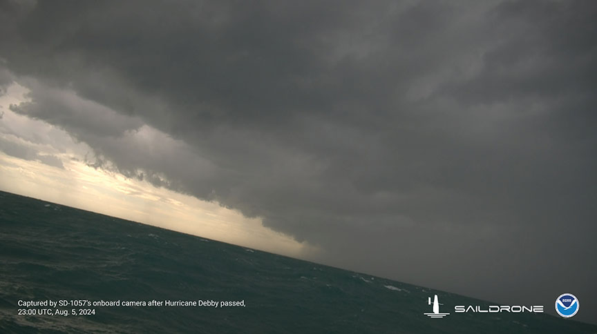
As the final group of saildrones was readied for deployment, Tropical Storm Debby was forming in the Gulf of Mexico. Just days after SD-1057 was deployed, the USV sailed through the eye of Hurricane Debby hours before the storm made landfall in Florida.
Sailing on the surface of the water, Saildrone USVs provide crucial data at the interface between the ocean and the atmosphere. Researchers will coordinate data collection between Saildrone USVs, overflights by NOAA P3 Hurricane Hunter aircraft, and gliders below the surface.
Coordinating these aerial, surface, and underwater assets provides scientists with a complete picture of the air and water column, from 10,000 meters (30,000 feet) above to 1,000 meters (3,000 feet) below the surface.
Powered solely by renewable wind and solar energy, the Saildrone fleet will stay at sea for the duration of the mission, which will last through October.
Greg Foltz, a NOAA oceanographer and one of the mission’s principal investigators, commented, “It’s not known how hurricanes affect the exchange of CO2 between the ocean and the atmosphere and how that impacts the global carbon budget.
“If we can get one of these two USVs into a major storm, it would give us some of the first direct measurements of air-sea CO2 exchange inside a hurricane.”


