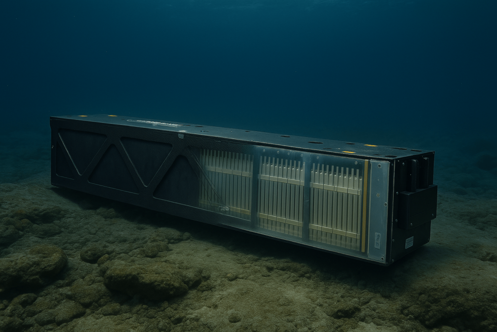
Ocean Noise Pollution Monitoring
Discover cutting-edge solutions from leading global suppliers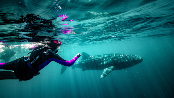
A collaborative study led by the Australian Institute of Marine Science (AIMS) has revealed that the areas used by six threatened marine megafauna species overlap with a myriad of human activities in the waters of Australia’s north west.
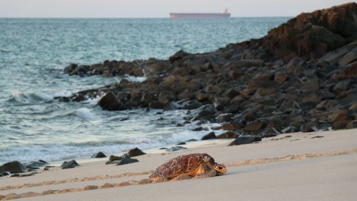
Satellite tracking data from three turtle, two whale and one shark species were analysed for the study, showing that species are vulnerable to multiple threats from industrial and urban development including ship strike, underwater noise, light pollution, bycatch, potential oil spills and habitat modification over hundreds of kilometres off the north-west of Australia.
Encouragingly, only a relatively low percentage (14%) of the species’ distributions occurred in areas with high exposure to threats from human activities.
Lead author Dr Luciana Ferreira from AIMS said identifying these high exposure areas will be helpful for conservation management, especially where the study species are displaying important behaviours such as those associated with reproduction and feeding.
“This study is a prime example of how collaboration between research organisations, industry and management agencies contributes to the sustainable development of marine industries while protecting our unique marine ecosystem,” said Dr Ferreira. “It is providing environmental regulators and industry with information to guide decisions and management actions that could aid conservation for these iconic, threatened species.
“For example, when industry undertake an impact assessment for a development proposal in an area, with a species for which we found high exposure from existing threats, they, and regulators who assess these proposals can implement strategies to minimise impacts.
“The relatively low percentage of species distributions subjected to high exposure of threats from human activities suggests there is scope for appropriate management and mitigation actions to help ensure sustainable development.
“Some mitigation strategies already exist to reduce risk of exposure, such as limiting threatening activities to periods when the species is absent, fishing gear modifications to reduce bycatch and oil spill emergency plans, but there is scope to consider others.”
For the study, the authors collated 484 individual satellite tracks of hawksbill, green and flatback turtles, humpback and pygmy blue whales, and whale sharks (tracking data provided by collaborators and industry) across an area encompassing more than 2.2 million km2 of north-western Australia, including parts of Western Australian and Northern Territory waters.
They then identified a list of human activities and threats for the region, determined which species could be affected by these threats and then analysed the spatial overlap between the species and threats and used it to calculate threat exposure.
Core threat exposure areas included the Ningaloo and Pilbara coastal regions, the offshore waters beyond Ningaloo Reef, and marine turtle nesting beaches at Barrow Island and Cape Lambert, near Karratha.
The study found that none of the species occurred in areas free of threat from the human activities included in this study. Even areas with some protection, such as marine parks, were found to have some level of exposure to threatening processes within them, such as underwater noise, vessel strikes and artificial lighting from nearby towns.
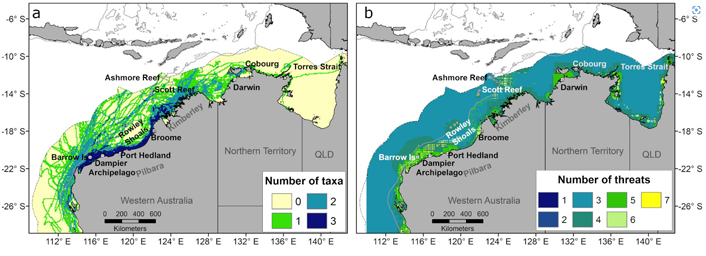
Overall, the exposure for each species was highest on the continental shelf and deeper waters off the shelf of the Pilbara region, with some high exposure areas occurring around large coastal towns like Dampier, Port Hedland, Broome and Exmouth.
Study co author Dr Michele Thums said; “This is where you find large ports and regional towns supporting coastal and offshore marine industries. Some offshore areas important for large whales and migratory turtles show high exposure related to threats associated with shipping, oil and gas production facilities, and commercial fishing; such as artificial light, ship strike, oil spill and underwater noise.”
The analysis also highlighted important areas for the study species where there are fewer threats from human activity, which could be considered for the recognition as protected areas or as reference areas for future study.
Senior author Dr Sabrina Fossette from WA’s Department of Biodiversity, Conservation and Attractions (DBCA), a key collaborator on the project, said that risks to the environment and species are usually assessed at an individual project or species level, and looking at cumulative exposure and risk is crucial for effective management.
This study was conducted as part of AIMS’ North West Shoals to Shore Research Program in collaboration with DBCA, and was supported by Santos Ltd as part of the company’s commitment to better understand Western Australia’s marine environment.