OSIL Buoy Selected to Collect Environmental Change Data

The 1.9m Fulmar buoy will record and transmit a variety of environmental parameters including salinity, temperature, pH, and chlorophyll, in addition to a full suite of meteorological measurements By Abi Wylie / 11 Oct 2023

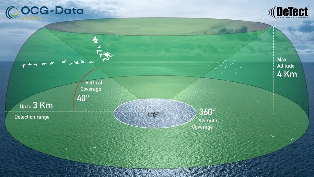
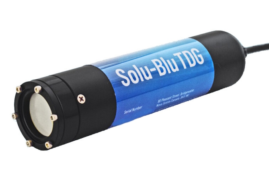
Underwater Pressure Sensors

Discover cutting-edge solutions from 5 leading global suppliers
SUPPLIER SPOTLIGHT
OSIL Buoy Selected to Collect Environmental Change Data
Follow OS&T

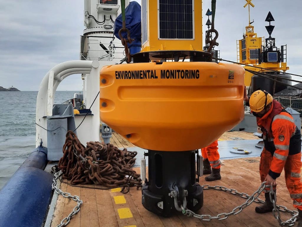
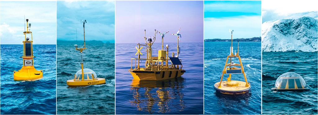
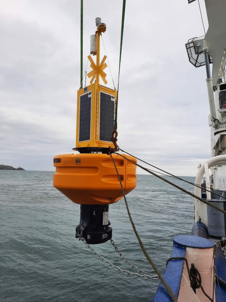
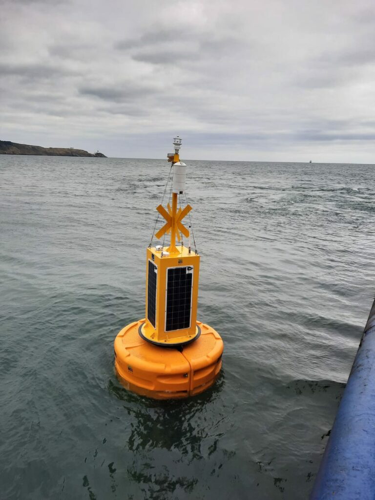
A multidisciplinary data buoy platform manufactured by Ocean Scientific International Ltd (OSIL) has been installed in Dublin Bay as part of the PREDICT multidisciplinary project. 

This project will provide a coordinated program of coastal ocean observations that will be used to validate, calibrate and extract as much information as possible from satellite earth observation data as an experimental proof of concept.

The aim is to generate AI models that can be used to predict environmental change in a range of environments.

The 1.9m OSIL Fulmar buoy is recording and transmitting a variety of environmental parameters including salinity, temperature, pH, partial pressure of CO2, turbidity, dissolved oxygen and chlorophyll, in addition to a full suite of meteorological measurements.

Data from the buoy is relayed via GSM, with an Iridium satellite Short Burst Data back-up. The data is immediately available to the public via a web portal, and data from all sources will soon be publicly available on the easy to use PREDICT Data Portal. The environmental data is catalogued, mapped & displayed in an interactive web environment, facilitating collaboration and partnership planning.

The intention is to predict and assess coastal vulnerability by systematic and sustained monitoring of physical, chemical and biological processes occurring in coastal zones, by integrating mathematical modelling, remote and in-situ sensing, physical and chemical oceanography and seabed mapping from various sources including the Dublin Bay buoy. 

These models will then contribute to future planning in a diversity of areas such as coastal mapping, flooding prediction, marine habitats and fisheries, climate change, environmental protection and policy.

The scheme has been funded by Science Foundation of Ireland (SFI), the Geological Survey of Ireland and the Marine Institute (MI). The project is coordinated in Dublin City University (DCU) with Principal Investigators in Maynooth University (MU), University College Cork (UCC) and the GSI.

Posted by Abi Wylie Edited by Abigail Wylie, Editor and Copywriter experienced in digital media with a keen interest in ocean science technology. Connect & Contact

Latest Articles

AXYS Technologies MetOcean Observation Networks

AXYS Technologies supplies high-precision MetOcean data solutions that support marine safety, scientific research, environmental monitoring, and policy development across more than 80 countries

Apr 30, 2025
MostaTech to Launch Advanced Gyroscopes at XPONENTIAL 2025

MostaTech will present advanced fiber optic gyroscopes and inertial measurement units at XPONENTIAL 2025, highlighting advancements in low-SWaP, high-performance navigation technology

Apr 30, 2025
D-2 Ultra Low Power CTD Integrated into WHOI Arctic Research

D-2 Inc.’s advanced CTD sensor supports WHOI’s Arctic climate research, enhancing data precision in the Ice Tethered Profiler program’s latest deployments

Apr 30, 2025
Kraken Robotics Secures $11 Million in New Battery Orders

Kraken Robotics has received new orders for its SeaPower™ batteries, powering advanced uncrewed underwater vehicles (UUVs) and driving growth in the defense sector

Apr 29, 2025
SubC Imaging Enhances Data Storage Flexibility with Rayfin Software Update

SubC Imaging has released a new software update, designed to provide enhanced flexibility to the Rayfin camera family

Apr 28, 2025
MERLIN Radar Deployed Offshore for Bird Migration Monitoring

Ocergy and DeTect have deployed advanced radar technology offshore to monitor bird migration, supporting environmental assessments and expanding knowledge of avian movement patterns

Apr 28, 2025

Featured Content

D-2 Ultra Low Power CTD Integrated into WHOI Arctic Research

D-2 Inc.’s advanced CTD sensor supports WHOI’s Arctic climate research, enhancing data precision in the Ice Tethered Profiler program’s latest deployments

Apr 30, 2025
Case Study: Impact Subsea Altimeter Supports Antarctic Science

Impact Subsea's ISA500 underwater altimeter plays a key role in the Icefin AUV as it collects vital data, passing through narrow boreholes drilled into Antarctic ice shelves

Apr 23, 2025
Kongsberg Discovery Supplies Technology to Convert Sailing Ship into Research Vessel

Kongsberg Discovery has upgraded the Statsraad Lehmkuhl for the One Ocean Expedition, providing advanced systems to support climate and ecosystem research

Apr 17, 2025