N-Sea Charters Hybrid Survey and ROV Support Vessel

The fuel-efficient vessel Geo Ranger is equipped with smart on-board technology, comprising various sensors and a plug-and-play system for project-specific customer equipment By Abi Wylie / 25 Jan 2024

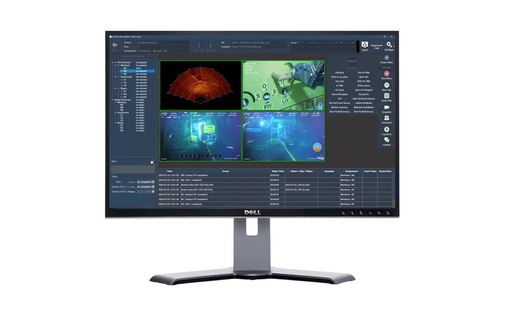
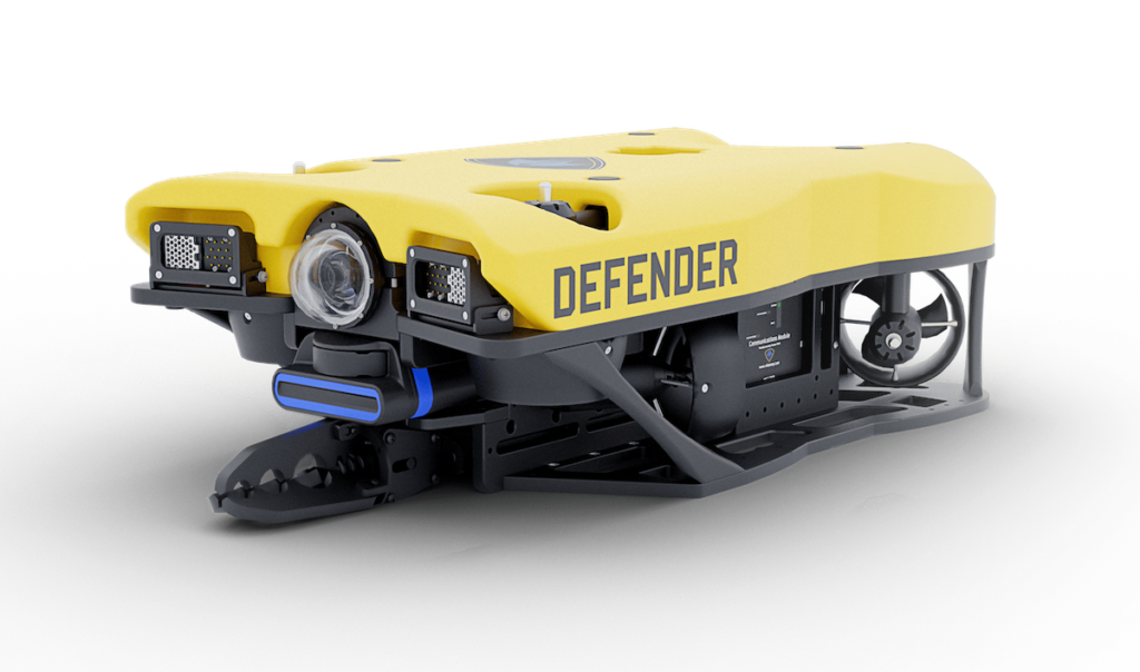
Remotely Operated Vehicles

Discover cutting-edge solutions from 11 leading global suppliers
SUPPLIER SPOTLIGHT
N-Sea Charters Hybrid Survey and ROV Support Vessel
Follow OS&T

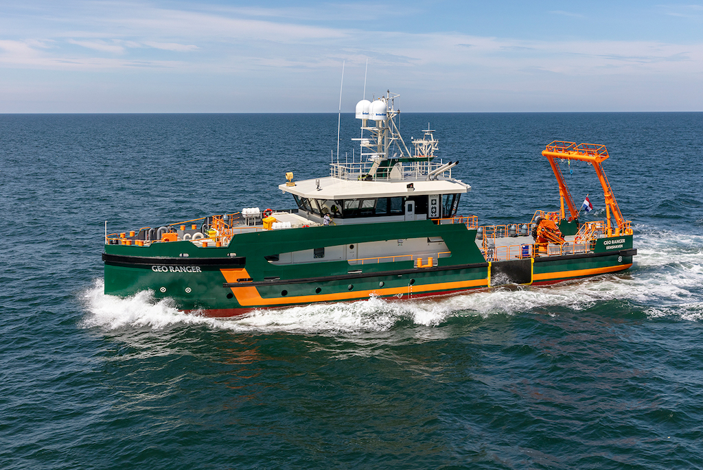
N-Sea Group has entered into an agreement with Geo Plus to long-term charter the Dutch flagged vessel Geo Ranger, a modern hybrid survey and ROV support vessel. 

The Geo Ranger will accompany the Geo Focus which is already under N-Sea management and control.

The fuel efficient vessel Geo Ranger is equipped with smart on-board technology, comprising various different sensors and a plug-and-play system for additional, project-specific customer equipment. With a focus on improved workability, durability and flexibility, the Geo Ranger aims to set a new standard for survey vessels.

Geo Ranger Features:

  • Workability: Providing a high workability of up to 2 metres significant wave height.
  • Plug & Go solutions: To ensure hassle free (de)mobilisation, the vessel has several solutions for quick and safe installation of equipment. In addition is the vessel standard provided with high-class survey equipment.
  • Sustainability: The Geo Ranger is very fuel efficient vessel and has many features that contribute in a sustainable way to the environment. This means the vessel uses for example diesel/electric propulsion for low fuel consumption, heat recovery, LED lightning and bio-degradable oil.

The Geo Ranger has a proven track record when it comes to safe and efficient offshore operations. With DP station keeping capabilities, an overall length (LOA) of 41.60 metres, 8.70 metres width, and a working draft of 2.25 metres, it is the ideal vessel to operate in North Sea, Baltic Sea, Irish Sea and Mediterranean Sea.

Furthermore, the vessel is equipped with 8T A-frame ideally suited for towing arrangements, geotechnical survey, and other subsea activities.

The vessel and its experienced crew will play a key role in realising N-Sea’s ambition to become the subsea services contractor of choice. With the long-term charter of the Geo Ranger N-Sea is strengthening its footprint and position in the subsea service industry, following the expansion of the offshore markets.

N-Sea will have the vessel under full management and control. By having dedicated vessels, N-Sea can provide safer and more efficient operations through working with fully committed and integrated teams. 

With this new dedicated vessel initiative N-Sea can offer its clients, a unique set of subsea solution capabilities supported by experts, better serving the needs of our clients.

Posted by Abi Wylie Edited by Abigail Wylie, Editor and Copywriter experienced in digital media with a keen interest in ocean science technology. Connect & Contact

Latest Articles

Partnership to Advance Sustainable Practices in Subsea Operations

Ashtead Technology is partnering with Hydrollica to introduce a new generation of seawater-powered subsea tooling, promoting sustainability in subsea operations

Jul 18, 2025
Profile Spotlight: ALSEAMAR’s SEAEXPLORER Gliders for Oceanographic Monitoring

ALSEAMAR is presenting its SEAEXPLORER glider range on OST, offering autonomous underwater vehicles for long-duration environmental and industrial data acquisition

Jul 17, 2025
Profile Spotlight: SCIO Technology’s Modular Battery Systems for Maritime Vessels & Infrastructure

SCIO Technology is showcasing its SCIO Brick® battery system on OST, delivering modular electric power solutions for maritime vessels and infrastructure applications

Jul 16, 2025
Real-Time Video Streaming Now Available on SubC Imaging Systems

SubC Imaging has expanded streaming capabilities to Rayfin cameras, DVR+ Overlay and its Blackbox, through a straightforward, unified and consistent process across subsea configurations

Jul 16, 2025
SBG Systems Demonstrates Enhanced Performance of New Ellipse INS Firmware

SBG Systems evaluates its New Ellipse INS firmware through testing in AHRS and GNSS-aided modes, highlighting improved accuracy in dynamic, magnetic, and GNSS-denied conditions

Jul 15, 2025
Building Accurate 3D Seafloor Maps Using GIS & Geodetic Software

Researchers in Australia used Blue Marble Geographics’ Global Mapper® and Geographic Calculator® to convert raw bathymetric data into seamless 3D models for seabed mapping

Jul 15, 2025

Featured Content

Real-Time Video Streaming Now Available on SubC Imaging Systems

SubC Imaging has expanded streaming capabilities to Rayfin cameras, DVR+ Overlay and its Blackbox, through a straightforward, unified and consistent process across subsea configurations

Jul 16, 2025
Deep Trekker ROVs Streamline Offshore Inspections for Maritime Services Firm

Ynamly Yol Hyzmaty has adopted Deep Trekker’s ROV technology to enhance underwater inspection and non-destructive testing, reducing diver use and improving operational turnaround

Jul 14, 2025
New Unmanned Surface Vessel Outfitted with Voyager AI Survey System

Robosys Automation’s Voyager AI Survey has been integrated onboard Uncrewed Survey Solutions’ USS Accession, enhancing the vessel with advanced autonomous navigation and control capabilities

Jul 09, 2025