


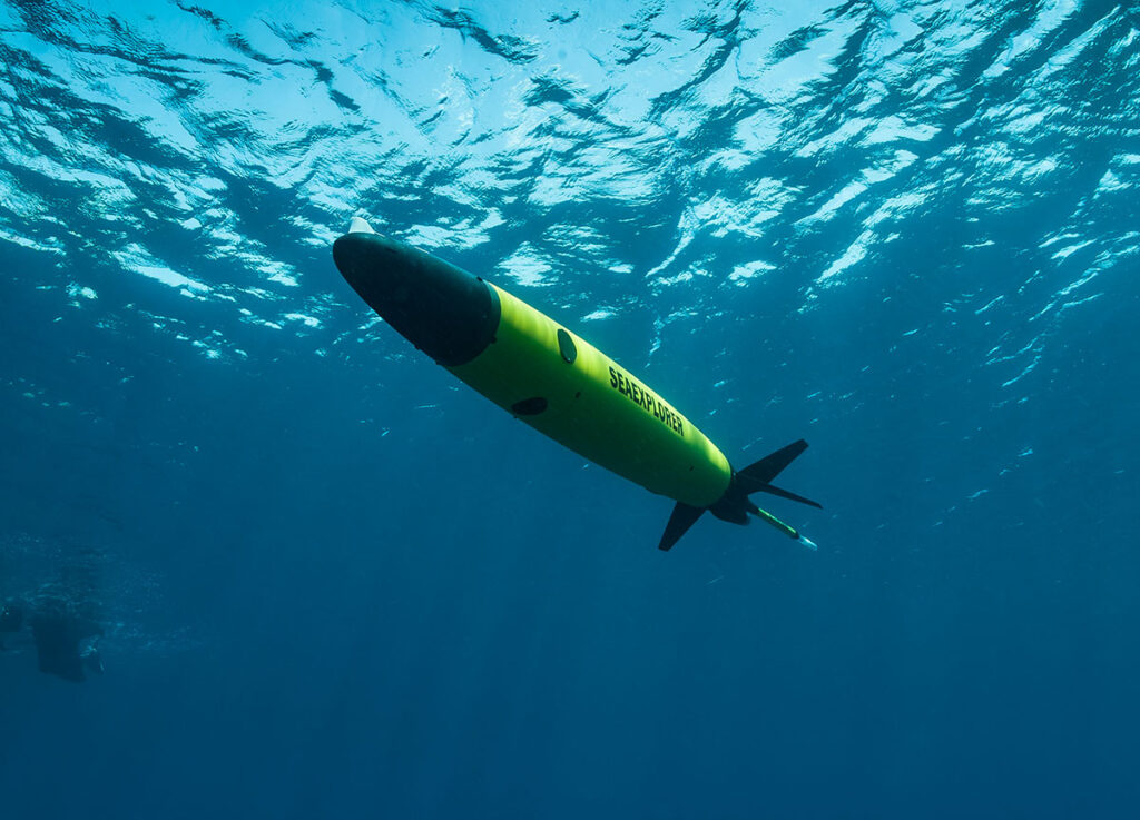
Underwater Gliders
Discover cutting-edge solutions from leading global suppliers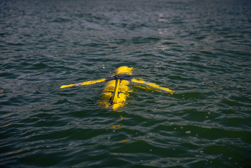
Five innovative projects, led by scientists at National Oceanography Centre (NOC), University of Cambridge, University of Hull and University of Plymouth, will harness the potential of digital twinning technology to transform environmental science.
The projects will share a total of £2.8 million in funding delivered by the Natural Environment Research Council (NERC) as part of the Twinning Capability for the Natural Environment (TWINE) programme.
The digital twin pilot projects will demonstrate how research using Earth observation data and emerging digital twinning technologies can transform environmental science across priority areas including climate change, biodiversity and ecosystems, and natural hazards.
NOC will lead the MAS-DT project that looks at ocean glider observations for ocean models which underpin weather forecasts.
NOC is also contributing its expertise to two more of the TWINE funded projects, SyncED-Ocean and SPLASH.
Synchronising Earth observation and modelling frameworks towards a digital twin ocean (SyncED-Ocean) is led by Matthew Palmer, Plymouth Marine Laboratory. This project will deliver a digital twin pilot demonstrator that combines data from satellite Earth observations and marine autonomous robots for assimilation to marine system models to provide an optimised virtual coastal ocean ecosystem.
It will focus on significantly improving the current predictive capability of harmful algal blooms (HABs) and their subsequent impacts on ocean oxygen concentration in UK coastal areas, both of which present serious risk to ocean health, biodiversity and productivity.
The demonstrator utilises artificial intelligence techniques to couple real and virtual systems to create an agile, adaptive digital twin framework. This framework can be used to support future research, policy and commercial applications that seek to improve understanding and the management of our natural environment.
SPLASH focuses on digital approaches to predict wave hazards, and is led by Nieves Valiente, University of Plymouth. This project will create a digital twin of a wave overtopping in order to build a deployable coastal warning tool that predicts wave hazards.It will establish a method to analyse coastal wave fields from Earth observations alongside unique measurements of wave overtopping.
This allows us to better understand how processes such as wind, tides, coastal sheltering and swells interact across an area to change the coastal wave hazard. The project will also use projections to assess future changes in wave hazard frequency.The ultimate aim is to transform weather and climate research and improve operational hazard management to increase UK resilience.
The TWINE programme is part of a £200 million portfolio of 17 Earth observation investment package (EOIP) projects which were announced in November 2022.
The aims of the TWINE programme and the successful projects collectively are to:
- Harness the UK’s leading position at the nexus of environmental, observational and computational sciences, and bring together multidisciplinary teams to realise the value of digital twinning technology to address environmental challenges.
- Improve the understanding, modelling and prediction of events, inform future decision-making, and test the impacts of different scenarios and interventions to help make better decisions on improving our environment.
- Build the foundations of a coherent and lasting landscape of digital twins for environmental science, with a high level of cross-fertilisation of learning and a focus on design for interoperability with current and future activities.
About the MAS-DT project, Dr Justin Buck, NOC Principal Robotics Engineer, commented; “This project will develop a digital twin to optimise ocean glider observations to maximise their impact on oceanographic research and ocean models which underpin NERC research priorities and weather forecasts. The demonstrator digital twin will combine Earth Observations with sub-surface ocean glider data and operational ocean models.
“The resulting four-dimensional picture, which will be presented within a user interface, allowing scientists to plan ocean glider observations to maximise utility. This feedback between scientists, Earth Observation data and glider operations in near real-time will maximise the value of the observations collected and their impact on ocean forecasting along with NERC research.”


