
XEOS Data Relay
partner with OST
Nortek Signature ADCPs
Leading Global Suppliers

Sub-Bottom Profiler Manufacturers

Sub-bottom profilers, powered by sonar-based sub-surface imaging and acoustic coring, enable the mapping of sediment layers under water. These systems emit low- to mid-frequency sound pulses, such as CHIRP, boomer, broadband, narrowband, and parametric signals, penetrating the seabed to reveal sediment thickness, stratigraphy, and submerged objects.

This page features leading sub-bottom profiler manufacturers for use across marine geology, hydrographic survey vessels, and offshore oil and gas exploration.

Read the Technology Overview

Sub-Bottom Profiler Suppliers & Manufacturers

Teledyne Marine
Teledyne Marine

High-Performance Instruments, Sensors & Technologies for Exploring & Monitoring Subsea Environments

Kraken Robotics
Kraken Robotics

Industry-Leading Underwater Imaging and Power Solutions for Demanding Professional Survey Applications

NORBIT Subsea
NORBIT Subsea

Cutting-Edge Multibeam Sonar Solutions for Marine & Subsea Applications

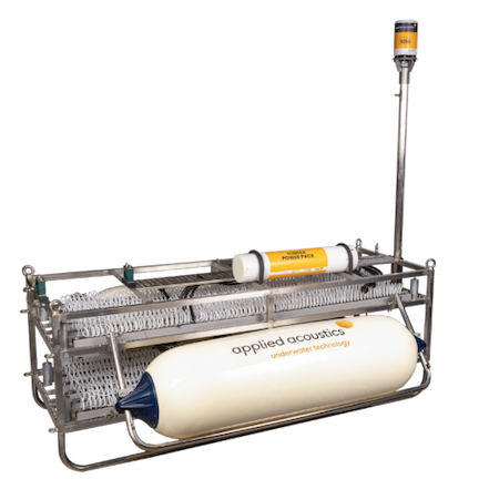
applied acoustics
applied acoustics

Innovative Subsea & Marine Navigation, Positioning & Survey Solutions

Showcase your capabilities

If you design, build or supply Sub-Bottom Profiling, create a profile to showcase your capabilities and connect with visitors who have an active requirement for your solutions.


Create Supplier Profile

Products: Sub-Bottom Profilers

5 Cutting-edge Solutions
Add your solutions
RESON ParaSound
RESON ParaSound

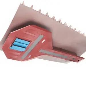
High-resolution deep-ocean parametric sub-bottom profiling system

High-resolution deep-ocean parametric sub-bottom profiling system
...sound deep sea sub bottom profiler is a marine sensing system designed to map sub-seafloor structure...
NORBIT Sub-Bottom Profiler (iSBP)

Integrated sub-bottom profiling for marine survey workflows

Integrated sub-bottom profiling for marine survey workflows
...BIT Integrated Sub-Bottom Profiler (iSBP) is a compact sub-bottom profiler designed as an add-on for...
Sub-Bottom Imaging Services

Advanced acoustic technology providing highly accurate 3D data collection for subsea applications

Advanced acoustic technology providing highly accurate 3D data collection for subsea applications
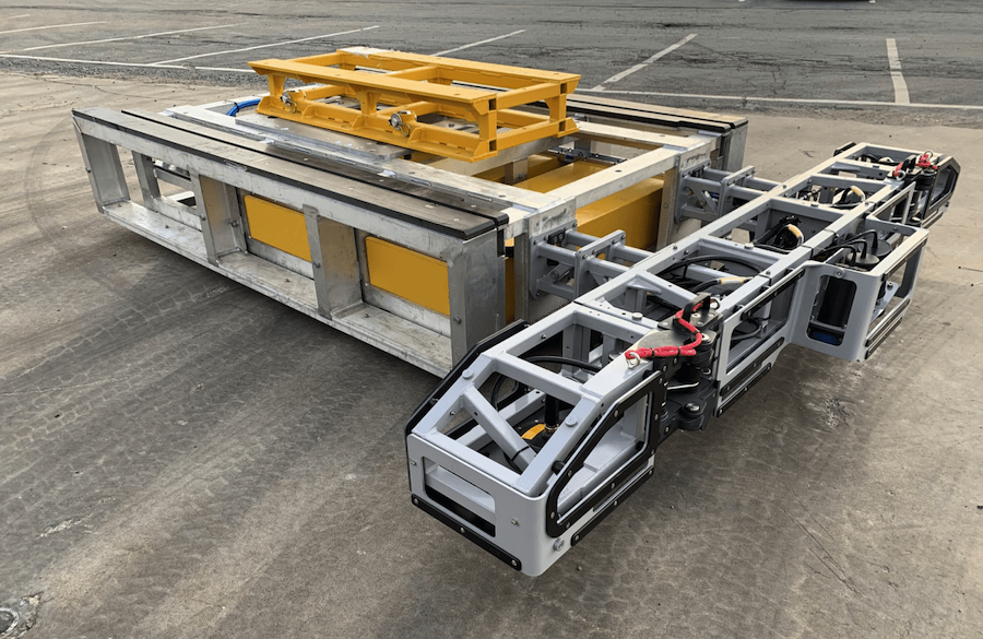
Our Sub-Bottom Imager (SBI) uses state-of-the-art beamforming SAS arrays to image up to 5 meters...
HydraSeis
HydraSeis

Ultra-high resolution seismic data acquisition for marine surveys

Ultra-high resolution seismic data acquisition for marine surveys
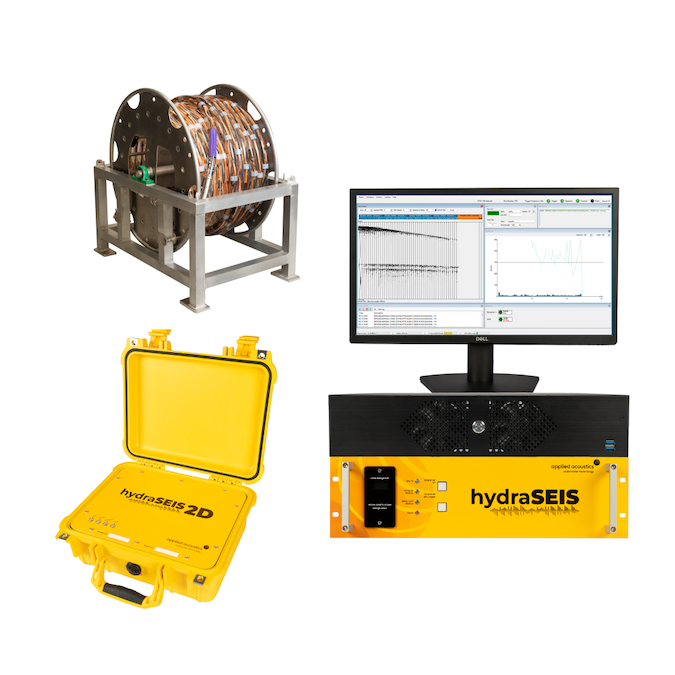
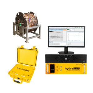
The HydraSeis Multi-Channel Seismic Streamer is a modular geophysical survey system engineered to ca...
Geophysical Survey Systems

Seafloor surveying tools & accessories

Seafloor surveying tools & accessories
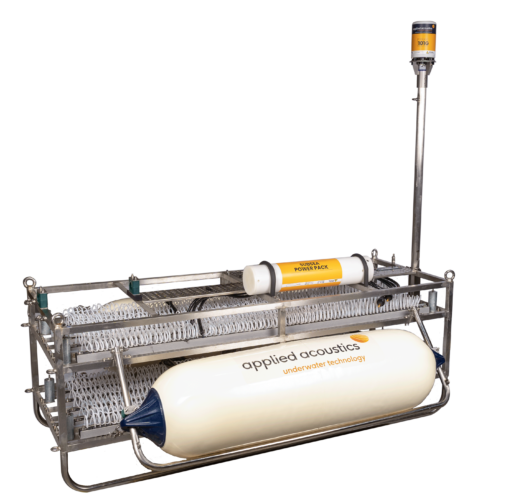
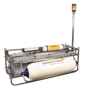
applied acoustics’ geophysical survey systems use seismic energy sources and hydrophones to create...

Sub-Bottom Profiling: Advanced Acoustic Techniques for Subsurface Mapping

Summer James

Updated:

Introduction to Sub-Bottom Profilers

Sub-bottom profiling systems are tailored to specific mission profiles depending on water depth and resolution. CHIRP (Compressed High Intensity Radar Pulse) sub‑bottom profilers sweep across frequencies, often in the low‑ to mid‑frequency range, offering high‑resolution imaging suitable for sediment thickness measurements and benthic habitat mapping. They shine in research vessel operations, undersea archaeology, and coastal development, where detecting discrete sub‑surface features is critical.
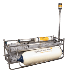
Sub-Bottom Profiling by applied acoustics

Sub-Bottom Profiling Systems by Applied Acoustics

Boomer and sparker systems excel at penetrating deeper into sediments in both shallow-water and deep-water environments. These systems are frequently mounted on offshore supply vessels, dredging vessels, or hull-mounted on multipurpose support vessels for geotechnical surveys and pipeline route planning. Their broad frequency range allows efficient data acquisition even in challenging seabed geology.

Emerging parametric sources, which generate narrow, high-frequency beams from the interaction of primary low-frequency pulses, produce ultra-clean acoustic signals. This precision makes them invaluable for high-resolution applications such as buried object detection, submerged object scanning, and acoustic seabed classification during environmental impact assessments.

Key Platforms & Deployment Configurations

Towed towfish systems are deployed behind survey vessels or unmanned surface vehicles (USVs), offering flexible profiling with cable winch and towing cable arrangements. They can operate from hydrographic survey vessels or remotely operated vehicles, ideal for nearshore or cluttered environments.

Hull-mounted and pole-mounted profilers suit multipurpose support vessels and coastal patrol boats, enabling continuous data collection without the complexity of tow bodies. Combined with positioning systems (GPS receiver, inertial motion sensors), AD converters, and onboard computers, these setups allow real-time processing and display unit monitoring of sub‑surface structures.

Unmanned surface vehicles and autonomous surface vehicles enhance efficiency and safety, especially in restricted or hazardous zones. Their power supply, amplifier, transducer, DSP units, and hydrophone arrays are optimized for autonomous acquisition and onboard data storage until retrieval.

Remotely operated vehicles (ROVs) and dive support vessels enable localized sub-bottom profiling in dive zones and underwater archaeology, equipped with compact profiler systems, positioning sensors, and recording software. Ideal for acoustic coring operations, ROV platforms can precisely sample sediment layers for later sediment analysis.

Components of Sub-Bottom Profiling Systems

A comprehensive sub-bottom profiling system includes:
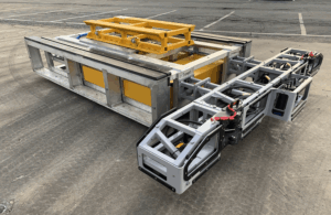
  • Sub-Surface Imaging by Kraken Robotics

    Sub-Bottom Imaging Services by Kraken Robotics

    Transducer and hydrophone array: key to efficient acoustic emission and reflection capture.

  • Pulse generator (boomer, sparker, parametric): tailored for different imaging depths and resolutions.
  • Power supply and preamplifier/amplifier stages: ensuring stable signal strength.
  • Data acquisition system and analog-to-digital converter (ADC): for accurate digital recording.
  • Motion sensor and GPS or positioning system: to georeference profiles in real time.
  • Onboard computer, recording software, user interface panel, and display unit: for processing and visualization.
  • Data storage unit: essential for high-resolution survey missions.

Core Applications & Industry Use Cases

Sub-bottom profilers are instrumental across a spectrum of marine and nearshore operations:

  • Hydrographic and offshore survey: supporting harbor development, dredging surveys, and channel maintenance through sediment mapping and seabed classification.
  • Oil and gas exploration and pipeline route planning: critical in assessing sub‑seafloor geology and sediment thickness to guide drilling and installation paths.
  • Marine geophysics: profiling subsurface features, fault lines, paleochannels, or buried objects for geological research and seismic risk assessments.
  • Environmental impact assessments: mapping benthic habitats, assessing seabed disturbance, and monitoring post‑installation effects.
  • Construction planning and coastal engineering: evaluating sediment stability and underlying strata for foundations, bridges, pipelines, or dredging operations.
  • Underwater archaeology and salvage: revealing historical shipwrecks, artifacts, or buried structures without invasive excavation.
  • Research vessel programs: studying sediment transport, stratigraphy, and seabed processes in both shallow-water bays and deep ocean trenches.

Choosing the Right Sub-Bottom Profiler

Selecting the optimal sub-bottom profiler depends on:

  • Resolution vs penetration: CHIRP excels in shallow, high-resolution surveys, while boomer/sparker systems reach deeper.
  • Survey platform: Towfish systems are flexible, USVs and ROVs allow operations in restricted zones, and hull/pole-mounted systems are better for stable platforms.
  • Frequency range: Broadband and parametric sources offer better signal clarity for seabed classification; narrowband systems may be limited.
  • System integration: Ensure compatibility between transducer, amplifier, digitizer, display unit, recording software, and data formats.
  • Operational environment: Adapt power supply, cable winch, deployment brackets, and motion/GPS sensors for offshore, deep-water, or coastal settings.
  • Budget and logistics: Portable profiler units may favor small-scale research, while full-survey setups suit larger vessels and offshore offsets.

Sub-Bottom Profiling for Modern Marine Survey Needs

Sub-bottom profiling remains a critical tool in sub-surface seabed imaging, offering unmatched insight into sediment structure, thickness, and hidden features. Whether using CHIRP systems aboard hydrographic vessels, deploying boomer sources on offshore supply vessels, or integrating profiler packages on autonomous surface vehicles, these systems enable precise, acoustically driven exploration of marine strata. As marine geology, oil and gas, archaeology, and environmental assessment fields advance, robust and integrated sub-bottom profilers remain the foundation of modern seafloor investigation.

Related Articles

applied acoustics Discusses HydraSeis Multichannel Seismic System for Offshore Surveys

Michael Calvert, Geophysical Product Manager at applied acoustics, outlines the design, performance characteristics, and deployment of the HydraSeis multichannel seismic system, with a focus on its use in shallow offshore subsurface imaging and site investigation

Apr 23, 2026
applied acoustics Outlines Offshore Energy Survey Technologies

applied acoustics presents its range of subsea and marine survey, navigation and positioning technologies for hydrographic and geophysical applications supporting offshore energy development

Apr 08, 2026
Oi26 Interview: GeoAcoustics on the New GeoMB 402 Multibeam Echosounder & the Future of Acoustic Surveying

Speaking with OST at Oi 2026 in London, GeoAcoustics Chief Commercial Officer Richard Dowdeswell outlines the company’s expansion into beamforming multibeam systems and discusses how acoustic survey technology is evolving

Mar 11, 2026
Ultra High Resolution Seismic Surveying for Infrastructure Risk Reduction

applied acoustics highlights how SAND Geophysics used its HydraSeis ultra high resolution multi-channel seismic streamer to characterize near-surface geology and identify subsurface risks for a major infrastructure project

Dec 04, 2025
Exploring applied acoustics’ Sub-Bottom Profiling Systems

applied acoustics' sub-bottom profiling systems offer advanced solutions for detailed seabed imaging, combining cutting-edge technology and flexible designs to support diverse marine surveying applications

Nov 10, 2025
applied acoustics Broadens Deployment Options for Pyxis INS + USBL Systems

Applied Acoustics has added its Pyxis INS + USBL systems to STR’s rental fleet, expanding global access to advanced subsea positioning technology

Sep 18, 2025
applied acoustics Survey Equipment Enables Ultra High-Resolution Seabed Mapping

T.T. Surveys employs applied acoustics’ seismic survey technologies to deliver ultra high-resolution seabed data, supporting offshore engineering, UXO clearance, and renewable energy projects

Sep 09, 2025
applied acoustics Upgrades Croatia’s Offshore & Seabed Survey Capabilities

applied acoustics supplied the Hydrographic Institute of the Republic of Croatia with seabed profiling, sound source, and energy source systems, improving accuracy and consistency in marine survey operations

Aug 11, 2025
applied acoustics Supports High-Resolution Profiling for Offshore Wind Projects with Fugro

Fugro enhances its sub-bottom profiling capabilities for offshore wind projects through a long-term collaboration with applied acoustics, achieving seismic resolutions under 20 cm

Aug 05, 2025