applied acoustics, a provider of subsea and marine navigation, positioning and survey solutions, discusses the role of its HydraSeis Multi-Channel UHR Seismic Streamer in a recent seismic survey project carried out by SAND Geophysics. Read more >>
SAND Geophysics, a UK-based marine geophysical consultancy delivering high-resolution seismic, sidescan sonar and magnetometer surveys worldwide, was approached to help de-risk potential major tunneling activities for a large infrastructure project. SAND Geophysics’ role involved mapping key geological horizons, identifying variations in soil properties and locating potential subsurface risks, including dissolution hollows.
To achieve the required subsurface clarity, SAND Geophysics selected Multi-Channel Seismic (MCS) data for its improved signal-to-noise ratio, multiple offsets and ability to support effective move-out and velocity analysis. This approach provided the high-quality imagery and analysis needed for the project.
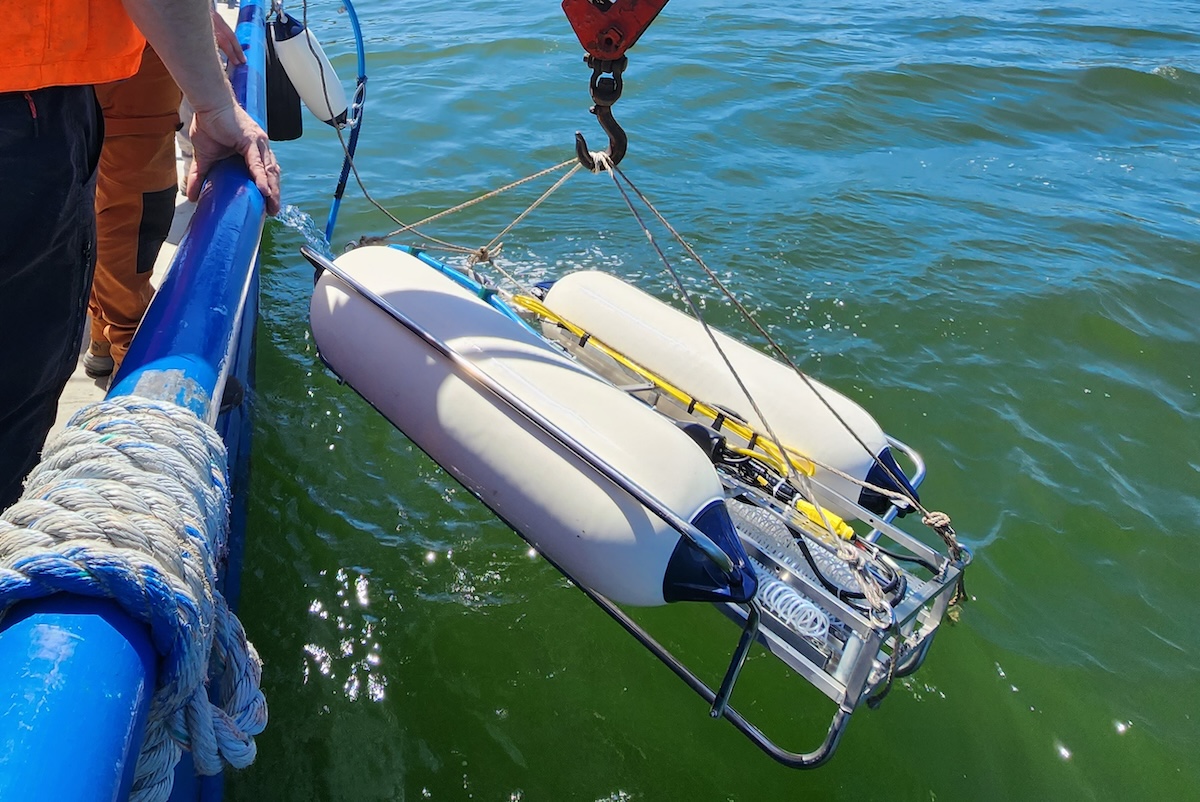
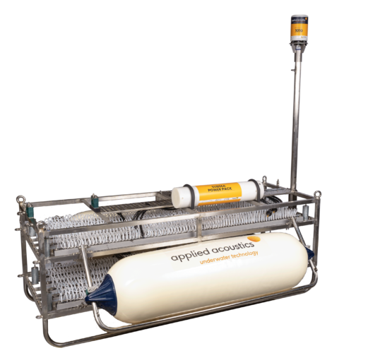
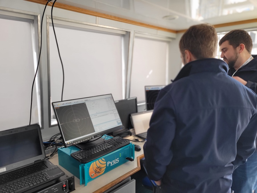
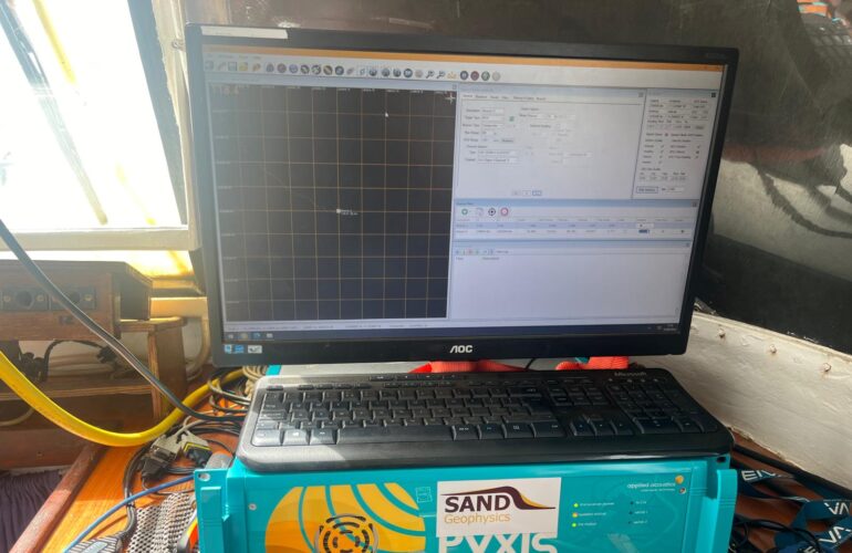
applied acoustics’ HydraSeis Multi-Channel UHR Seismic Streamer was chosen as the primary acquisition system. Its 1-metre channel spacing offered enhanced resolution at the required source frequencies, while its high modularity and flexible section lengths made it suitable for deployment from smaller vessels. Configurable sampling rates helped minimize aliasing and optimize sampling of the upward-propagating wavefield to meet survey objectives.
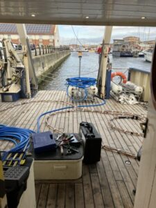
The modular design allowed for straightforward mobilization, transport and vessel integration. In its 48-metre configuration, the streamer was light enough for manual deployment. Accurate positioning was essential for UHR MCS workflows, and integration with navigation and seismic acquisition systems was smooth, with sufficient in-built customization and monitoring for quality results.
applied acoustics’ HydraSeis streamer served as the project’s primary acquisition tool, supported by a smaller high-frequency sub-bottom profiler to image superficial riverbed sediments.
The UHR MCS system delivered strong near-surface resolution and the required penetration depths, enabling data collection beyond the capabilities of single-channel systems or SBPs. This improved resolution and imaging of potential bedrock anomalies contributed directly to the project’s de-risking process.
To find out more information read the full case study here >>