New Ocean Signal Safety Beacon Launched

The rugged, robust EPIRB2 and EPIRB2 Pro beacons, with 10-year battery life, include GNSS positioning, 406 MHz Cospas-Sarsat distress signal with MEOSAR compatibility and 121.5 MHz local homing signal By Abi Wylie / 28 Jul 2023

Locator Beacons

Discover cutting-edge solutions from leading global suppliers
SUPPLIER SPOTLIGHT
New Ocean Signal Safety Beacon Launched
Follow OS&T

Ocean Signal has introduced the latest additions to its range of advanced safety beacons, the rescueME EPIRB2 and rescueME EPIRB2 Pro.

The EPIRB2 units with Return Link Service (RLS) and mobile connectivity are full-featured and versatile options for leisure boat owners and commercial operators whether cruising, fishing, working or sailing offshore.

The rugged, robust beacons, with 10-year battery life, include Global Navigation Satellite System (GNSS) positioning, 406 MHz Cospas-Sarsat distress signal with MEOSAR compatibility and 121.5 MHz local homing signal.

Compatibility with RLS alerting ensures the beacon owner will receive a notification to confirm that the international satellite system has received the distress message and location. With Near Field Communication (NFC) technology introduced with the free Ocean Signal mobile app, beacon owners can connect to a smartphone to check the current battery life, self-test results, and beacon diagnostics.

The EPIRB2 comes with a Category II manual release bracket, while the EPIRB2 Pro is available with a Category I float free bracket. Both beacons have an infrared strobe, as well as visible light, to facilitate rescue in poor visibility or at night.

The Ocean Signal rescueME EPIRB2 series has received Cospas-Sarsat approval, the equipment authorization from the U.S. Federal Communications Commission (FCC), approval from the U.S. Coast Guard and Radio Equipment Directive (RED) compliance.

Carried by a vessel, an EPIRB is traditionally activated in a life-threatening event, such as sinking, collision and accident, or even a medical emergency to transmit a 406 MHz distress signal via the Cospas-Sarsat satellite system to contact global rescue services.

Posted by Abi Wylie Edited by Abigail Wylie, Editor and Copywriter experienced in digital media with a keen interest in ocean science technology. Connect

Latest Articles

Real-Time Vibration Analysis Embedded in SBG Systems IMU

SBG Systems’ IMU now features built-in vibration monitoring, delivering real-time analysis to enhance accuracy, detect resonance, and support design, testing, and structural monitoring

Nov 19, 2025
Kraken Robotics Forms Reseller Partnership to Expand Access to Subsea Sonar Technology

Kraken Robotics has appointed BlueZone Group as an authorized reseller of its SAS and KATFISH platform, offering high-resolution underwater imaging, bathymetric mapping, and rapid data collection for defense and commercial surveys in Australia and New Zealand

Nov 19, 2025
Monitoring Marine Environments with Pro-Oceanus Dissolved Gas Sensors

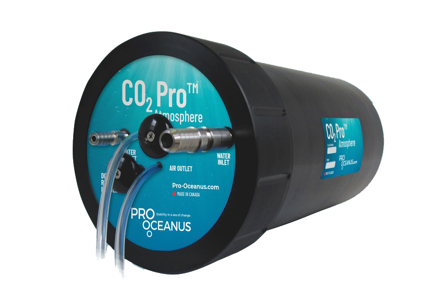
Discover how Pro-Oceanus Systems’ advanced sensors help explore the oceans, measure dissolved gases, and uncover critical insights into marine and climate processes

Nov 18, 2025
Strategic Partnership to Deliver High-Resolution Deep-Sea Seafloor Intelligence & Insights

PlanBlue and Orpheus Ocean have collaborated to integrate advanced AI-driven imaging with autonomous underwater vehicles, enabling enhanced monitoring and analysis of critical deep-sea environments

Nov 17, 2025
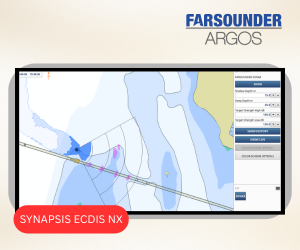
FarSounder Integration Delivers Real-Time Seafloor & Obstacle Detection to SYNAPSIS Users

FarSounder has integrated its Argos 3D Forward Looking Sonar with Anschütz’s SYNAPSIS navigation platform, bringing real-time subsurface insights directly into the (W)ECDIS NX interface

Nov 17, 2025
Underwater Optical Communication Showcases 5.2 Gbps Transmission for Marine Applications

Kyocera has demonstrated a high-speed Underwater Wireless Optical Communication (UWOC) technology capable of transmitting data at 5.2 Gbps, enabling real-time, large-volume data exchange for underwater vehicles and ocean exploration

Nov 14, 2025

Featured Content

FarSounder Integration Delivers Real-Time Seafloor & Obstacle Detection to SYNAPSIS Users

FarSounder has integrated its Argos 3D Forward Looking Sonar with Anschütz’s SYNAPSIS navigation platform, bringing real-time subsurface insights directly into the (W)ECDIS NX interface

Nov 17, 2025
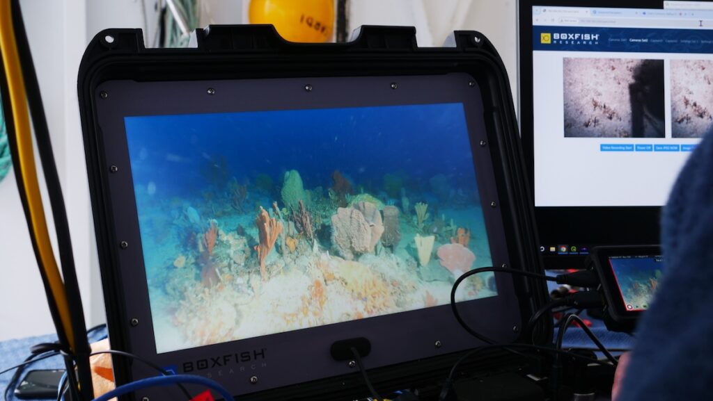
Boxfish ROV Captures Marine Research Footage for Upcoming Premiere

Scientists from the University of Tasmania used a custom Boxfish ROV to survey Beagle Marine Park, capturing underwater footage premiering on YouTube this November

Nov 12, 2025
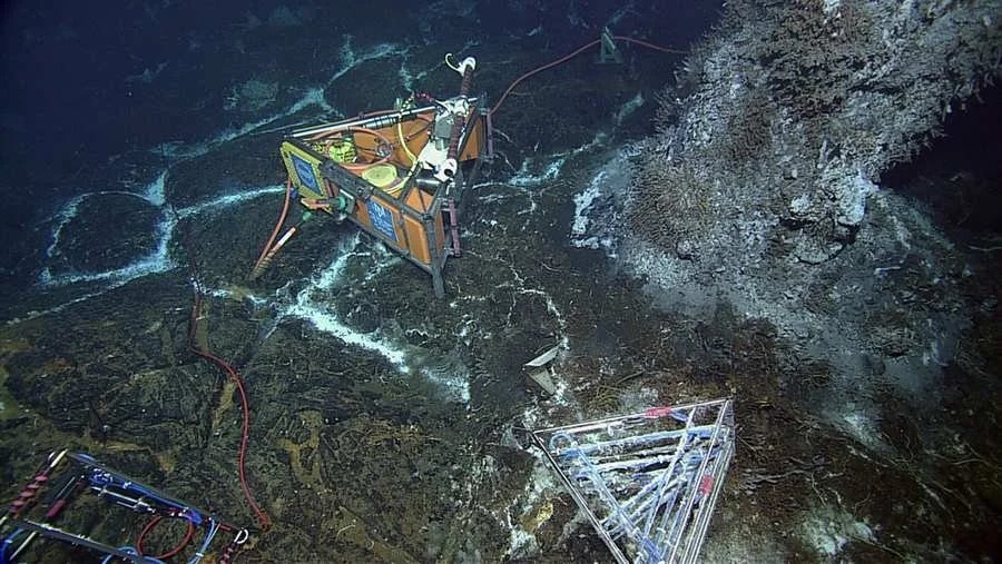
SubC Imaging Observatory Camera Systems Support Long-Term Ocean Observation

SubC Imaging’s Observatory Camera Systems capture detailed subsea imagery for cabled ocean observatories, enabling continuous observation and long-term marine environmental studies

Nov 11, 2025