Discover World-Leading Technologies for Ocean Science
Discover cutting-edge solutions from leading global suppliers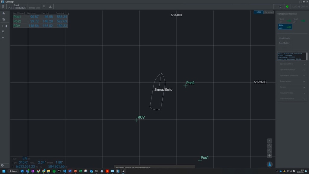
Kongsberg Discovery has released an new software solution to enable remote operations of HiPAP and µPAP SSBL acoustic positioning systems.
Made in response to market demand, this innovative technology enables remote operations for both crewed and uncrewed survey vessels.
Launched at Oceanology International in London, HiPOS – HiPAP Positioning Software for Remote Operations bridges the gap between onshore teams and vessels, allowing shore-based surveyors in remote operations control centres to operate the SSBL system with the same functionality as being offshore.
Remote operations reduce HSE risk, with fewer personnel offshore, while also enabling lower operational carbon footprints with smaller uncrewed vessels.
Remote Control
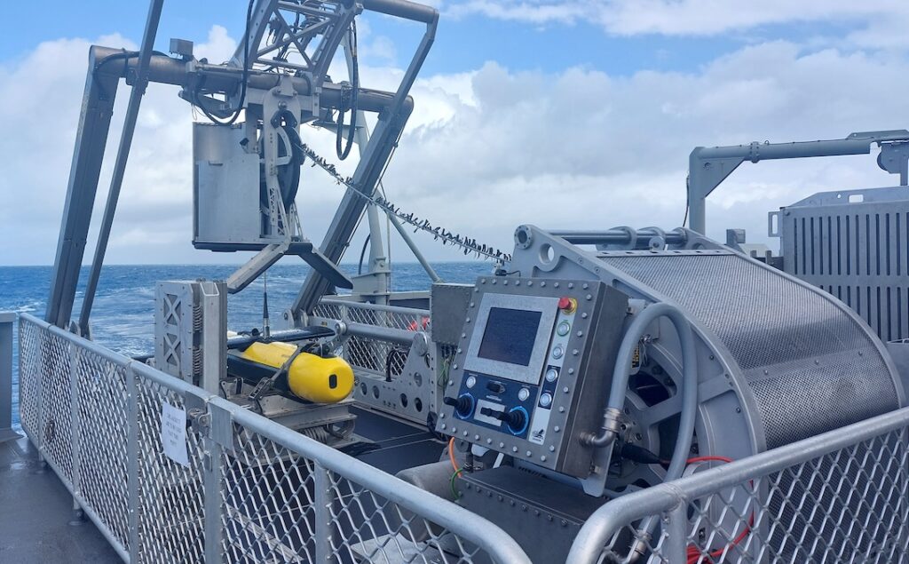
The software essentially splits the workload of Kongsberg Discovery’s HiPAP systems, with the positioning and processing managed onboard the vessel processor, while a client user interface is run remotely over a lower bandwidth VPN connection. The remote connection can be via satellite, 4G, 5G or Maritime broadband radio.
The user interface can also be operated directly on the vessel, as in a traditional setup, whilst at the same time having the option for shore-based operators to log in and take over for a shift, or provide expert support.
Simplifying Benefits
HiPOS can be used across the latest generation of Kongsberg Discovery HiPAP systems, including the 602, 502, 352 and µPAP solutions.
In addition to the software innovation, the Norwegian-headquartered business has also added two models of portable SSBL acoustic systems to its market-leading portfolio, the µPAP 201-C and HiPAP 352P-C.
With computers built into the transceiver/transducer housing this offering allows for easy installation on smaller uncrewed vessels by negating the need for a separate onboard computer.
Evolving Demand
Spencer Collins, Vice President for Sales, Kongsberg Discovery, commented; “Our proven HiPAP systems ensure accurate positioning of Remotely Operated Vehicles (ROVs), Autonomous Underwater Vehicles (AUVs), towed bodies, or structures, as well as data recovery from cNODE sensor logging transponders and cNODE modems. We’ve seen global demand grow and now evolve, with a clear call for a solution that allows greater remote, onshore control.
“Meeting that challenge, and addressing this customer ‘pain point’, has been the prime motivation for this new development. We believe this user-friendly software can be a key piece of the puzzle in delivering safe, secure, and more sustainable operations in the most demanding environments.”


