


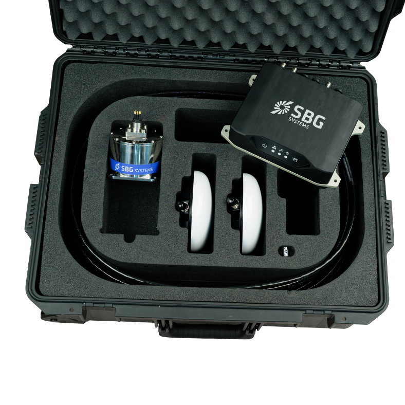
The Navsight Marine is a versatile, high-precision motion and navigation solution tailored for hydrographic applications, combining advanced IMU and GNSS technologies to deliver exceptional orientation, heave, and centimeter-level positioning in both shallow and deep-water surveys.
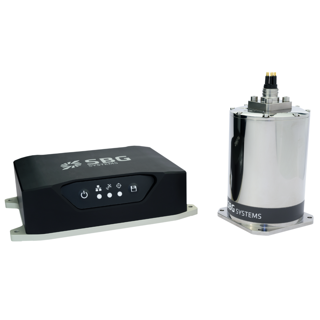
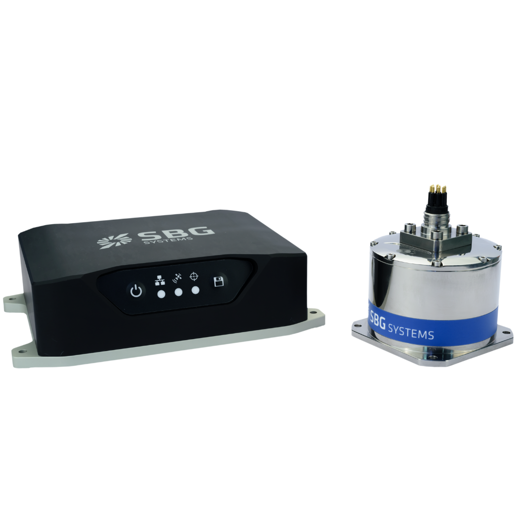
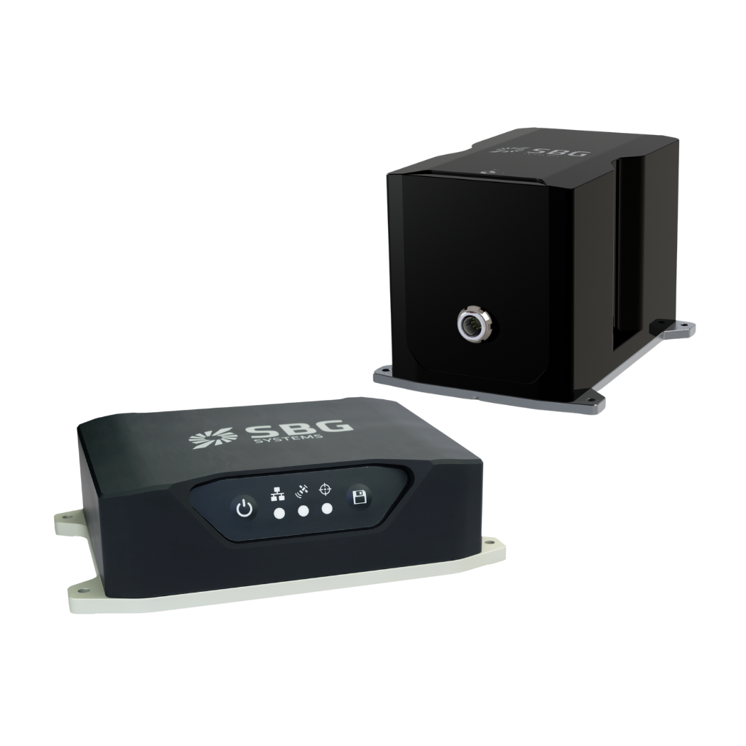
Designed as a modular system, Navsight Marine offers hydrographers flexibility through configurable IMU grades — Ekinox for shallow surveys, Apogee for demanding GNSS-denied environments, and Horizon with closed-loop FOG for ultra-high precision — all integrated with a robust processing unit and intuitive setup tools.
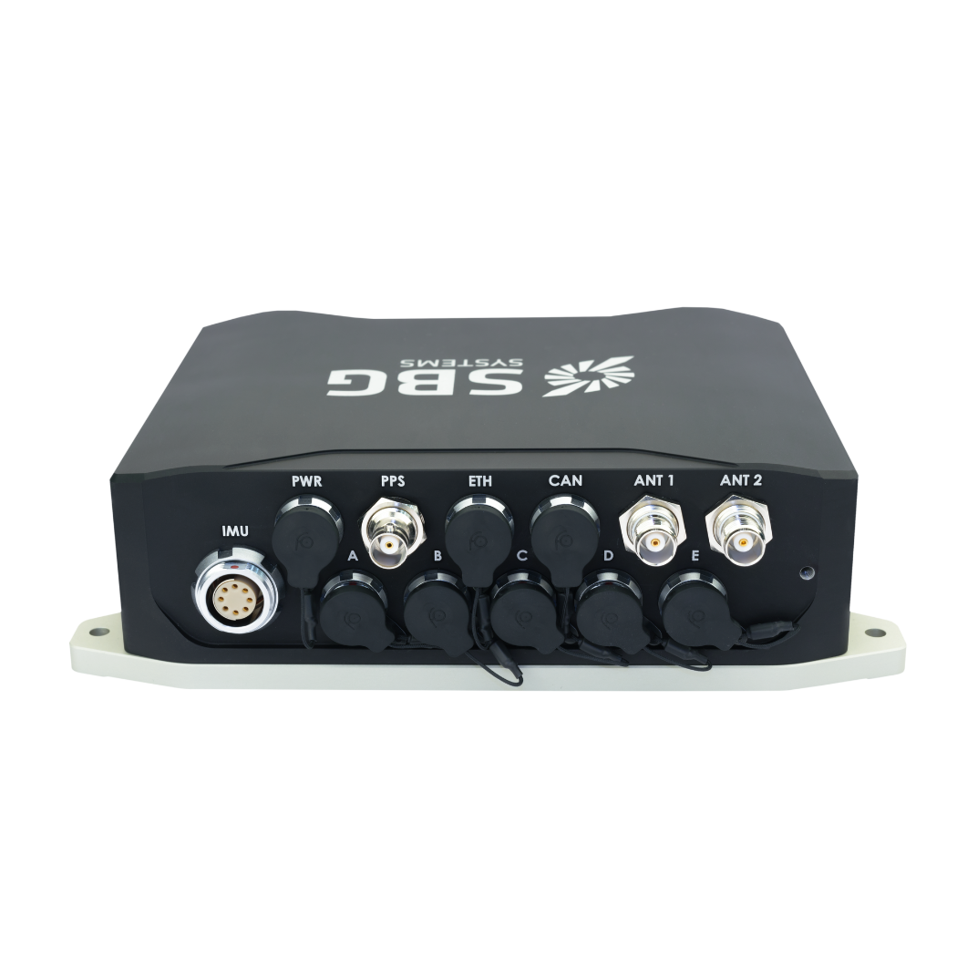
Seamlessly interfacing with multibeam echosounders and survey software, Navsight Marine provides real-time heave accuracy down to 5 cm and near real-time delayed heave to 2 cm, ensuring reliable marine data acquisition under dynamic conditions.
With an ITAR-free design, intuitive web-based configuration, Qinertia post-processing compatibility, and robust IP68 or deep-rated sensor options, Navsight Marine elevates hydrographic operations on vessels ranging from small survey boats to large oceanographic ships.
Specifications:
| Ekinox Grade | Apogee Grade | Horizon Grade | |
| RTK Horizontal Position: | 0.01 m + 0.5 ppm | 0.01 m + 0.5 ppm | 0.01 m + 0.5 ppm |
| RTK Roll/Pitch Accuracy: | 0.015° | 0.008° | 0.007° |
| RTK Heading Accuracy: | 0.02° | 0.01° | 0.01° |
| GNSS Receiver: | Internal geodetic dual-antenna | Internal geodetic dual-antenna | Internal geodetic dual-antenna |
| Weight: | 1,940 g | 1,940 g | 1,940 g |
| Dimensions (L×W×H): | 227 × 156 × 63 mm | 227 × 156 × 63 mm | 233 × 156 × 63 mm |


