


M5000
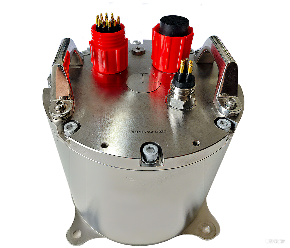
The M5000 is a powerful FOG and quartz-based inertial navigation system that provides robust navigation, position and attitude control capabilities for subsea platforms such as crewed and uncrewed underwater vehicles. Featuring a built-in multi-frequency GNSS receiver, it can be integrated with an external Doppler Velocity Log and outputs a range of critical precision real-time data such as attitude, heave, heading, position, and velocity.
Available in three different performance variants, the rugged INS is housed in a titanium pressure-resistant and watertight housing that is rated to 3000 or 6000 meters. Data can be output via serial RS-232/RS-422, Ethernet or PPS.
Specifications:
| M5000-A | M5000-B | M5000-C | |
| Dimensions: | 180 x 205 mm | ||
| Weight: | 10 kg | ||
| Power: | ≤20W | ||
| Angular Velocity Range: | ±300o/s | ±500o/s | ±500o/s |
| Heading Accuracy: (RMS, 1σ) |
≤0.2o sec ϕ (pure inertial 1h) ≤0.1o sec ϕ (GNSS + INS) |
≤0.3o sec ϕ (pure inertial 1h) ≤0.2o sec ϕ (GNSS + INS) |
≤0.4o sec ϕ (pure inertial 1h) ≤0.2o sec ϕ (GNSS + INS) |
| Attitude Accuracy: (RMS, 1σ) |
≤0.01o | ≤0.02o | ≤0.02o |
| Heave Accuracy: (RMS) |
≤5cm or 5% (take larger value) | ||
| Position Accuracy: | GNSS-assisted (RMS): ≤0.3% ± 3m DVL-assisted: 0.6% D Pure inertial: 2 nm/hr |
GNSS-assisted (RMS): ≤0.3% ± 5m DVL-assisted: 0.8% D Pure inertial: 3 nm/hr |
GNSS-assisted (RMS): ≤0.3% ± 5m DVL-assisted: 0.8% D Pure inertial: 3 nm/hr |
| Data Output Frequency: | 0 – 200 Hz configurable | ||


