


M4000
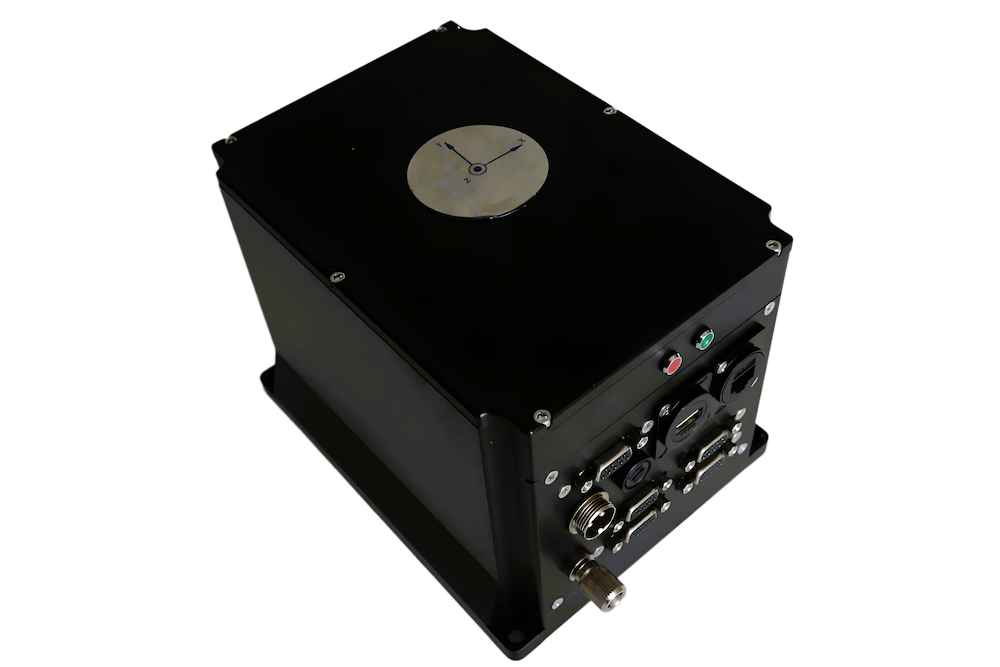
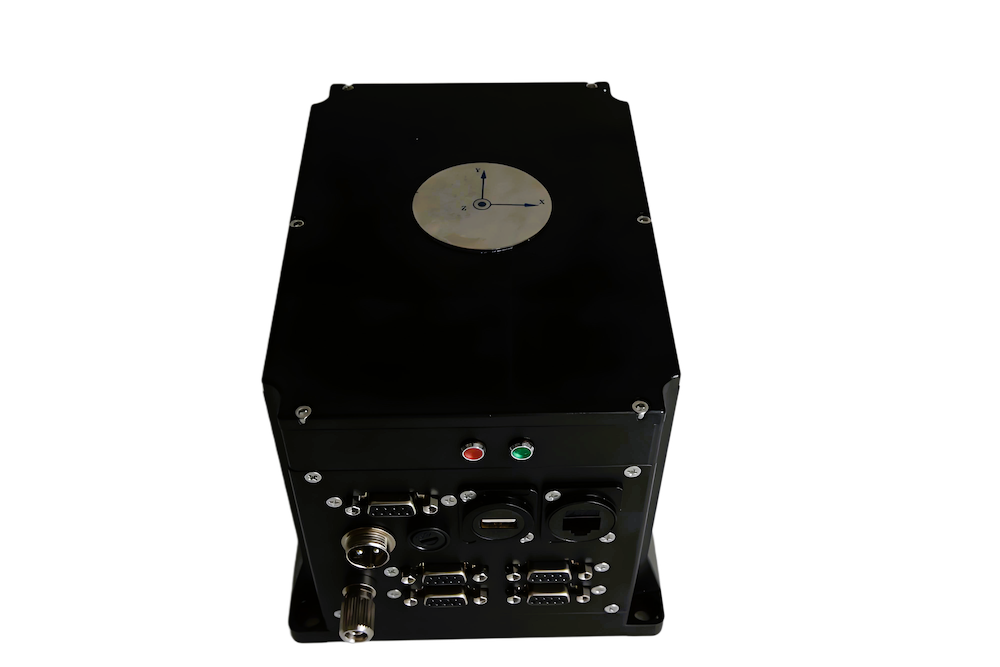
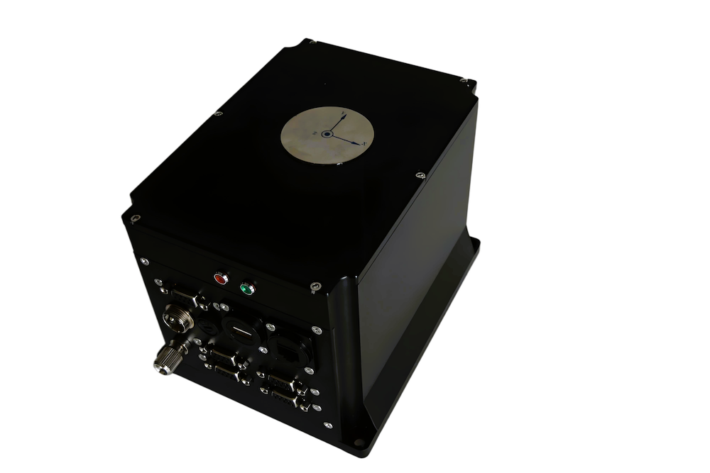
The M4000 is a cost-effective survey-grade FOG-based inertial navigation system that is designed for easy installation into a wide range of surface and subsea vessels and equipment. It can be configured for operation as a single-ended or differential GNSS-aided unit, or in undamped mode for output of high-precision attitude, heave, position and velocity data.
The high-precision strapdown sensor can be integrated with an external Doppler Velocity Log, and is available in three different performance variants. Data can be output via serial, Ethernet or USB interfaces, and custom protocols can be defined.
Specifications:
| M4000-A | M4000-B | M4000-C | |
| Dimensions: | 180 x 160 x 205 mm | ||
| Weight: | 6 kg | ||
| Power: | ≤20W | ||
| Angular Velocity Range: | ±300o/s | ±500o/s | ±500o/s |
| Heading Accuracy: (RMS, 1σ) |
≤0.2o sec ϕ (pure inertial 1h) ≤0.1o sec ϕ (GNSS + INS) |
≤0.3o sec ϕ (pure inertial 1h) ≤0.2o sec ϕ (GNSS + INS) |
≤0.4o sec ϕ (pure inertial 1h) ≤0.2o sec ϕ (GNSS + INS) |
| Attitude Accuracy: (RMS, 1σ) |
≤0.01o | ≤0.02o | ≤0.02o |
| Heave Accuracy: (RMS) |
≤5cm or 5% (take larger value) | ||
| Position Accuracy: | GNSS-assisted (RMS): ≤0.3% ± 3m DVL-assisted: 0.6% D Pure inertial: 2 nm/hr |
GNSS-assisted (RMS): ≤0.3% ± 5m DVL-assisted: 0.8% D Pure inertial: 3 nm/hr |
GNSS-assisted (RMS): ≤0.3% ± 5m DVL-assisted: 0.8% D Pure inertial: 3 nm/hr |
| Data Output Frequency: | 0 – 200 Hz configurable | ||


