

Showcase your capabilities
If you design, build or supply Marine GPS GNSS Devices, create a profile to showcase your capabilities and connect with visitors who have an active requirement for your solutions.



Find advanced marine GPS/GNSS solutions for precise positioning and navigation at sea. Choose from high-performance GNSS modules and devices designed to meet the challenges of marine environments. Whether you need reliable GNSS devices for offshore operations or cutting-edge systems for marine positioning, explore technology that ensures accuracy and durability for various seafaring applications.
Read the Technology Overview



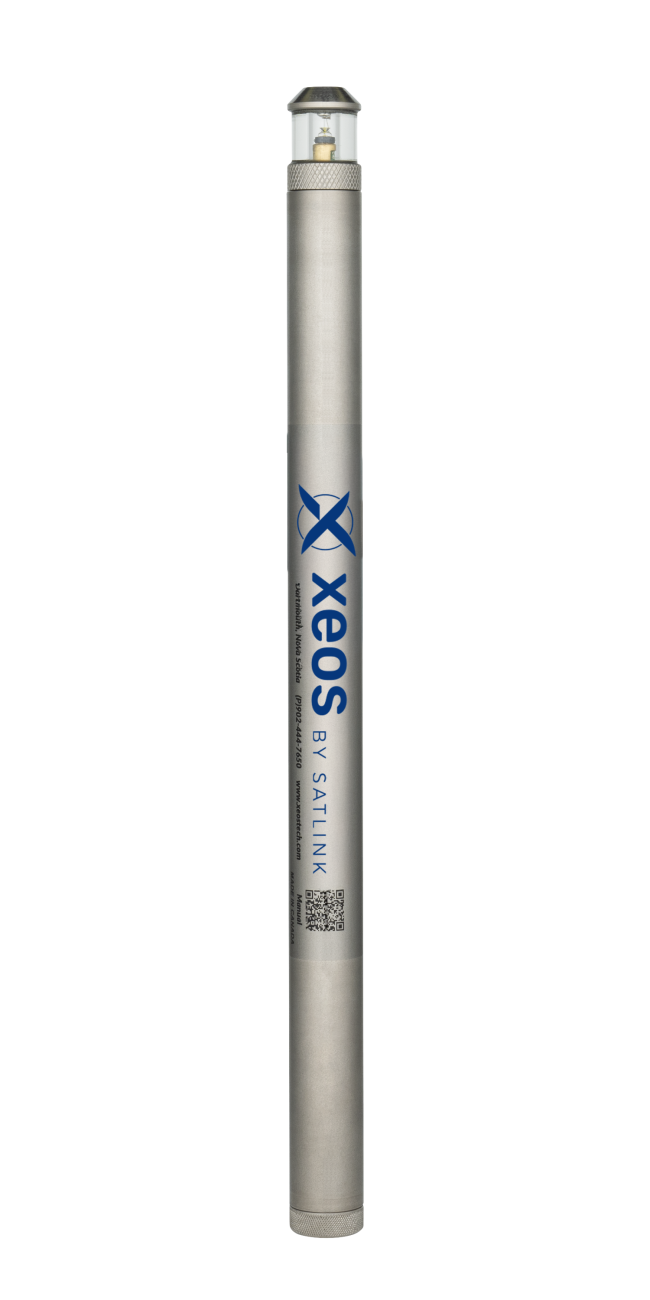
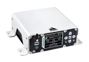
Precise GNSS & GPS Positioning Solutions for the Toughest Marine & Maritime Environments


Advanced Inertial Navigation, Motion & Positioning Solutions for Marine Applications

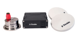
High-Accuracy Positioning, Orientation & Navigation Systems for Marine & Maritime Applications

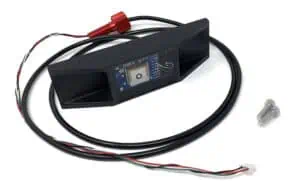
Cutting-Edge Underwater Imaging & Positioning Solutions for Subsea Exploration

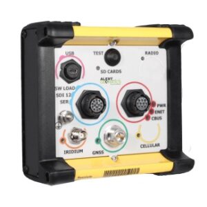
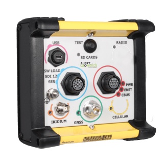
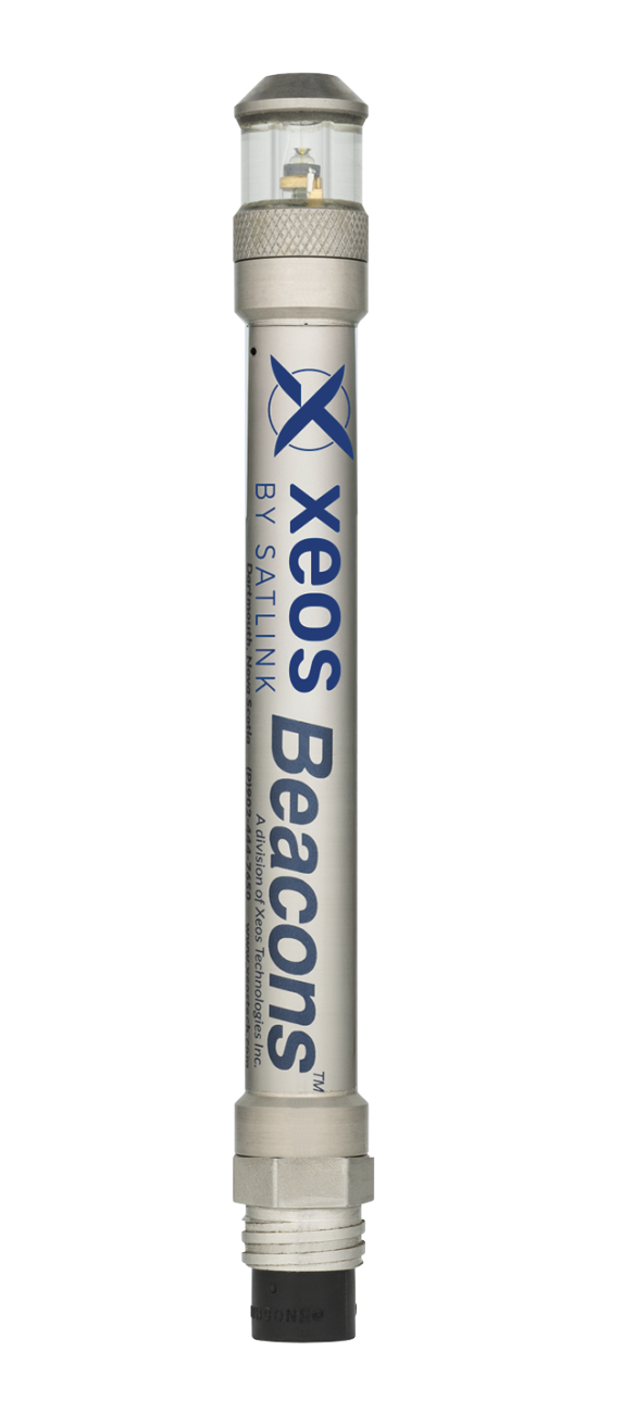
Telemetry Tracking Beacons & Equipment for Marine & Offshore Applications

Cutting-Edge Surveying, Positioning & Sensing Solutions for Hydrographic & Oceanographic Applications

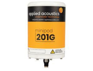
Innovative Subsea & Marine Navigation, Positioning & Survey Solutions

If you design, build or supply Marine GPS GNSS Devices, create a profile to showcase your capabilities and connect with visitors who have an active requirement for your solutions.

Marine GPS and GNSS systems are essential tools for accurate navigation, positioning and tracking within the oceanographic, commercial, and defense sectors. These systems ensure vessels, submersibles, and surface buoys maintain precise positioning across vast marine environments and in a variety of use cases such as maritime operations, scientific exploration, and offshore industries.
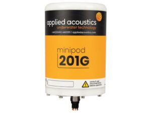
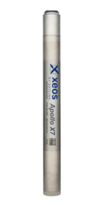
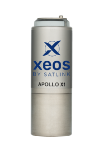
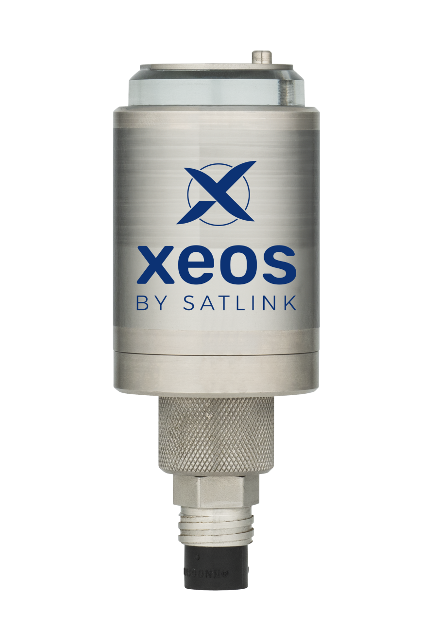
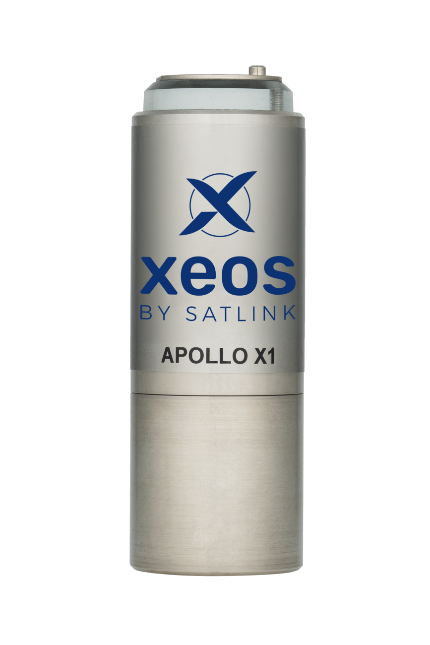
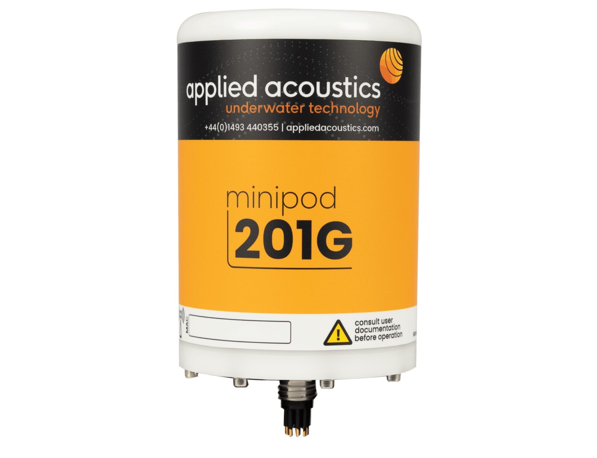
Marine GPS MiniPods submersible GNSS receivers by Applied Acoustics
In marine environments, positioning accuracy is paramount for ensuring safety, efficiency, and mission success. Unlike many terrestrial applications, marine GPS and GNSS systems must operate in environments where external factors such as water currents, limited visibility, and satellite signal interference create significant challenges. To mitigate these issues, GNSS devices may leverage multiple satellite constellations, providing enhanced positioning accuracy and redundancy.
Marine GNSS and GPS devices operate by receiving signals from multiple satellites orbiting the Earth using a dedicated GNSS receiver and one or more antennas. By calculating the time it takes for signals to reach the receiver, these systems determine the exact location of vessels or equipment. Multi-constellation GNSS systems can utilize a combination of satellite networks, including GPS, Galileo, GLONASS, and BeiDou. This approach improves accuracy and reliability, especially in remote oceanic regions where single-constellation GPS coverage may be limited.
GNSS correction techniques such as SBAS, RTK, and PPP can be applied to improve accuracy by compensating for atmospheric delays, satellite clock errors, and other signal distortions. These methods are particularly valuable for offshore operations that demand centimeter-level precision.
GNSS cannot be used as a standalone navigation or positioning solution for subsea platforms such as ROVs, AUVs and submarines, due to the fact that the satellite signals cannot penetrate water. However, marine GNSS devices can often be integrated with subsea positioning solutions to provide a source of information. For instance, USBL (ultra-short baseline) systems can be fed with GNSS data from the surface, which can then be converted to absolute position and utilized underwater for acoustic positioning and tracking
Underwater, and in GPS-denied environments , inertial navigation systems (INS) can also be utilized to take over from GNSS. INS uses accelerometers and gyroscopes to track movement relative to a known starting point, allowing vessels to continue accurate navigation even when GNSS signals are temporarily unavailable.
Marine positioning technology spans a variety of devices designed to meet different operational needs:
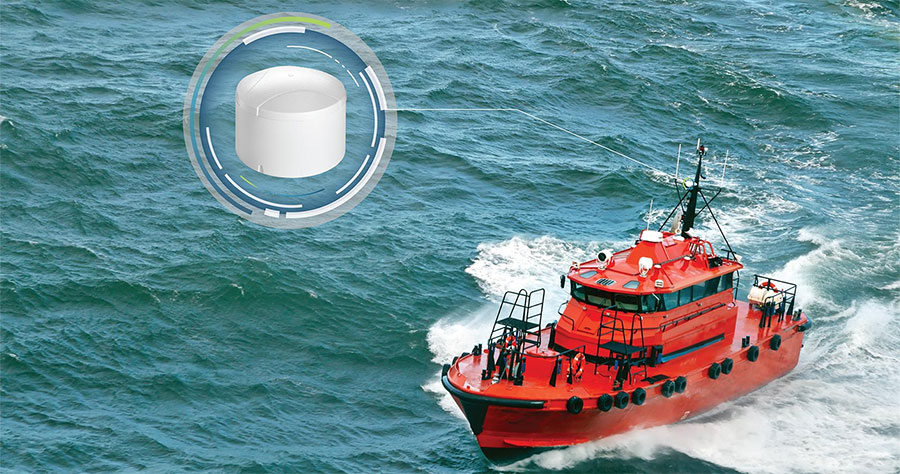
Marine GPS Trackers – These devices are used for real-time tracking of vessels, buoys, and other surface assets. Marine GPS trackers are essential for fleet management, maritime navigation, and fisheries, allowing for route optimization and emergency response coordination.
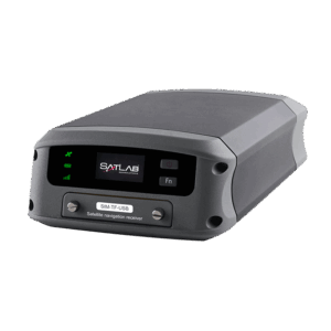
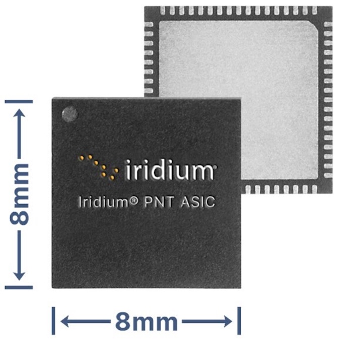
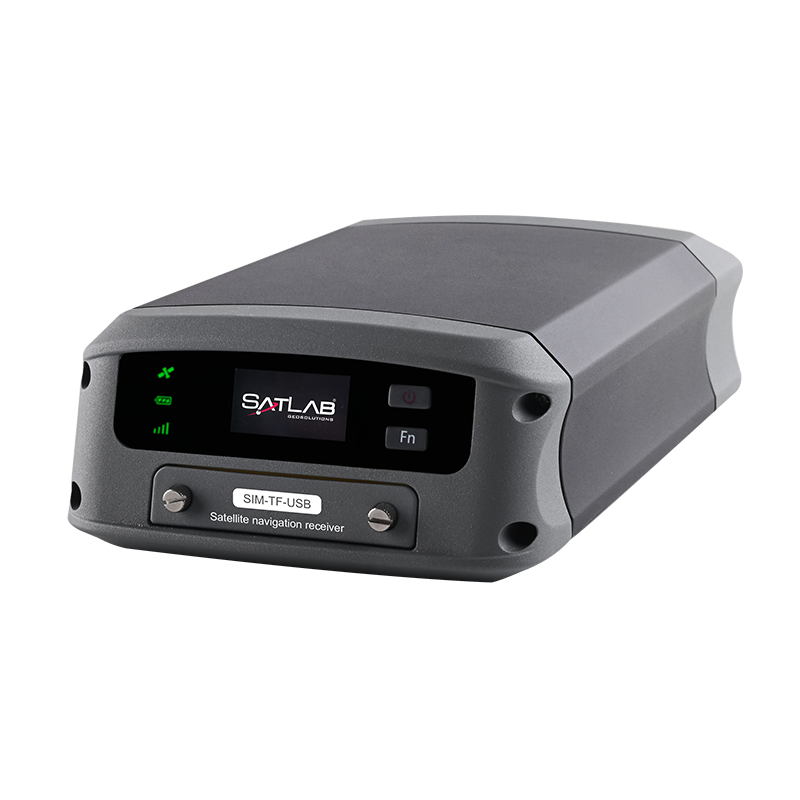
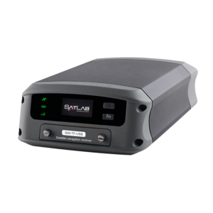
Marine positioning GNSS module by SatLab Geosolutions
GNSS Modules – A GNSS module provides high-accuracy positioning by leveraging multi-constellation satellite networks. These modules are often embedded in marine navigation systems to ensure accurate geospatial data collection, even in signal-challenged environments.
Submersible GPS Systems – Designed for underwater applications, submersible GPS units obtain satellite data at the surface and work in conjunction with acoustic positioning to determine location beneath the surface. These systems are vital for deep-sea exploration and subsea infrastructure projects.
Marine GPS Receivers – GPS receivers that adhere to the NMEA 0183 and NMEA 2000 standards enable seamless data sharing between navigation instruments, sonar systems, and marine GPS systems. This compatibility ensures that navigational data can be transmitted across various devices on board vessels.
Marine GPS and GNSS devices may need to be ruggedized in order to withstand harsh ocean environments. These systems are often encased in corrosion-resistant materials and sealed to prevent water ingress, adhering to IP67 or IP68 waterproofing standards. Vibration and shock resistance is ensured through compliance with MIL-STD-810, protecting devices during vessel operations and submersion. Temperature resilience is achieved by designing components to operate across extreme ranges, which is particularly important for operation in polar regions. Additionally, electromagnetic interference (EMI) shielding safeguards signal integrity, ensuring reliable performance in proximity to powerful marine electronics and communications systems.
Marine GPS and GNSS devices are utilized in a wide variety of maritime industries, marine applications, and scientific fields, including:
Scientific Research and Oceanography – Marine positioning systems support oceanographic studies by tracking the movement of research vessels, submersibles, and surface buoys. These systems are critical for mapping ocean floors, monitoring climate patterns, and studying marine ecosystems.
Commercial Shipping and Navigation – Maritime GPS systems enhance route planning, collision avoidance, and vessel monitoring. Real-time marine GPS tracking systems improve the efficiency and safety of global shipping operations, reducing fuel consumption and minimizing environmental impact.
Offshore Energy and Exploration – GNSS devices are used to position offshore platforms, subsea infrastructure, and remotely operated vehicles during oil and gas exploration. Accurate marine GPS systems ensure the precise placement of equipment and contribute to safer operations in harsh offshore environments.
Fisheries Management and Conservation – Marine GPS tracking systems monitor fishing vessels, ensuring compliance with maritime conservation zones and reducing illegal fishing activities. GNSS technologies also assist in mapping fish populations and tracking migration patterns.
Naval & Defense – Marine GNSS and GPS systems are critical for naval operations, supporting fleet movements, surveillance missions, and coastal defense initiatives. They may be used in conjunction with Inertial navigation and DVL technologies to enhance the operational capabilities of submarines and military unmanned surface vessels (USVs).
 Searching Companies & Products

 Subscribe to the Weekly eBrief
The latest engineering and technical developments straight to your inbox - join thousands of engineers who receive it.
Subscribe to the Weekly eBrief
The latest engineering and technical developments straight to your inbox - join thousands of engineers who receive it.